
Ofbyld:Cyprus relief location map.jpg
Grutte fan dit proefbyld: 800 × 477 piksels. Oare resolúsjes: 320 × 191 piksels | 640 × 382 piksels | 1.024 × 611 piksels | 1.280 × 763 piksels | 2.126 × 1.268 piksels.
Oarspronklik bestân (2.126 × 1.268 pixels, bestânsgrutte: 674 KB, MIME-type: image/jpeg)
| Beskriuwing |
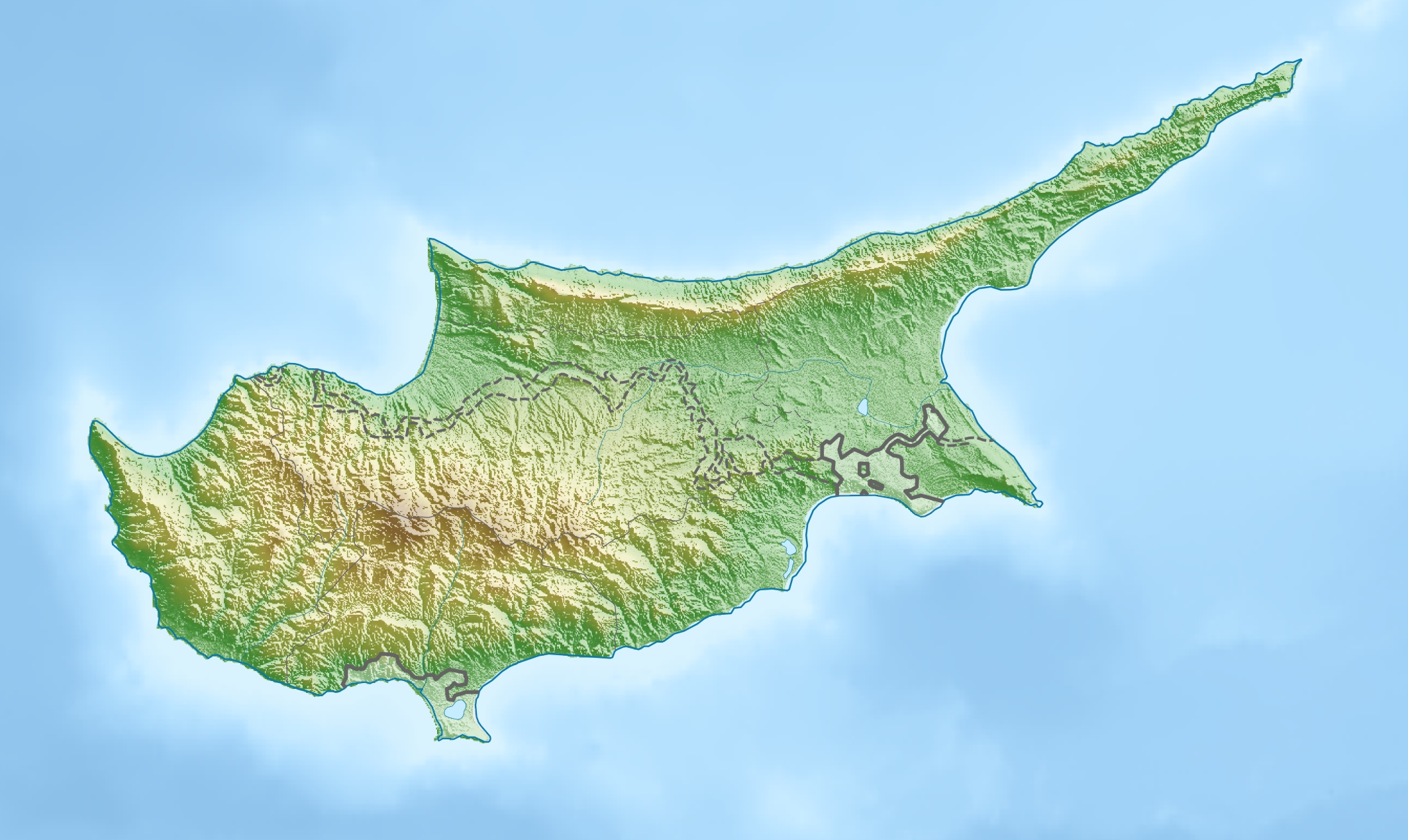
Deutsch: Physische Positionskarte von Zypern.
Quadratische Plattkarte, N-S-Streckung 115 %. Geographische Begrenzung der Karte:
English: Physical location map of Cyprus.
Equirectangular projection, N/S stretching 115 %. Geographic limits of the map:
|
| Datum | |
| Boarne | Eigen wurk, using map data from administrative map by NordNordWest. The relief was created from SRTM-3 relief data |
| Auteur | Carport |
| Tastimming (Reusing this file) |
This file is licensed under the Creative Commons Attribution-Share Alike 3.0 Unported license.
|
| Oare ferzjes |
|

Triemskiednis
Klik op in datum/tiid om it bestân te besjen sa't it op dat stuit wie.
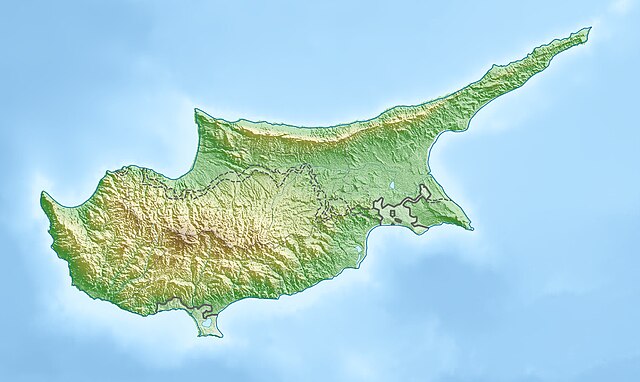
| Datum/Tiid | Miniatuer | ôfmjittings | Meidogger | Opmerking | |
|---|---|---|---|---|---|
| lêste | 15 mrt 2010, 19.26 | | 2.126 × 1.268 (674 KB) | Carport | {{Information |Description={{de|Physische Positionskarte von {{w|Zypern|3=de}}}} Quadratische Plattkarte, N-S-Streckung 115 %. Geographische Begrenzung der Karte: * N: 35.8° N * S: 34.4° N * W: 32.1° O * O: 34.8° O {{en|Physical location map of {{w|Cy |
Bestânsgebrûk
De neikommende 4 siden brûke dit bestân:
Globaal bestânsgebrûk
De neikommende oare wiki's brûke dit bestân:
- Gebrûk op als.wikipedia.org
- Gebrûk op ar.wikipedia.org
- Gebrûk op arz.wikipedia.org
- Gebrûk op av.wikipedia.org
- Gebrûk op azb.wikipedia.org
- Gebrûk op az.wikipedia.org
- Gebrûk op ba.wikipedia.org
- Gebrûk op be-tarask.wikipedia.org
- Gebrûk op be.wikipedia.org
- Gebrûk op bn.wikipedia.org
- Gebrûk op bs.wikipedia.org
- Gebrûk op ceb.wikipedia.org
- Gebrûk op ce.wikipedia.org
- Gebrûk op ckb.wikipedia.org
- Gebrûk op crh.wikipedia.org
- Gebrûk op cs.wikipedia.org
- Gebrûk op cv.wikipedia.org
- Gebrûk op da.wikipedia.org
- Gebrûk op de.wikipedia.org
- Gebrûk op de.wikivoyage.org
Mear globaal gebrûk fan dit bestân besjen.