
Ofbyld:West Texas Hwy 302 west of NoTrees.jpg

Grutte fan dit proefbyld: 800 × 531 piksels. Oare resolúsjes: 320 × 213 piksels | 640 × 425 piksels | 1.024 × 680 piksels | 1.280 × 850 piksels | 2.048 × 1.360 piksels.
Oarspronklik bestân (2.048 × 1.360 pixels, bestânsgrutte: 1,23 MB, MIME-type: image/jpeg)
Gearfetting
| Beskriuwing |
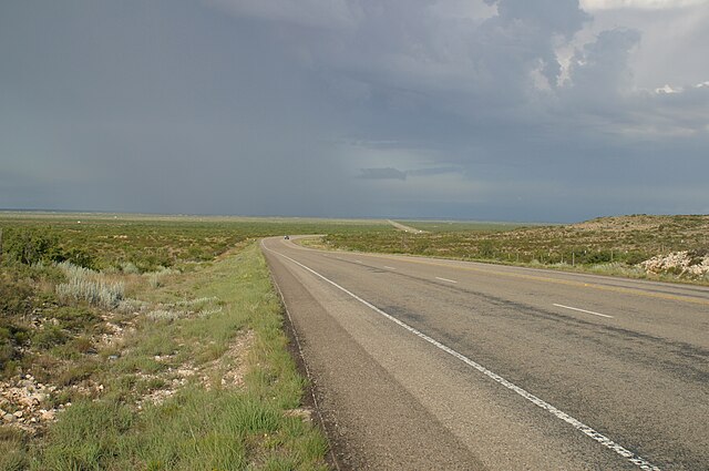
English: Looking west toward a distant storm along Texas State Highway 302 about 3 km west of Notrees, Texas. |
| Datum | |
| Boarne | Eigen wurk |
| Auteur | Leaflet |
| Oare ferzjes | Other public domain photos of the Llano Estacado and West Texas |
| Camera location | | View this and other nearby images on: OpenStreetMap |
|---|
Lisinsje
| I, the copyright holder of this work, release this work into the public domain. This applies worldwide. In some countries this may not be legally possible; if so: I grant anyone the right to use this work for any purpose, without any conditions, unless such conditions are required by law. |
Triemskiednis
Klik op in datum/tiid om it bestân te besjen sa't it op dat stuit wie.
| Datum/Tiid | Miniatuer | ôfmjittings | Meidogger | Opmerking | |
|---|---|---|---|---|---|
| lêste | 2 okt 2009, 03.53 | | 2.048 × 1.360 (1,23 MB) | Leaflet | {{Information |Description={{en|1=Looking west toward a distant storm along {{w|Texas State Highway 302}} about 3 km west of {{w|Notrees, Texas}}.}} |Source={{own}} |Author=Leaflet |Date=2004-07-29 |Permission= |other_versions=http://www. |
Bestânsgebrûk
De neikommende side brûkt dit bestân:
Globaal bestânsgebrûk
De neikommende oare wiki's brûke dit bestân:
- Gebrûk op en.wikipedia.org
- Gebrûk op it.wikipedia.org
- Gebrûk op www.wikidata.org
- Gebrûk op zh.wikipedia.org