
Ofbyld:USA Massachusetts location map.svg

Size of this PNG preview of this SVG file: 800 × 546 piksels. Oare resolúsjes: 320 × 219 piksels | 640 × 437 piksels | 1.024 × 699 piksels | 1.280 × 874 piksels | 2.560 × 1.748 piksels | 1.050 × 717 piksels.
Oarspronklik bestân (SVG-bestân, nominaal 1.050 × 717 pixels, bestânsgrutte: 244 KB)
Gearfetting
| Beskriuwing |
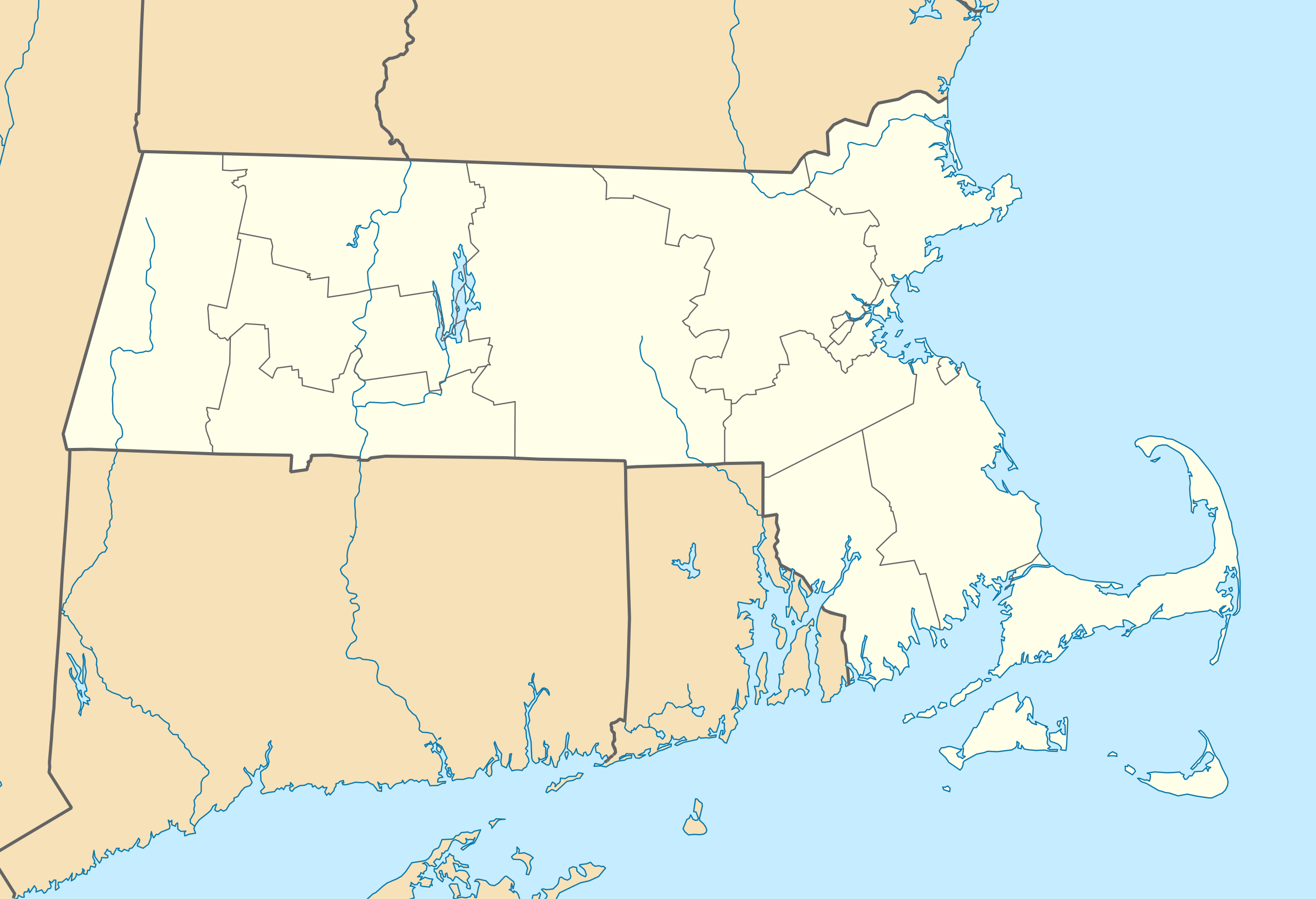
Quadratische Plattkarte, N-S-Streckung 130.0 %. Geographische Begrenzung der Karte:
Equirectangular projection, N/S stretching 130.0 %. Geographic limits of the map:
|
||
| Datum | |||
| Boarne | Eigen wurk | ||
| Auteur | Alexrk2 | ||
| Oare ferzjes |
Derivative works of this file: |
||
| SVG genesis |
|


Lisinsje
I, the copyright holder of this work, hereby publish it under the following licenses:

|
Der wurdt tastimming jûn ta kopiearjen, fersprieden en/of wizigjen fan dit dokumint ûnder de betinksten fan de GNU-lisinsje foar iepen dokumintaasje, ferzje 1.2, as eltse lettere ferzje útjûn troch de Free Software Foundation; sûnder Ynfariante Seksjes, sûnder Omkaftteksten foar de Foarkante en sûnder Omkaftteksten foar de Efterkante. In kopy fan de lisinsje is opnaam yn de seksje "Text of the GNU Free Documentation License". |
This file is licensed under the Creative Commons Attribution 3.0 Unported license.
- Fiel jo frij:
- te dielen – it wurk te kopiearjen, fersprieden en út te stjoeren
- te fermingen – it wurk oan te passen
- Under de neikommende betingsten:
- Nammefermelding – You must give appropriate credit, provide a link to the license, and indicate if changes were made. You may do so in any reasonable manner, but not in any way that suggests the licensor endorses you or your use.
You may select the license of your choice.
Triemskiednis
Klik op in datum/tiid om it bestân te besjen sa't it op dat stuit wie.
| Datum/Tiid | Miniatuer | ôfmjittings | Meidogger | Opmerking | |
|---|---|---|---|---|---|
| lêste | 5 jul 2009, 13.13 | | 1.050 × 717 (244 KB) | Alexrk2 | resize |
| 25 jun 2009, 21.38 |  | 800 × 546 (237 KB) | Alexrk2 | == Beschreibung == {{Information |Description= {{de|Positionskarte von Massachusetts, USA}} Quadratische Plattkarte, N-S-Streckung 130.0 %. Geographische Begrenzung der Karte: * N: 43.1° N * S: 41.0° N * W: 73.7° W * O |
Bestânsgebrûk
De neikommende side brûkt dit bestân:
Globaal bestânsgebrûk
De neikommende oare wiki's brûke dit bestân:
- Gebrûk op an.wikipedia.org
- Gebrûk op ar.wikipedia.org
- Gebrûk op ast.wikipedia.org
- Gebrûk op azb.wikipedia.org
- کوئنسی، ماساچوست
- ویموث، ماساچوست
- رندولف، ماساچوست
- قرندبی ، ماساچوست
- بلیس کورنر، ماساچوست
- هلند ، ماساچوست
- لینوود، ماساچوست
- سیتانز کینقدام، ماساچوست
- کوسکاتا، ماساچوست
- نیوتون سنتر، ماساچوست
- آبرندیل، ماساچوست
- هتفیلد ، ماساچوست
- ویلبراهام ، ماساچوست
- نورت امهرست، ماساچوست
- بلچرتاون ، ماساچوست
- اسمیت میلر، ماساچوست
- گونئی امهرست ، ماساچوست
- آکتون، ماساچوست
- نونانتوم، ماساچوست
- واووینت، ماساچوست
- آندوور، ماساچوست
- آشلاند، ماساچوست
- وزساقوست کولونی
- پولپیس، ماساچوست
- شاوکمو، ماساچوست
- میلتون، ماساچوست
- Gebrûk op az.wikipedia.org
- Gebrûk op be-tarask.wikipedia.org
- Gebrûk op be.wikipedia.org
Mear globaal gebrûk fan dit bestân besjen.