
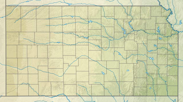
Ofbyld:USA Kansas relief location map.svg

Size of this PNG preview of this SVG file: 800 × 447 piksels. Oare resolúsjes: 320 × 179 piksels | 640 × 358 piksels | 1.024 × 573 piksels | 1.280 × 716 piksels | 2.560 × 1.432 piksels | 1.400 × 783 piksels.
Oarspronklik bestân (SVG-bestân, nominaal 1.400 × 783 pixels, bestânsgrutte: 2,2 MB)
Gearfetting
| Beskriuwing | |
| Datum | |
| Boarne |
Eigen wurk
|
| Auteur | SANtosito |
| Oare ferzjes |
 |
Lisinsje
I, the copyright holder of this work, hereby publish it under the following license:
This file is licensed under the Creative Commons Attribution-Share Alike 4.0 International license.
- Fiel jo frij:
- te dielen – it wurk te kopiearjen, fersprieden en út te stjoeren
- te fermingen – it wurk oan te passen
- Under de neikommende betingsten:
- Nammefermelding – You must give appropriate credit, provide a link to the license, and indicate if changes were made. You may do so in any reasonable manner, but not in any way that suggests the licensor endorses you or your use.
- Lyk diele – If you remix, transform, or build upon the material, you must distribute your contributions under the same or compatible license as the original.
Triemskiednis
Klik op in datum/tiid om it bestân te besjen sa't it op dat stuit wie.
| Datum/Tiid | Miniatuer | ôfmjittings | Meidogger | Opmerking | |
|---|---|---|---|---|---|
| lêste | 31 jan 2021, 03.58 | | 1.400 × 783 (2,2 MB) | SANtosito | Uploaded own work with UploadWizard |
Bestânsgebrûk
De neikommende side brûkt dit bestân:
Globaal bestânsgebrûk
De neikommende oare wiki's brûke dit bestân:
- Gebrûk op bn.wikipedia.org
- Gebrûk op ca.wikipedia.org
- Gebrûk op de.wikipedia.org
- Gebrûk op en.wikipedia.org
- McConnell Air Force Base
- Brown v. Board of Education National Historical Park
- Nicodemus National Historic Site
- Tallgrass Prairie National Preserve
- Battle of Marais des Cygnes
- Battle of Mine Creek
- Mount Sunflower
- Manhattan Regional Airport
- David Booth Kansas Memorial Stadium
- Bill Snyder Family Football Stadium
- Lake Sherwood (Kansas)
- Dodge City Regional Airport
- Garden City Regional Airport
- Great Bend Municipal Airport
- Hays Regional Airport
- Liberal Mid-America Regional Airport
- Salina Regional Airport
- Cimarron National Grassland
- Castle Rock (Kansas)
- Stormont Vail Events Center
- Colonel James Jabara Airport
- Lake Afton
- Gage Park, Topeka
- New Century AirCenter
- Tony's Pizza Events Center
- Intrust Bank Arena
- Cedar Bluff State Park
- Cheney State Park
- Clinton State Park
- Crawford State Park (Kansas)
- Cross Timbers State Park
- Eisenhower State Park (Kansas)
- El Dorado State Park
Mear globaal gebrûk fan dit bestân besjen.