
Ofbyld:USA Idaho location map.svg

Size of this PNG preview of this SVG file: 457 × 599 piksels. Oare resolúsjes: 183 × 240 piksels | 366 × 480 piksels | 585 × 768 piksels | 781 × 1.024 piksels | 1.561 × 2.048 piksels | 915 × 1.200 piksels.
Oarspronklik bestân (SVG-bestân, nominaal 915 × 1.200 pixels, bestânsgrutte: 611 KB)
Gearfetting
| Beskriuwing |
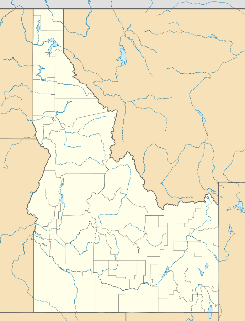
Quadratische Plattkarte, N-S-Streckung 140.0 %. Geographische Begrenzung der Karte:
Equirectangular projection, N/S stretching 140.0 %. Geographic limits of the map:
|
||
| Datum | |||
| Boarne | Eigen wurk | ||
| Auteur | Alexrk2 | ||
| Oare ferzjes |
Derivative works of this file: |
||
| SVG genesis |
|

Lisinsje
I, the copyright holder of this work, hereby publish it under the following licenses:

|
Der wurdt tastimming jûn ta kopiearjen, fersprieden en/of wizigjen fan dit dokumint ûnder de betinksten fan de GNU-lisinsje foar iepen dokumintaasje, ferzje 1.2, as eltse lettere ferzje útjûn troch de Free Software Foundation; sûnder Ynfariante Seksjes, sûnder Omkaftteksten foar de Foarkante en sûnder Omkaftteksten foar de Efterkante. In kopy fan de lisinsje is opnaam yn de seksje "Text of the GNU Free Documentation License". |
This file is licensed under the Creative Commons Attribution 3.0 Unported license.
- Fiel jo frij:
- te dielen – it wurk te kopiearjen, fersprieden en út te stjoeren
- te fermingen – it wurk oan te passen
- Under de neikommende betingsten:
- Nammefermelding – You must give appropriate credit, provide a link to the license, and indicate if changes were made. You may do so in any reasonable manner, but not in any way that suggests the licensor endorses you or your use.
You may select the license of your choice.
Triemskiednis
Klik op in datum/tiid om it bestân te besjen sa't it op dat stuit wie.
| Datum/Tiid | Miniatuer | ôfmjittings | Meidogger | Opmerking | |
|---|---|---|---|---|---|
| lêste | 20 jan 2019, 22.32 | | 915 × 1.200 (611 KB) | Milenioscuro | Does not match with the color conventions |
| 20 jan 2019, 01.26 |  | 686 × 900 (585 KB) | Allice Hunter | Test | |
| 23 jul 2009, 20.26 |  | 915 × 1.200 (611 KB) | Alexrk2 | == Beschreibung == {{Information |Description= {{de|Positionskarte von Idaho, USA}} Quadratische Plattkarte, N-S-Streckung 140.0 %. Geographische Begrenzung der Karte: * N: 49.2° N * S: 41.8° N * W: 118.1° W * O: 110.2° W {{e |
Bestânsgebrûk
De neikommende side brûkt dit bestân:
Globaal bestânsgebrûk
De neikommende oare wiki's brûke dit bestân:
- Gebrûk op af.wikipedia.org
- Gebrûk op an.wikipedia.org
- Gebrûk op ar.wikipedia.org
- Gebrûk op azb.wikipedia.org
- کانکلینق پارک، آیداهو
- راکفورد، آیداهو
- بلنچارد، آیداهو
- ایوری، آیداهو
- هیدن اسپرینقز، آیداهو
- الک سیتی، آیداهو
- بون، آیداهو
- بنینقتون، آیداهو
- راکفورد بی، آیداهو
- دی اسمت، آیداهو
- بنکس، آیداهو
- پرینستون، آیداهو
- سویتواتر، آیداهو
- مورلند، آیداهو
- رابی کریک، آیداهو
- مورفی، آیداهو
- تایهی، آیداهو
- قروولند، آیداهو
- اسمیتس فری، آیداهو
- وارن، آیداهو
- فیش هیون، آیداهو
- آتلانتا، آیداهو
- برونی، آیداهو
- جنیوا، آیداهو
- برن، آیداهو
- کینقستون، آیداهو
- قولدن، آیداهو
- دینقل، آیداهو
- چستر، آیداهو
- کلارکسویل، آیداهو
- الیس، آیداهو
- آربن، آیداهو
- آدایر، آیداهو
- واردبورو، آیداهو
- نورت پول، آیداهو
- اولا، آیداهو
- پاترزون، آیداهو
- تریومف، آیداهو
- پقرام، آیداهو
- بیچس کورنر، آیداهو
- وزتموند، آیداهو
- ویپساو سادل، آیداهو
- ویکاهونئی، آیداهو
- وانز کورنر، آیداهو
- قودریچ، آیداهو
- قرینکریک، آیداهو
Mear globaal gebrûk fan dit bestân besjen.