
Ofbyld:Swansea UK map.svg

Size of this PNG preview of this SVG file: 650 × 600 piksels. Oare resolúsjes: 260 × 240 piksels | 520 × 480 piksels | 832 × 768 piksels | 1.110 × 1.024 piksels | 2.220 × 2.048 piksels | 1.372 × 1.266 piksels.
Oarspronklik bestân (SVG-bestân, nominaal 1.372 × 1.266 pixels, bestânsgrutte: 590 KB)
| Beskriuwing |
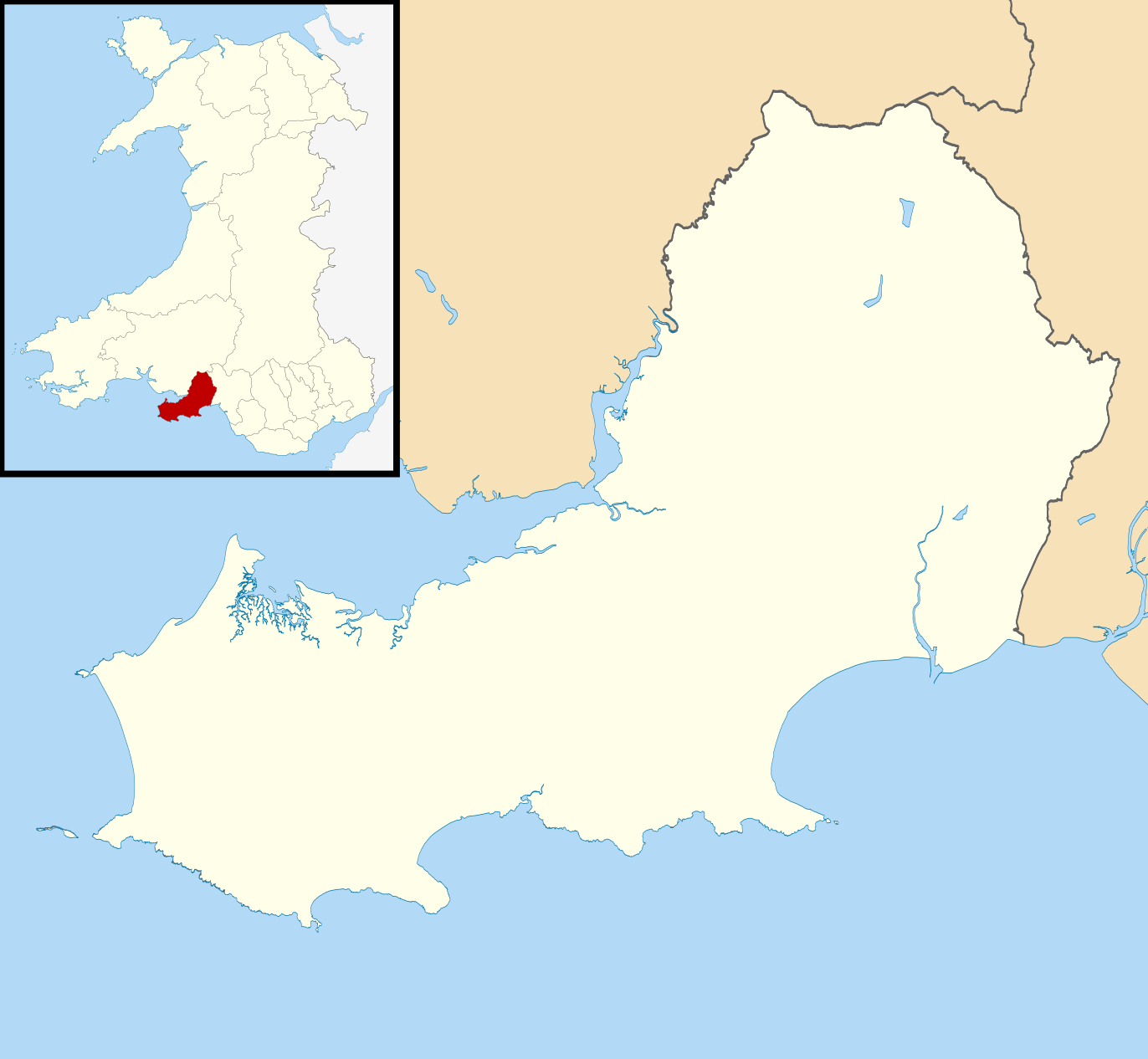
Blank map of Swansea, UK with districts shown. Equirectangular map projection on WGS 84 datum, with N/S stretched 160% Geographic limits:
|
| Datum | |
| Boarne | Ordnance Survey OpenData. Most data from Boundary-Line product. Lake data from Meridian 2 product. Inset derived from File: United Kingdom location map.svg by NordNordWest. |
| Auteur | Nilfanion, created using Ordnance Survey data |
| Tastimming (Reusing this file) |
This file is licensed under the Creative Commons Attribution-Share Alike 3.0 Unported license. Nammefermelding: Contains Ordnance Survey data © Crown copyright and database right
|
Triemskiednis
Klik op in datum/tiid om it bestân te besjen sa't it op dat stuit wie.
| Datum/Tiid | Miniatuer | ôfmjittings | Meidogger | Opmerking | |
|---|---|---|---|---|---|
| lêste | 4 aug 2010, 12.03 | | 1.372 × 1.266 (590 KB) | Nilfanion | alter inset - Wales not UK |
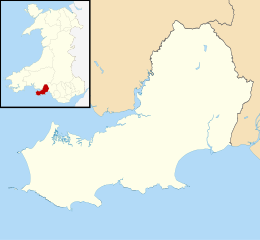
| 1 aug 2010, 21.56 |  | 1.372 × 1.266 (619 KB) | Nilfanion | {{Information |Description=Blank map of Swansea, UK with districts shown. Equirectangular map projection on WGS 84 datum, with N/S stretched 160% Geographic limits: *West: 4.35W *East: 3.83W *North: 51.80N *South: 51.50N |Source=[[w:Ordnan |
Bestânsgebrûk
Der binne gjin siden dy't dit bestân brûke.
Globaal bestânsgebrûk
De neikommende oare wiki's brûke dit bestân:
- Gebrûk op ba.wikipedia.org
- Gebrûk op cs.wikipedia.org
- Gebrûk op de.wikipedia.org
- Gebrûk op ru.wikipedia.org