
Ofbyld:Relief map of Crimea.jpg
Grutte fan dit proefbyld: 800 × 542 piksels. Oare resolúsjes: 320 × 217 piksels | 640 × 434 piksels | 1.024 × 694 piksels | 1.200 × 813 piksels.
Oarspronklik bestân (1.200 × 813 pixels, bestânsgrutte: 194 KB, MIME-type: image/jpeg)
Gearfetting
| Beskriuwing |
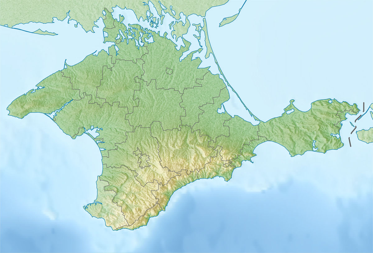
Русский: Физическая карта Автономной Республики Крым
Равноугольная проекция, стандартная параллель — 45°15′с.ш. Параметры шаблона (координаты краёв): English: Physical map of the Autonomous Republic of Crimea
Conformal projection, standard parallels — 45°15's.W. Template parameters (coordinates of the edges):
|
| Datum | |
| Boarne | |
| Auteur |
|
| This is a retouched picture, which means that it has been digitally altered from its original version. The original can be viewed here: Outline Map of Crimea.svg:
|
Lisinsje
I, the copyright holder of this work, hereby publish it under the following license:
| I, the copyright holder of this work, release this work into the public domain. This applies worldwide. In some countries this may not be legally possible; if so: I grant anyone the right to use this work for any purpose, without any conditions, unless such conditions are required by law. |
Original upload log
This image is a derivative work of the following images:
- File:Outline_Map_of_Crimea.svg licensed with PD-self
- 2010-12-06T19:49:04Z Виктор В 1000x678 (74604 Bytes) == {{int:filedesc}} == {{Information |Description={{ru|1=Позиционная карта Автономной Республики КрымРавноугольная проекция, стандартная параллел
Uploaded with derivativeFX
Triemskiednis
Klik op in datum/tiid om it bestân te besjen sa't it op dat stuit wie.
| Datum/Tiid | Miniatuer | ôfmjittings | Meidogger | Opmerking | |
|---|---|---|---|---|---|
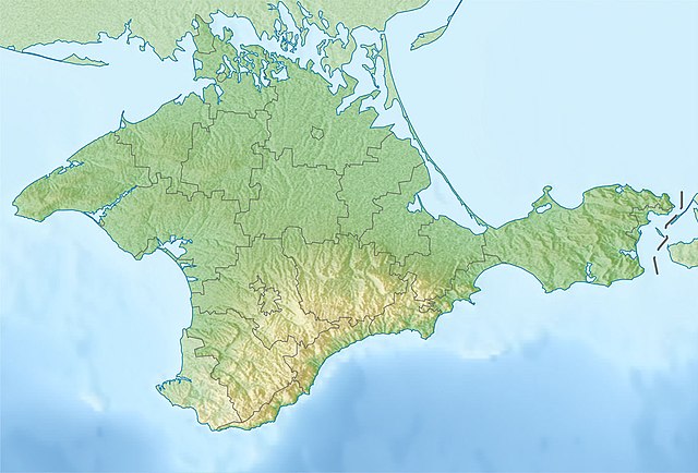
| lêste | 7 jan 2016, 01.01 | | 1.200 × 813 (194 KB) | Janitoalevic | Found another version that is the change that i made File:Relief_map_of_Crimea_(disputed_status).jpg |
| 7 jan 2016, 00.53 |  | 1.200 × 813 (416 KB) | Janitoalevic | Neutrality of the map, just physical map. | |
| 7 des 2010, 21.41 |  | 1.200 × 813 (194 KB) | Виктор В | {{Information |Description={{ru|1=Физическая карта Автономной Республики Крым<br>Равноугольная проекция, стандартная параллель — 45°15′с.ш.<br>Параметры шаб |
Bestânsgebrûk
De neikommende 2 siden brûke dit bestân:
Globaal bestânsgebrûk
De neikommende oare wiki's brûke dit bestân:
- Gebrûk op als.wikipedia.org
- Gebrûk op ar.wikipedia.org
- Gebrûk op be.wikipedia.org
- Gebrûk op bg.wikipedia.org
- Севастопол
- Симферопол
- Ялта
- Ливадия (Крим)
- Феодосия
- Керч
- Перекоп
- Судак
- Алупка
- Гаспра
- Алуща
- Евпатория
- Джанкой
- Шаблон:ПК Украйна Крим
- Балаклавски залив
- Стари Крим
- Кишлав
- Балта Чокрак
- Керченски полуостров
- Учан Су (водопад)
- Ялтенска яйла
- Бахчисарай
- Кримски планини
- Мангуп
- Арабатски залив
- Каркинитски залив
- Тарханкутски полуостров
- Красноперекопск
- Черноморское
- Лебедски острови
- Gebrûk op bn.wikipedia.org
Mear globaal gebrûk fan dit bestân besjen.