
Ofbyld:Nova Scotia topographic map.png
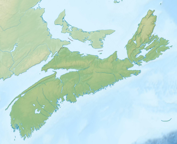
Grutte fan dit proefbyld: 734 × 599 piksels. Oare resolúsjes: 294 × 240 piksels | 588 × 480 piksels | 940 × 768 piksels | 1.254 × 1.024 piksels | 1.342 × 1.096 piksels.
Oarspronklik bestân (1.342 × 1.096 pixels, bestânsgrutte: 1,21 MB, MIME-type: image/png)
Gearfetting
| Beskriuwing |
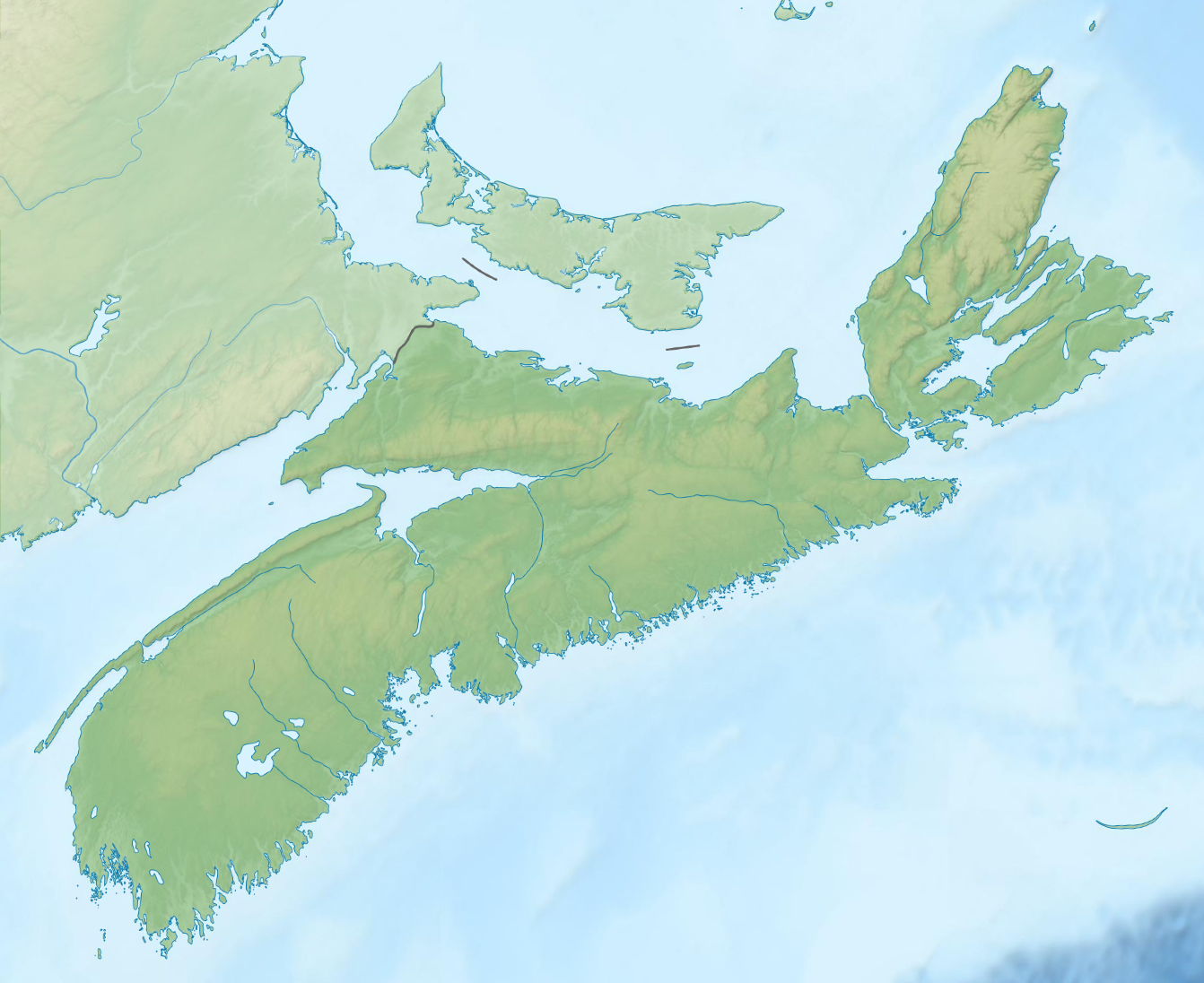
English: Topographic location map of Nova Scotia, Canada
Equirectangular projection, N/S stretching 145 %. Geographic limits of the map:
|
| Datum | |
| Boarne | File:Carte topographique des Provinces Maritimes du Canada.svg |
| Auteur | Sémhur, GrandEscogriffe |
| Oare ferzjes |
|


Lisinsje
This file is licensed under the Creative Commons Attribution-Share Alike 4.0 International license.
- Fiel jo frij:
- te dielen – it wurk te kopiearjen, fersprieden en út te stjoeren
- te fermingen – it wurk oan te passen
- Under de neikommende betingsten:
- Nammefermelding – You must give appropriate credit, provide a link to the license, and indicate if changes were made. You may do so in any reasonable manner, but not in any way that suggests the licensor endorses you or your use.
- Lyk diele – If you remix, transform, or build upon the material, you must distribute your contributions under the same or compatible license as the original.
Triemskiednis
Klik op in datum/tiid om it bestân te besjen sa't it op dat stuit wie.
| Datum/Tiid | Miniatuer | ôfmjittings | Meidogger | Opmerking | |
|---|---|---|---|---|---|
| lêste | 22 mrt 2022, 21.38 | | 1.342 × 1.096 (1,21 MB) | GrandEscogriffe | Uploaded a work by Sémhur GrandEscogriffe from File:Carte topographique des Provinces Maritimes du Canada.svg with UploadWizard |
Bestânsgebrûk
De neikommende side brûkt dit bestân:
Globaal bestânsgebrûk
De neikommende oare wiki's brûke dit bestân:
- Gebrûk op ban.wikipedia.org
- Gebrûk op en.wikipedia.org
- Bay of Fundy
- Cape Breton Highlands National Park
- New Glasgow, Nova Scotia
- Kejimkujik National Park
- Bras d'Or Lake
- Scotiabank Centre
- Minas Basin
- Cobequid Bay
- Lake Ainslie
- Mersey River (Nova Scotia)
- Centre 200
- Indian Harbour Lake, Nova Scotia
- Cape Breton Highlands
- Lake Banook
- Lake Micmac
- Sullivan's Pond
- Springfield Lake
- Mira River (Nova Scotia)
- Shubenacadie Grand Lake
- Waterford Lake
- Kejimikujik Lake
- Catcha Lake
- Medway River (Nova Scotia)
- Shelburne River
- Porters Lake, Nova Scotia
- Ingonish
- Lake Charlotte, Nova Scotia
- LaHave River
- Cape Dauphin
- White Hill (Nova Scotia)
- Lake Rossignol
- Module:Location map/data/Canada Nova Scotia/doc
- Chocolate Lake
- Sackville River
- St. Mary's River (Nova Scotia)
- Petite Rivière (Lunenburg County)
- Gaspereau Lake
- Lake Charles (Nova Scotia)
- Morris Lake (Nova Scotia)
- Russell Lake (Nova Scotia)
- Sgurra Bhreac (Nova Scotia)
- East Bay Hills (Nova Scotia)
- Queensland, Nova Scotia
- Lake Major, Nova Scotia
- Belle Lake (Nova Scotia)
- Blacketts Lake
- Ferguson Lake (Nova Scotia)
- MacMullin Lake
Mear globaal gebrûk fan dit bestân besjen.