
Ofbyld:Mapa territorios España2.svg

Size of this PNG preview of this SVG file: 800 × 457 piksels. Oare resolúsjes: 320 × 183 piksels | 640 × 366 piksels | 1.024 × 585 piksels | 1.280 × 731 piksels | 2.560 × 1.462 piksels | 3.300 × 1.885 piksels.
Oarspronklik bestân (SVG-bestân, nominaal 3.300 × 1.885 pixels, bestânsgrutte: 1,9 MB)
Gearfetting
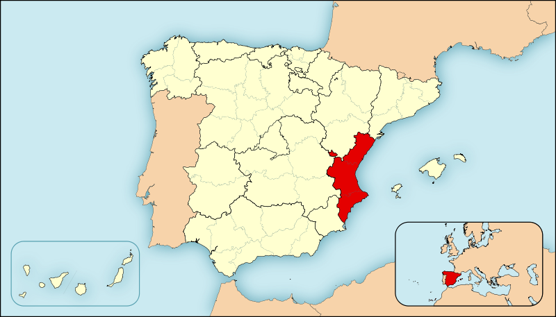
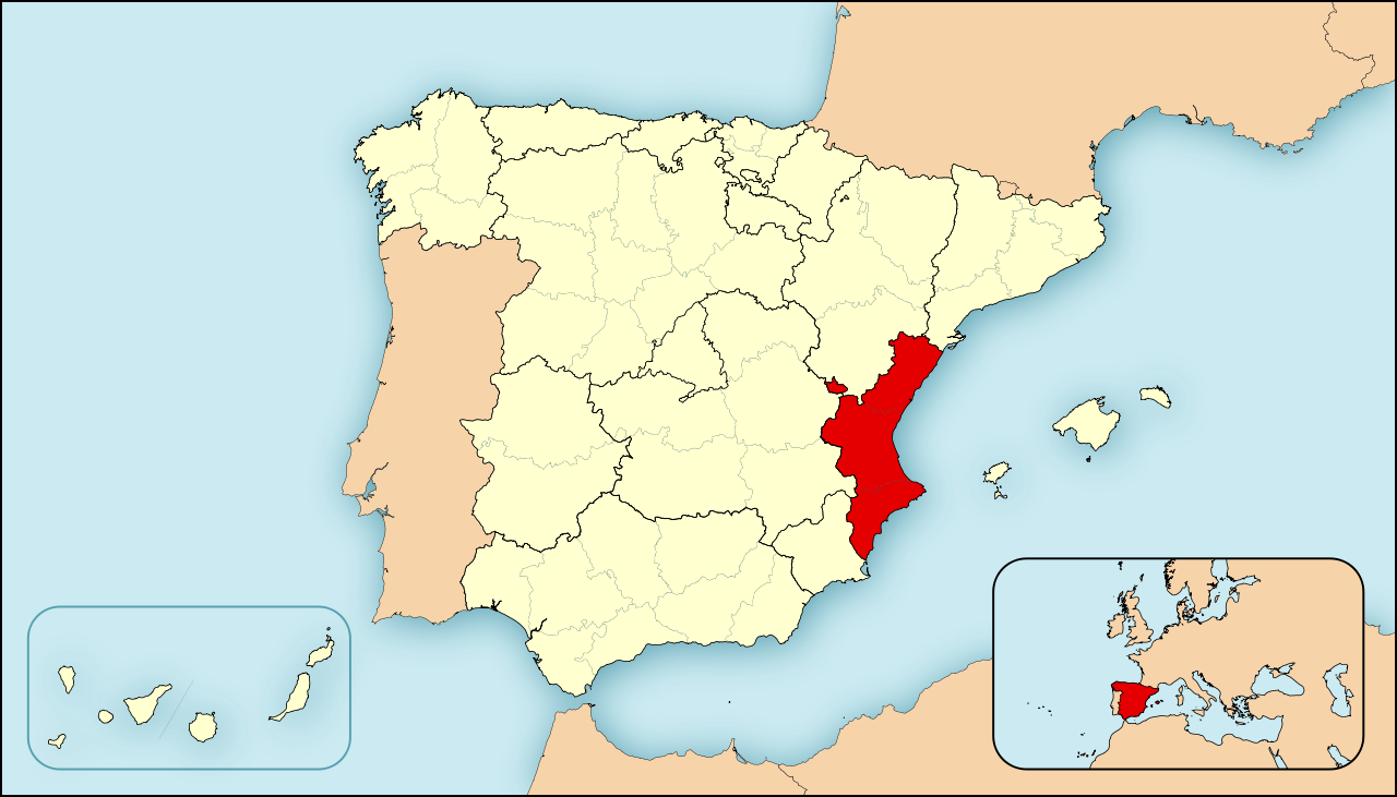
| Beskriuwing | Ejemplo de mapas de localización para España. Los colores de esta versión se ajustan a otros mapas para Wikipedia, recomendados por el WikiProject Maps |
| Datum | |
| Boarne | Eigen wurk |
| Auteur | HansenBCN |
| Oare ferzjes |
|
Lisinsje
| I, the copyright holder of this work, release this work into the public domain. This applies worldwide. In some countries this may not be legally possible; if so: I grant anyone the right to use this work for any purpose, without any conditions, unless such conditions are required by law. |
Triemskiednis
Klik op in datum/tiid om it bestân te besjen sa't it op dat stuit wie.
| Datum/Tiid | Miniatuer | ôfmjittings | Meidogger | Opmerking | |
|---|---|---|---|---|---|
| lêste | 27 apr 2008, 11.54 | | 3.300 × 1.885 (1,9 MB) | HansenBCN | Cambio de mapa, útil para geoloc, más preciso y lineas más sutiles. Formato más panorámico. |
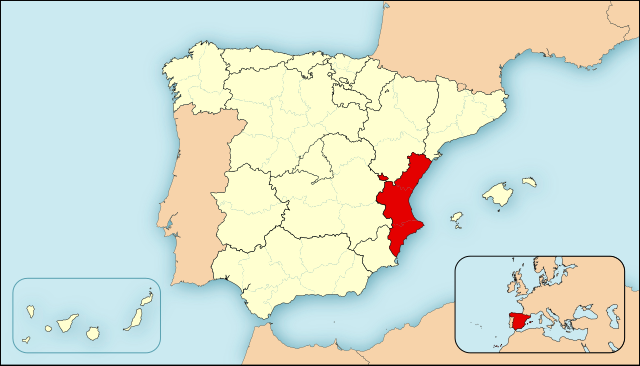
| 25 apr 2008, 17.23 |  | 545 × 365 (1,3 MB) | HansenBCN | {{Information |Description=Ejemplo de mapas de localización para España. Los colores de esta versión se ajustan a otros mapas para Wikipedia, recomendados por el ''WikiProject Maps'' |Source=self-made |Date=25/abril/2008 |Author= [[User:Ha |
Bestânsgebrûk
Der binne gjin siden dy't dit bestân brûke.
Globaal bestânsgebrûk
De neikommende oare wiki's brûke dit bestân:
- Gebrûk op es.wikipedia.org