
Ofbyld:Location of Lower Brule Reservation.svg

Size of this PNG preview of this SVG file: 800 × 492 piksels. Oare resolúsjes: 320 × 197 piksels | 640 × 394 piksels | 1.024 × 630 piksels | 1.280 × 788 piksels | 2.560 × 1.576 piksels | 6.226 × 3.832 piksels.
Oarspronklik bestân (SVG-bestân, nominaal 6.226 × 3.832 pixels, bestânsgrutte: 51 KB)
Gearfetting
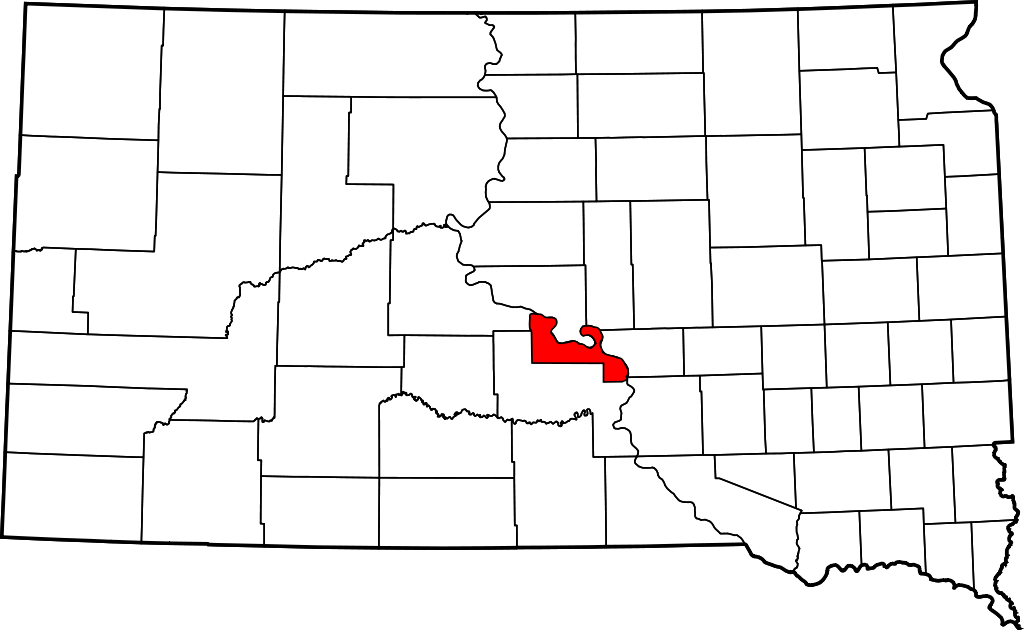
| Beskriuwing | Map showing the location of Lower Brule Indian Reservation in South Dakota. |
| Datum | |
| Boarne | Made with information from nationalatlas.gov. Made using Inkscape. |
| Auteur | Teaandcrumpets |
Lisinsje
| I, the copyright holder of this work, release this work into the public domain. This applies worldwide. In some countries this may not be legally possible; if so: I grant anyone the right to use this work for any purpose, without any conditions, unless such conditions are required by law. |
Triemskiednis
Klik op in datum/tiid om it bestân te besjen sa't it op dat stuit wie.
| Datum/Tiid | Miniatuer | ôfmjittings | Meidogger | Opmerking | |
|---|---|---|---|---|---|
| lêste | 6 okt 2007, 05.09 | | 6.226 × 3.832 (51 KB) | Teaandcrumpets | == Summary == {{Information |Description= Map showing the location of Lower Brule Indian Reservation in South Dakota. |Source= Made with information from [http://nationalatlas.gov nationalatlas.gov]. Made using Inkscape. |Date= 5 |
Bestânsgebrûk
Der binne gjin siden dy't dit bestân brûke.
Globaal bestânsgebrûk
De neikommende oare wiki's brûke dit bestân:
- Gebrûk op ca.wikipedia.org
- Gebrûk op de.wikipedia.org
- Gebrûk op en.wikipedia.org
- Gebrûk op pl.wikipedia.org
- Gebrûk op www.wikidata.org