
Ofbyld:Iran location map.svg

Size of this PNG preview of this SVG file: 672 × 600 piksels. Oare resolúsjes: 269 × 240 piksels | 538 × 480 piksels | 861 × 768 piksels | 1.147 × 1.024 piksels | 2.295 × 2.048 piksels | 1.200 × 1.071 piksels.
Oarspronklik bestân (SVG-bestân, nominaal 1.200 × 1.071 pixels, bestânsgrutte: 299 KB)
Gearfetting
| Beskriuwing |
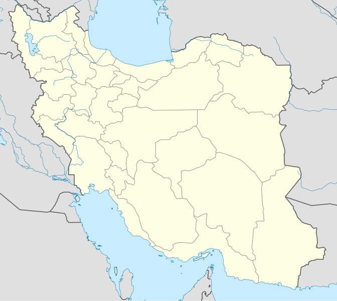
English: Location map of Iran.
Equirectangular projection. Stretched by 118.0%. Geographic limits of the map: * N: 40.0° N * S: 24.5° N * W: 43.5° E * E: 64.0° EMade with Natural Earth. Free vector and raster map data @ naturalearthdata.com. |
| Datum | |
| Boarne | Eigen wurk |
| Auteur | Uwe Dedering |
| Oare ferzjes |
Derivative works of this file:
|
| SVG genesis | This W3C-invalid map was created with Adobe Illustrator, and with Inkscape. |

Lisinsje
I, the copyright holder of this work, hereby publish it under the following licenses:
This file is licensed under the Creative Commons Attribution-Share Alike 3.0 Unported license.
- Fiel jo frij:
- te dielen – it wurk te kopiearjen, fersprieden en út te stjoeren
- te fermingen – it wurk oan te passen
- Under de neikommende betingsten:
- Nammefermelding – You must give appropriate credit, provide a link to the license, and indicate if changes were made. You may do so in any reasonable manner, but not in any way that suggests the licensor endorses you or your use.
- Lyk diele – If you remix, transform, or build upon the material, you must distribute your contributions under the same or compatible license as the original.

|
Der wurdt tastimming jûn ta kopiearjen, fersprieden en/of wizigjen fan dit dokumint ûnder de betinksten fan de GNU-lisinsje foar iepen dokumintaasje, ferzje 1.2, as eltse lettere ferzje útjûn troch de Free Software Foundation; sûnder Ynfariante Seksjes, sûnder Omkaftteksten foar de Foarkante en sûnder Omkaftteksten foar de Efterkante. In kopy fan de lisinsje is opnaam yn de seksje "Text of the GNU Free Documentation License". |
You may select the license of your choice.
Triemskiednis
Klik op in datum/tiid om it bestân te besjen sa't it op dat stuit wie.
| Datum/Tiid | Miniatuer | ôfmjittings | Meidogger | Opmerking | |
|---|---|---|---|---|---|
| lêste | 22 okt 2013, 09.59 | | 1.200 × 1.071 (299 KB) | NordNordWest | Reverted to version as of 17:55, 15 April 2013; no reason for change given |
| 21 okt 2013, 15.44 |  | 1.200 × 1.071 (640 KB) | Ekivalan | Reverted to version as of 17:38, 12 April 2013 | |
| 21 okt 2013, 15.43 |  | 1.200 × 1.071 (640 KB) | Ekivalan | Reverted to version as of 17:38, 12 April 2013 | |
| 15 apr 2013, 19.55 |  | 1.200 × 1.071 (299 KB) | NordNordWest | according to http://images.persianblog.ir/516041_B0b76ypr.jpg + Tabas -> South Khorasan province | |
| 12 apr 2013, 19.40 |  | 1.200 × 1.071 (640 KB) | Yamaha5 | Reverted to version as of 20:08, 11 July 2010 | |
| 12 apr 2013, 19.38 |  | 1.200 × 1.071 (640 KB) | Yamaha5 | Reverted to version as of 20:08, 11 July 2010 in all maps khorasan is like past! | |
| 17 mrt 2013, 13.30 |  | 1.200 × 1.071 (294 KB) | NordNordWest | upd | |
| 11 jul 2010, 22.08 |  | 1.200 × 1.071 (640 KB) | Uwe Dedering | 31. province Alborz | |
| 18 feb 2010, 19.44 |  | 1.200 × 1.071 (705 KB) | Uwe Dedering | Bahrain above water, no disputed countries | |
| 18 feb 2010, 15.00 |  | 1.200 × 1.071 (709 KB) | Uwe Dedering | {{Information |Description={{en|1=Location map of Iran. Equirectangular projection. Strechted by 118.0%. Geographic limits of the map: * N: 40.0° N * S: 24.5° N * W: 43.5° E * E: 64.0° E Made with Natural Earth. Free vector and raster map data @ |
Bestânsgebrûk
De neikommende 2 siden brûke dit bestân:
Globaal bestânsgebrûk
De neikommende oare wiki's brûke dit bestân:
- Gebrûk op af.wikipedia.org
- Gebrûk op als.wikipedia.org
- Gebrûk op an.wikipedia.org
- Gebrûk op ar.wikipedia.org
- محمد بن إسماعيل البخاري
- طهران
- صحيح مسلم
- محافظات إيران
- فخر الدين الرازي
- كأس آسيا 1968
- كأس آسيا 1976
- مسلم بن الحجاج
- قالب:خريطة مواقع إیران
- مشهد
- زلزال بم 2003
- تفجيرات زاهدان 2010
- زلزال طبس 1978
- بطولة آسيا للناشئين تحت 16 عاما 2012
- قائمة المفكرين المسيحيين في العلم
- مرتضى الأنصاري
- زلزال تبريز 2012
- شعيطة (رامشير)
Mear globaal gebrûk fan dit bestân besjen.