
Ofbyld:Hungary location map.svg

Size of this PNG preview of this SVG file: 800 × 493 piksels. Oare resolúsjes: 320 × 197 piksels | 640 × 395 piksels | 1.024 × 631 piksels | 1.280 × 789 piksels | 2.560 × 1.578 piksels | 1.210 × 746 piksels.
Oarspronklik bestân (SVG-bestân, nominaal 1.210 × 746 pixels, bestânsgrutte: 246 KB)
Gearfetting
| Beskriuwing |
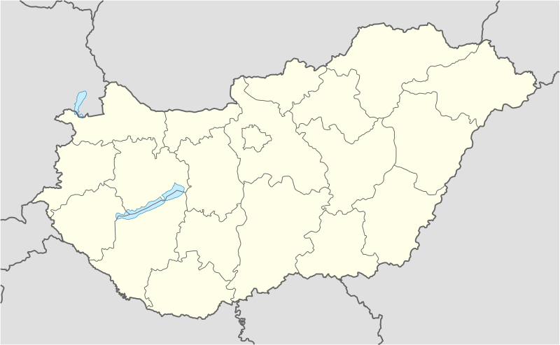
Deutsch: Positionskarte von Ungarn
Quadratische Plattkarte, N-S-Streckung 140 %. Geographische Begrenzung der Karte:
English: Location map of Hungary
Equirectangular projection, N/S stretching 140 %. Geographic limits of the map:
|
| Datum | |
| Boarne | own work, using United States National Imagery and Mapping Agency data |
| Auteur | NordNordWest (oerlis · bydragen) |
| Oare ferzjes | Derivative works of this file: Hungary location map-2.jpg |

|
This map has been made or improved in the German Kartenwerkstatt (Map Lab). You can propose maps to improve as well.
|
Lisinsje
I, the copyright holder of this work, hereby publish it under the following licenses:

|
Der wurdt tastimming jûn ta kopiearjen, fersprieden en/of wizigjen fan dit dokumint ûnder de betinksten fan de GNU-lisinsje foar iepen dokumintaasje, ferzje 1.2, as eltse lettere ferzje útjûn troch de Free Software Foundation; sûnder Ynfariante Seksjes, sûnder Omkaftteksten foar de Foarkante en sûnder Omkaftteksten foar de Efterkante. In kopy fan de lisinsje is opnaam yn de seksje "Text of the GNU Free Documentation License". |
This file is licensed under the Creative Commons Attribution-Share Alike 3.0 Unported license.
- Fiel jo frij:
- te dielen – it wurk te kopiearjen, fersprieden en út te stjoeren
- te fermingen – it wurk oan te passen
- Under de neikommende betingsten:
- Nammefermelding – You must give appropriate credit, provide a link to the license, and indicate if changes were made. You may do so in any reasonable manner, but not in any way that suggests the licensor endorses you or your use.
- Lyk diele – If you remix, transform, or build upon the material, you must distribute your contributions under the same or compatible license as the original.
You may select the license of your choice.
Triemskiednis
Klik op in datum/tiid om it bestân te besjen sa't it op dat stuit wie.
| Datum/Tiid | Miniatuer | ôfmjittings | Meidogger | Opmerking | |
|---|---|---|---|---|---|
| lêste | 15 nov 2008, 15.27 | | 1.210 × 746 (246 KB) | NordNordWest | corrected |
| 5 sep 2008, 19.30 |  | 1.210 × 746 (243 KB) | NordNordWest | frontiers corrected, size correction, file size smaller | |
| 5 jul 2008, 11.53 |  | 605 × 373 (309 KB) | NordNordWest | {{Information |Description= {{de|Positionskarte von Ungarn}} Quadratische Plattkarte, N-S-Streckung 140 %. Geographische Begrenzung der Karte: * N: 48.8° N * S: 45.5° N * W: 15.7° O * O: 23.2° O {{en|Location map of [[:en:Hungary|Hungar |
Bestânsgebrûk
De neikommende 5 siden brûke dit bestân:
Globaal bestânsgebrûk
De neikommende oare wiki's brûke dit bestân:
- Gebrûk op af.wikipedia.org
- Gebrûk op als.wikipedia.org
- Gebrûk op am.wikipedia.org
- Gebrûk op an.wikipedia.org
- Budapest
- Ecser
- Esztergom
- Buda (Hongría)
- Pest
- Óbuda
- Zichyújfalu
- Seu basilica de Sant Istevan de Budapest
- Ilesia de Matías de Budapest
- Bastión d'os Pescataires
- Banyos Széchenyi
- Banyos Gellért
- Gran Sinoga de Budapest
- Castiello de Buda
- Puent d'as Cadenas
- Puent Margit
- Parlamento d'Hongría
- Mercau Central de Budapest
- Opera Nacional d'Hongría
- Plantilla:Mapa de localización Hongría
- Sopron
- Győr
- Pécs
- Debrecen
- Szeged
- Miskolc
- Nyíregyháza
- Gebrûk op ar.wikipedia.org
- Gebrûk op ast.wikipedia.org
Mear globaal gebrûk fan dit bestân besjen.