
Ofbyld:Guyana relief location map.jpg

Grutte fan dit proefbyld: 407 × 599 piksels. Oare resolúsjes: 163 × 240 piksels | 326 × 480 piksels | 768 × 1.130 piksels.
Oarspronklik bestân (768 × 1.130 pixels, bestânsgrutte: 183 KB, MIME-type: image/jpeg)
Gearfetting
| Beskriuwing |
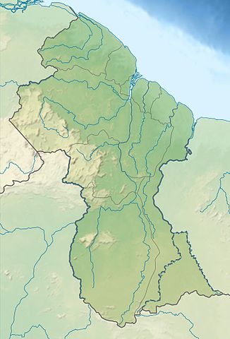
Deutsch: Positionskarte von Guyana Quadratische Plattkarte. Geographische Begrenzung der Karte:
English: Location map of Guyana Equirectangular projection. Geographic limits of the map:
|
| Datum | (UTC) |
| Boarne |
This file was derived from: |
| Auteur |
|
Lisinsje
This file is licensed under the Creative Commons Attribution-Share Alike 3.0 Unported license.
- Fiel jo frij:
- te dielen – it wurk te kopiearjen, fersprieden en út te stjoeren
- te fermingen – it wurk oan te passen
- Under de neikommende betingsten:
- Nammefermelding – You must give appropriate credit, provide a link to the license, and indicate if changes were made. You may do so in any reasonable manner, but not in any way that suggests the licensor endorses you or your use.
- Lyk diele – If you remix, transform, or build upon the material, you must distribute your contributions under the same or compatible license as the original.
Original upload log
This image is a derivative work of the following images:
- File:Guiana_shield_map-fr.svg licensed with Cc-by-sa-3.0,2.5,2.0,1.0, GFDL
- File:Guyana_location_map.svg licensed with Cc-by-sa-3.0, GFDL
Uploaded with derivativeFX
Triemskiednis
Klik op in datum/tiid om it bestân te besjen sa't it op dat stuit wie.
| Datum/Tiid | Miniatuer | ôfmjittings | Meidogger | Opmerking | |
|---|---|---|---|---|---|
| lêste | 29 jul 2013, 03.48 | | 768 × 1.130 (183 KB) | Milenioscuro | == {{int:filedesc}} == {{Information |Description={{de|Positionskarte von Guyana}} Quadratische Plattkarte. Geographische Begrenzung der Karte: * N: 8.7° N * S: 0.9° N * W: 61.6° W * O: 56.3° W {{en|Location map of [[:en:Guyana|G... |
Bestânsgebrûk
De neikommende side brûkt dit bestân:
Globaal bestânsgebrûk
De neikommende oare wiki's brûke dit bestân:
- Gebrûk op da.wikipedia.org
- Gebrûk op de.wikipedia.org
- Gebrûk op es.wikipedia.org
- Isla Hog
- Isla Leguan
- Cataratas Kaieteur
- Río Pomeroon
- Río Moroco
- Plantilla:Mapa de localización de Guyana
- Wikiproyecto:Ilustración/Taller de Cartografía/Realizaciones/América del Sur
- Cataratas Orinduik
- Río Caituma
- Sabana de Rupununi
- Cascadas de Amaila
- Monte Caburaí
- Montes Acaraí
- Faro de Georgetown
- Canal de Torani
- Bosque de Iwokrama
- Cataratas Camarán
- Gebrûk op et.wikipedia.org
- Gebrûk op fr.wikipedia.org
- Mont Roraima
- Mont Caburaí
- Modèle:Géolocalisation/Guyana
- Projet:Cartographie/Géolocalisation/Maintenance/Images des pays
- Mont Ayanganna
- Mont Kanaima
- Chutes de Kaieteur
- Parc national de Kaieteur
- Modèle:Géolocalisation/Guyana/Documentation
- Tepuy Maringma
- Tepuy Wei-Assipu
- Mont Wokomung
- Mont Paramakatoi
- Modèle:Infobox Ville du Guyana
- Modèle:Infobox Ville du Guyana/Documentation
- Utilisateur:Khan Tengri/sandbox
- Nabacalis
- Module:Carte/données/guyana
Mear globaal gebrûk fan dit bestân besjen.