
Ofbyld:Canada Newfoundland and Labrador location map.svg

Size of this PNG preview of this SVG file: 419 × 599 piksels. Oare resolúsjes: 168 × 240 piksels | 336 × 480 piksels | 537 × 768 piksels | 716 × 1.024 piksels | 1.432 × 2.048 piksels | 1.512 × 2.162 piksels.
Oarspronklik bestân (SVG-bestân, nominaal 1.512 × 2.162 pixels, bestânsgrutte: 1,15 MB)
Gearfetting
| Beskriuwing |
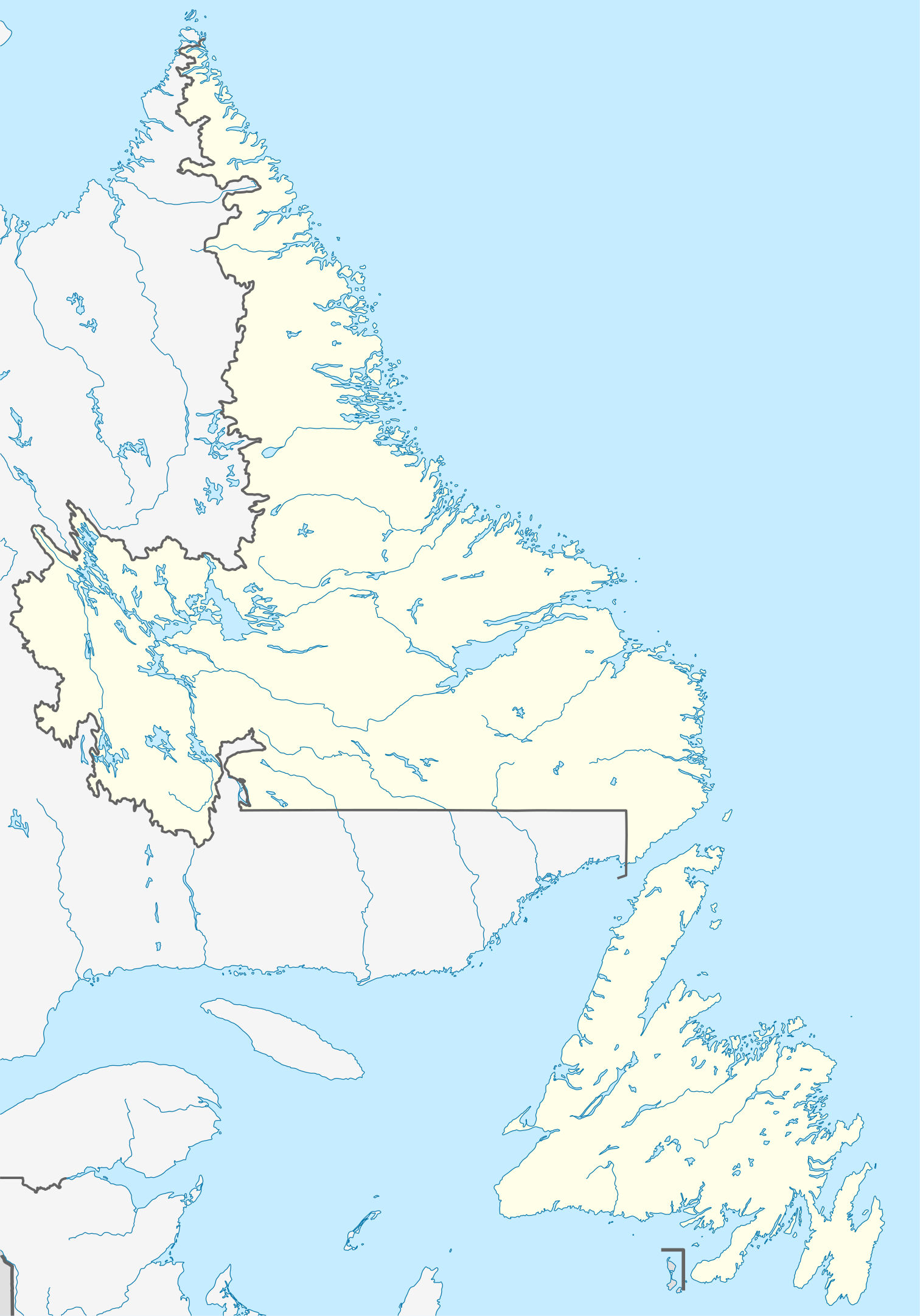
Quadratische Plattkarte, N-S-Streckung 160 %. Geographische Begrenzung der Karte:
Equirectangular projection, N/S stretching 160 %. Geographic limits of the map:
|
| Datum | |
| Boarne |
Eigen wurk, using
|
| Auteur | NordNordWest |
| Tastimming (Reusing this file) |
I, the copyright holder of this work, hereby publish it under the following license: This file is licensed under the Creative Commons Attribution-Share Alike 3.0 Unported license.
|
| Oare ferzjes |
Derivative works of this file: Labrador Region Map with Towns and Highway.svg
|


|
This map has been made or improved in the German Kartenwerkstatt (Map Lab). You can propose maps to improve as well.
|
Triemskiednis
Klik op in datum/tiid om it bestân te besjen sa't it op dat stuit wie.
| Datum/Tiid | Miniatuer | ôfmjittings | Meidogger | Opmerking | |
|---|---|---|---|---|---|
| lêste | 28 aug 2009, 16.38 | | 1.512 × 2.162 (1,15 MB) | NordNordWest | {{int:filedesc}} {{Information |Description= {{de|Positionskarte von Neufundland und Labrador, Kanada}} Quadratische Plattkarte, N-S-Streckung 160 %. Geographische Begrenzung der Karte: * N: 60.8° N * S: 46 |
Bestânsgebrûk
Der binne gjin siden dy't dit bestân brûke.
Globaal bestânsgebrûk
De neikommende oare wiki's brûke dit bestân:
- Gebrûk op af.wikipedia.org
- Gebrûk op ar.wikipedia.org
- Gebrûk op ba.wikipedia.org
- Gebrûk op ce.wikipedia.org
- Gebrûk op cs.wikipedia.org
- Gebrûk op de.wikipedia.org
- St. John’s (Neufundland)
- Gros-Morne-Nationalpark
- Dildo (Neufundland)
- Gander
- Wasserkraftwerk Churchill Falls
- Channel-Port aux Basques
- Peterview
- Grand Falls-Windsor
- Badger (Neufundland und Labrador)
- Labrador City
- Happy Valley-Goose Bay
- L’Anse-au-Clair
- Red Bay (Neufundland und Labrador)
- Gander International Airport
- Mount Pearl
- Corner Brook
- Deer Lake (Neufundland)
- Stephenville (Neufundland)
- Twillingate
- Conception Bay South
- St. Anthony (Neufundland)
- L’Anse-Amour
- Arnold’s Cove
- North River (Town, Neufundland)
- Wikipedia:Kartenwerkstatt/Positionskarten/Nordamerika
- Ferryland
- Vorlage:Positionskarte Kanada Neufundland und Labrador
- Cape St. Mary’s
- Benutzer:Zuviele Interessen/Hvítramannaland
- Cape Race Lighthouse
- Come By Chance (Neufundland und Labrador)
- Point of Bay
- Mary Brown’s Centre
- Wabush
- Stephenville International Airport
- Admirals Beach
- Harbour Grace
- Point Rosee
- Sop’s Arm
- Vorlage:Positionskarte Kanada Neufundland
- Point Amour Lighthouse
- World U-17 Hockey Challenge 2004
- Placentia (Neufundland und Labrador)
Mear globaal gebrûk fan dit bestân besjen.