
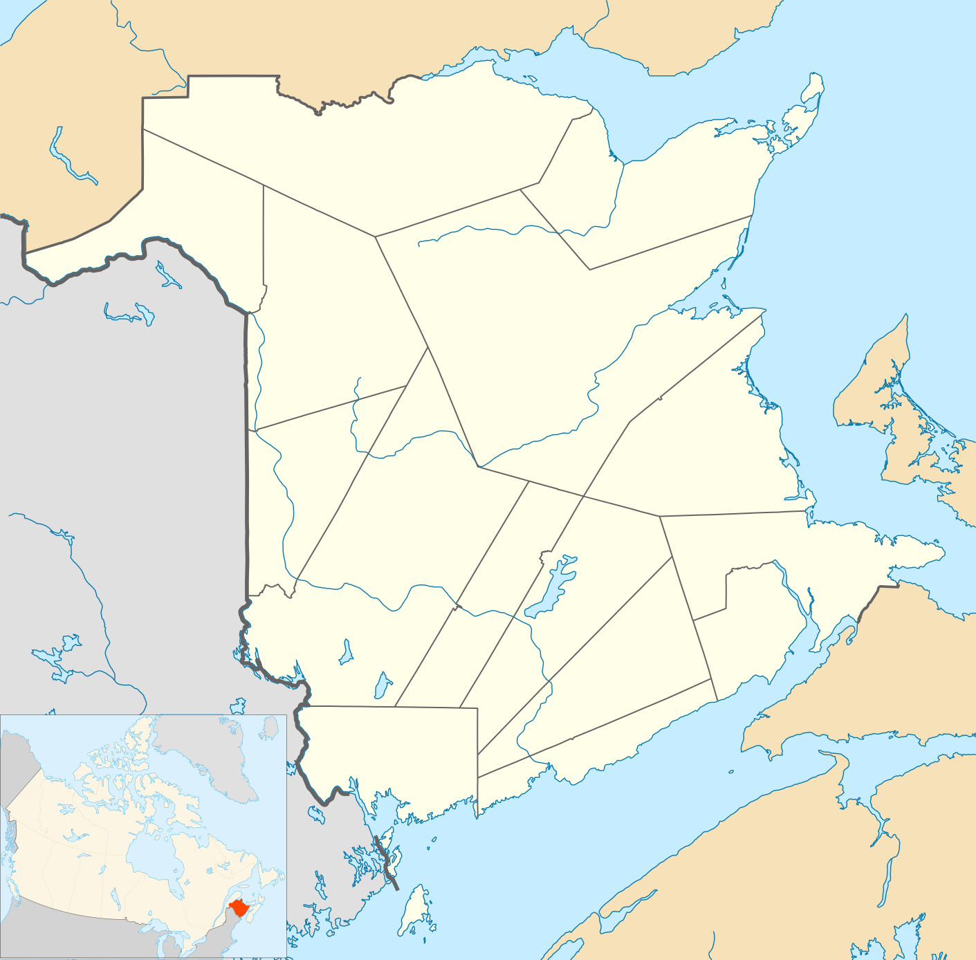
Ofbyld:Canada New Brunswick location map 2.svg

Size of this PNG preview of this SVG file: 609 × 599 piksels. Oare resolúsjes: 244 × 240 piksels | 488 × 480 piksels | 781 × 768 piksels | 1.041 × 1.024 piksels | 2.082 × 2.048 piksels | 1.411 × 1.388 piksels.
Oarspronklik bestân (SVG-bestân, nominaal 1.411 × 1.388 pixels, bestânsgrutte: 453 KB)
| Beskriuwing |
Quadratische Plattkarte, N-S-Streckung 145 %. Geographische Begrenzung der Karte:
Equirectangular projection, N/S stretching 145 %. Geographic limits of the map:
|
| Datum | |
| Boarne | Eigen wurk, File:Canada_New_Brunswick_location_map.svg |
| Auteur | Hanhil (talk) 18:36, 24 September 2009 (UTC) based on work by NordNordWest |
| Tastimming (Reusing this file) |
I, the copyright holder of this work, hereby publish it under the following license: This file is licensed under the Creative Commons Attribution-Share Alike 3.0 Unported license.
|
Triemskiednis
Klik op in datum/tiid om it bestân te besjen sa't it op dat stuit wie.
| Datum/Tiid | Miniatuer | ôfmjittings | Meidogger | Opmerking | |
|---|---|---|---|---|---|
| lêste | 11 jul 2010, 18.29 | | 1.411 × 1.388 (453 KB) | Malus Catulus | Convention colors |
| 24 sep 2009, 20.39 |  | 1.411 × 1.388 (583 KB) | Hanhil | Position within Canada | |
| 24 sep 2009, 20.38 |  | 1.411 × 1.388 (583 KB) | Hanhil | Position within Canada | |
| 24 sep 2009, 20.36 |  | 1.411 × 1.388 (583 KB) | Hanhil | {{Information |Description= {{de|Positionskarte von New Brunswick, Kanada}} Quadratische Plattkarte, N-S-Streckung 145 %. Geographische Begrenzung der Karte: * N: 48.3° N * S: 44.5° N * W: 69.2° W * O: 63.6° W {{en |
Bestânsgebrûk
De neikommende side brûkt dit bestân:
Globaal bestânsgebrûk
De neikommende oare wiki's brûke dit bestân:
- Gebrûk op af.wikipedia.org
- Gebrûk op azb.wikipedia.org
- Gebrûk op ba.wikipedia.org
- Gebrûk op bg.wikipedia.org
- Gebrûk op da.wikipedia.org
- Gebrûk op en.wikipedia.org
- Fredericton
- Moncton
- Saint John, New Brunswick
- Miramichi, New Brunswick
- Edmundston
- Dieppe, New Brunswick
- Bathurst, New Brunswick
- Campbellton, New Brunswick
- Greater Moncton Roméo LeBlanc International Airport
- Grand Manan
- Hartland, New Brunswick
- Florenceville-Bristol
- Fundy National Park
- Kouchibouguac National Park
- St. Stephen, New Brunswick
- Sackville, New Brunswick
- Campobello Island
- Centreville, New Brunswick
- Nackawic
- Woodstock, New Brunswick
- Grande-Digue, New Brunswick
- Shediac
- Gagetown, New Brunswick
- Perth-Andover
- Saint Andrews, New Brunswick
- Elsipogtog First Nation
- Baker-Brook, New Brunswick
- Memramcook
- Grand Falls, New Brunswick
- Mount Carleton
- Dorchester, New Brunswick
- Sussex, New Brunswick
- Tracadie-Sheila
- Apohaqui, New Brunswick
- Pocologan, New Brunswick
- Salisbury, New Brunswick
- Riverview, New Brunswick
Mear globaal gebrûk fan dit bestân besjen.