
Ofbyld:Africa topography map with borders.png
Grutte fan dit proefbyld: 605 × 600 piksels. Oare resolúsjes: 242 × 240 piksels | 484 × 480 piksels | 775 × 768 piksels | 1.033 × 1.024 piksels | 2.067 × 2.048 piksels | 2.663 × 2.639 piksels.
Oarspronklik bestân (2.663 × 2.639 pixels, bestânsgrutte: 4,07 MB, MIME-type: image/png)
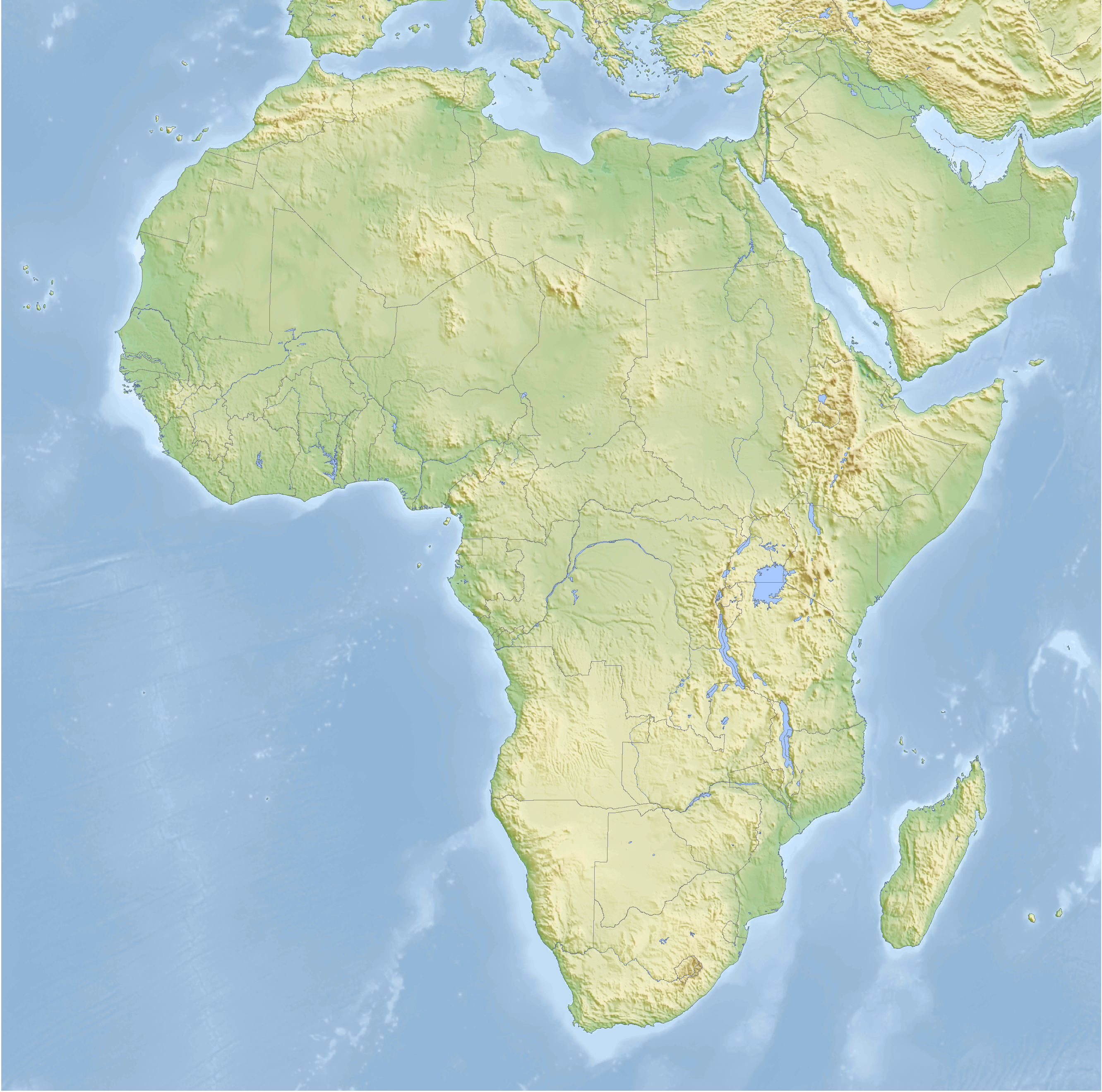
| Beskriuwing | Topographic map of Africa with political boundaries, Cassini cylindrical projection |
| Datum | |
| Boarne | self-made, using GMT |
| Auteur | Bamse |
| Oare ferzjes | without borders |
The map has been created with the Generic Mapping Tools: https://www.generic-mapping-tools.org/ using one or more of these public-domain datasets for the relief:
|

|
Der wurdt tastimming jûn ta kopiearjen, fersprieden en/of wizigjen fan dit dokumint ûnder de betinksten fan de GNU-lisinsje foar iepen dokumintaasje, ferzje 1.2, as eltse lettere ferzje útjûn troch de Free Software Foundation; sûnder Ynfariante Seksjes, sûnder Omkaftteksten foar de Foarkante en sûnder Omkaftteksten foar de Efterkante. In kopy fan de lisinsje is opnaam yn de seksje "Text of the GNU Free Documentation License". |
| This file is licensed under the Creative Commons Attribution-Share Alike 3.0 Unported license. | ||
| ||
| This licensing tag was added to this file as part of the GFDL licensing update. |

|
This map has been made or improved in the German Kartenwerkstatt (Map Lab). You can propose maps to improve as well.
|
Triemskiednis
Klik op in datum/tiid om it bestân te besjen sa't it op dat stuit wie.
| Datum/Tiid | Miniatuer | ôfmjittings | Meidogger | Opmerking | |
|---|---|---|---|---|---|
| lêste | 25 feb 2008, 08.52 | | 2.663 × 2.639 (4,07 MB) | Bamse | |
| 25 feb 2008, 08.49 |  | 3.196 × 3.167 (5,04 MB) | Bamse | ||
| 19 feb 2008, 04.17 |  | 2.664 × 2.639 (4,11 MB) | Bamse | {{Information |Description=Topographic map of Africa with political boundaries, Cassini cylindrical projection |Source=self-made, using GMT |Date=19-02-2008 |Author= Bamse |Permission= |other_versions=[[:Image:Africa topography map.png|with |
Bestânsgebrûk
Der binne gjin siden dy't dit bestân brûke.
Globaal bestânsgebrûk
De neikommende oare wiki's brûke dit bestân:
- Gebrûk op ar.wikipedia.org
- Gebrûk op azb.wikipedia.org
- Gebrûk op de.wikipedia.org
- Gebrûk op es.wikipedia.org
- Gebrûk op pt.wikipedia.org