
Ofbyld:Relief map of USA Michigan.png
Grutte fan dit proefbyld: 533 × 600 piksels. Oare resolúsjes: 213 × 240 piksels | 426 × 480 piksels | 682 × 768 piksels | 1.066 × 1.200 piksels.
Oarspronklik bestân (1.066 × 1.200 pixels, bestânsgrutte: 1.000 KB, MIME-type: image/png)
Gearfetting
| Beskriuwing |
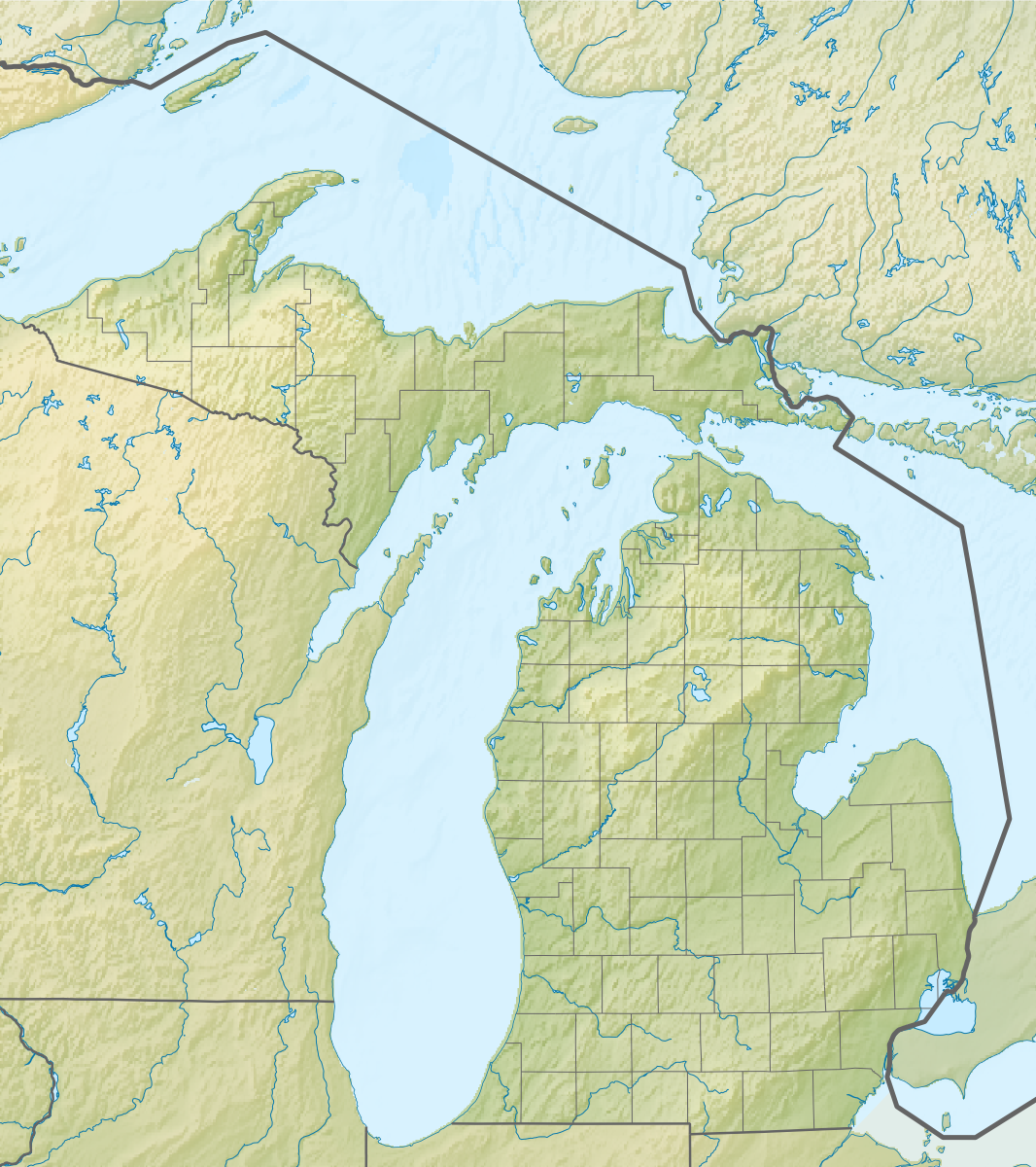
Русский: Физическая карта штата Мичиган (США).
Equirectangular projection, N/S stretching 140.0 %. Geographic limits of the map:
|
| Datum | |
| Boarne |
|
| Auteur | Nzeemin |
| Oare ferzjes |
|

Lisinsje
I, the copyright holder of this work, hereby publish it under the following license:
This file is licensed under the Creative Commons Attribution-Share Alike 3.0 Unported license.
- Fiel jo frij:
- te dielen – it wurk te kopiearjen, fersprieden en út te stjoeren
- te fermingen – it wurk oan te passen
- Under de neikommende betingsten:
- Nammefermelding – You must give appropriate credit, provide a link to the license, and indicate if changes were made. You may do so in any reasonable manner, but not in any way that suggests the licensor endorses you or your use.
- Lyk diele – If you remix, transform, or build upon the material, you must distribute your contributions under the same or compatible license as the original.
Triemskiednis
Klik op in datum/tiid om it bestân te besjen sa't it op dat stuit wie.
| Datum/Tiid | Miniatuer | ôfmjittings | Meidogger | Opmerking | |
|---|---|---|---|---|---|
| lêste | 22 nov 2012, 11.42 | | 1.066 × 1.200 (1.000 KB) | Nzeemin | User created page with UploadWizard |
Bestânsgebrûk
De neikommende 6 siden brûke dit bestân:
Globaal bestânsgebrûk
De neikommende oare wiki's brûke dit bestân:
- Gebrûk op ar.wikipedia.org
- Gebrûk op az.wikipedia.org
- Gebrûk op ba.wikipedia.org
- Gebrûk op bn.wikipedia.org
- Gebrûk op ca.wikipedia.org
- Gebrûk op ceb.wikipedia.org
- Gebrûk op ce.wikipedia.org
- Gebrûk op cs.wikipedia.org
- Gebrûk op de.wikipedia.org
- Michigansee
- WEYI-Sendemast
- Isle Royale
- Old Mission Peninsula
- Belle Isle (Detroit)
- Belle Isle (Isle Royale National Park)
- Mackinac Island
- Vorlage:Positionskarte USA Michigan
- Indian Lake State Park (Michigan)
- Alexander Lake (Michigan)
- Warren Dunes State Park
- Hubbard Lake (Michigan)
- Grassy Island (Michigan)
- Beaver Island (Charlevoix County, Michigan)
- Pumpspeicherkraftwerk Ludington
- Round Island (Mackinac County)
- Mount Arvon
- Pogy Lake
- Stony Island (Wayne County, Michigan)
- Drummond Island
- WGRT
- Bois Blanc Island (Huronsee)
- WILS
- North Manitou Island
- South Manitou Island
- WCMU-FM
- Grand Island (Alger County, Michigan)
- Suttons Bay (Bucht)
- Otsego Lake (Michigan)
- Gebrûk op de.wikivoyage.org
- Gebrûk op el.wikipedia.org
- Gebrûk op en.wikipedia.org
Mear globaal gebrûk fan dit bestân besjen.