
Ofbyld:Wilhelminalaan 51 pastorie Wilhelminaoord.jpg
Grutte fan dit proefbyld: 800 × 600 piksels. Oare resolúsjes: 320 × 240 piksels | 640 × 480 piksels | 1.024 × 768 piksels | 1.280 × 960 piksels | 1.824 × 1.368 piksels.
Oarspronklik bestân (1.824 × 1.368 pixels, bestânsgrutte: 838 KB, MIME-type: image/jpeg)
|
This is an image of rijksmonument number 37496 Information from structured data: |
Gearfetting
| Beskriuwing |
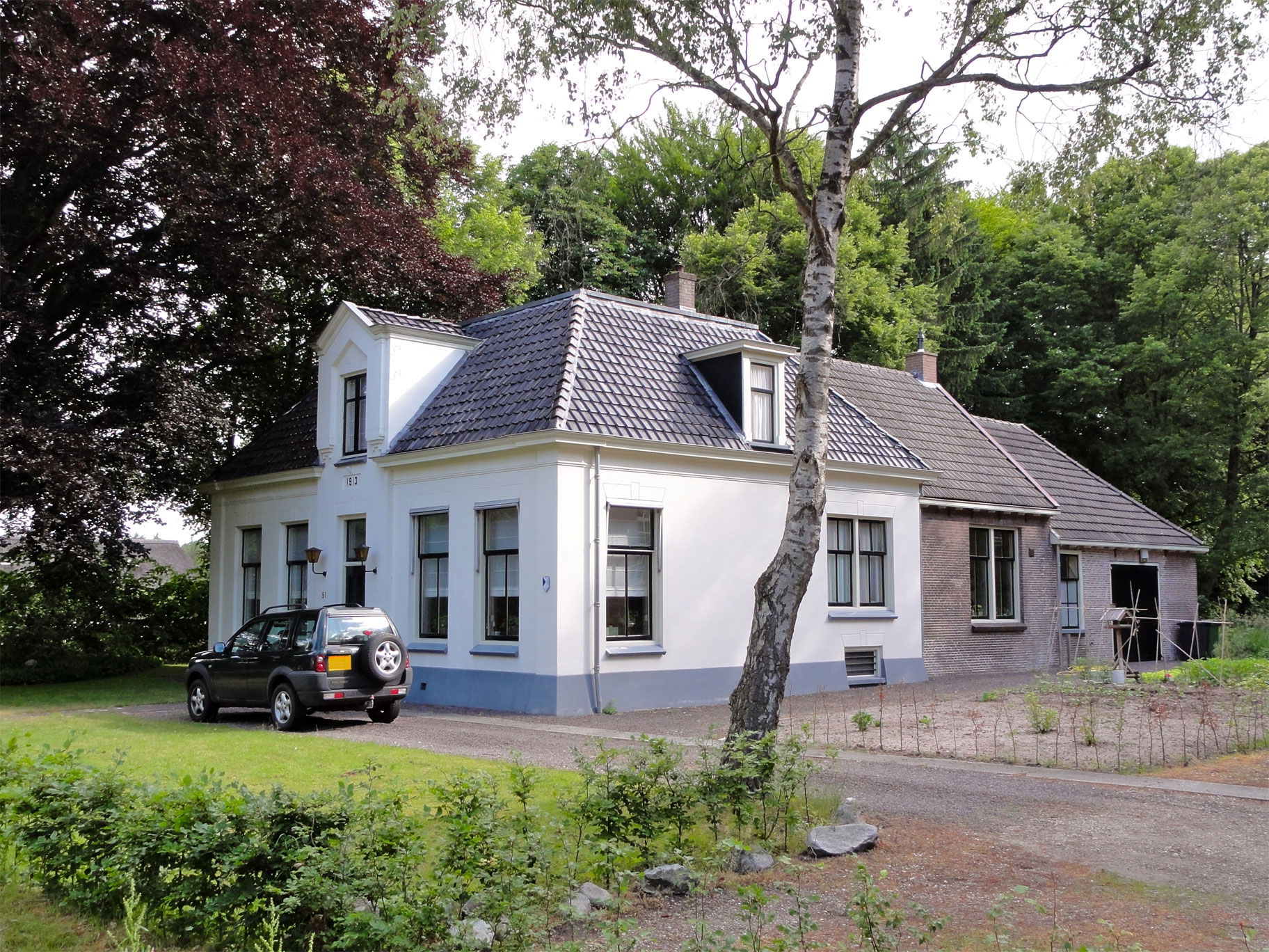
Nederlands: Voormalige hervormde pastorie - Maatschappij van Weldadigheid - Koningin Wilhelminalaan 51 Wilhelminaoord - rijksmonument |
| Datum | |
| Boarne | Eigen wurk |
| Auteur | Gouwenaar |
| Object location | | View this and other nearby images on: OpenStreetMap |
|---|
Lisinsje
| I, the copyright holder of this work, release this work into the public domain. This applies worldwide. In some countries this may not be legally possible; if so: I grant anyone the right to use this work for any purpose, without any conditions, unless such conditions are required by law. |
Triemskiednis
Klik op in datum/tiid om it bestân te besjen sa't it op dat stuit wie.
| Datum/Tiid | Miniatuer | ôfmjittings | Meidogger | Opmerking | |
|---|---|---|---|---|---|
| lêste | 16 jun 2010, 12.18 | | 1.824 × 1.368 (838 KB) | Gouwenaar | {{Information |Description={{nl|Voormalige hervormde pastorie - Maatschappij van Weldadigheid - Koningin Wilhelminalaan 51 Wilhelminaoord - rijksmonument}} |Source={{own}} |Date= 2010-06-15 |Author= Gouwenaar |Permission= |other_version |
Bestânsgebrûk
De neikommende side brûkt dit bestân:
Globaal bestânsgebrûk
De neikommende oare wiki's brûke dit bestân:
- Gebrûk op li.wikipedia.org
- Gebrûk op nl.wikipedia.org
- Gebrûk op www.wikidata.org