
Ofbyld:USA North Carolina relief location map.jpg

Grutte fan dit proefbyld: 800 × 485 piksels. Oare resolúsjes: 320 × 194 piksels | 640 × 388 piksels | 1.024 × 621 piksels | 1.280 × 776 piksels | 1.774 × 1.076 piksels.
Oarspronklik bestân (1.774 × 1.076 pixels, bestânsgrutte: 696 KB, MIME-type: image/jpeg)
Gearfetting
| Beskriuwing |
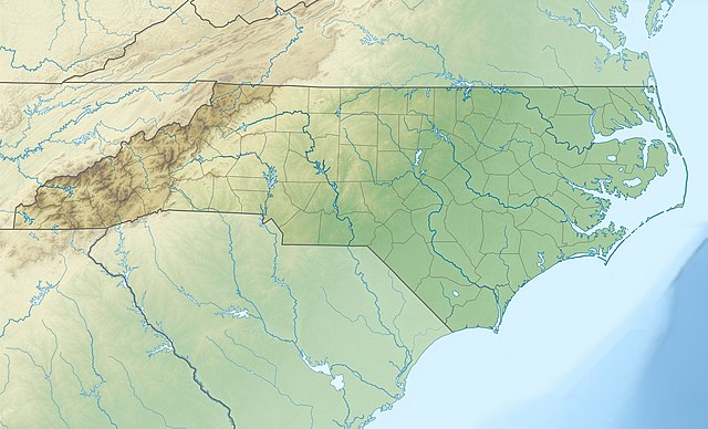
Quadratische Plattkarte, N-S-Streckung 120.0 %. Geographische Begrenzung der Karte:
Equirectangular projection, N/S stretching 120.0 %. Geographic limits of the map:
|
||
| Datum | |||
| Boarne |
Eigen wurk
|
||
| Auteur | Alexrk2 | ||
| Oare ferzjes |
|


|
This map has been made or improved in the German Kartenwerkstatt (Map Lab). You can propose maps to improve as well.
|
Lisinsje
I, the copyright holder of this work, hereby publish it under the following licenses:

|
Der wurdt tastimming jûn ta kopiearjen, fersprieden en/of wizigjen fan dit dokumint ûnder de betinksten fan de GNU-lisinsje foar iepen dokumintaasje, ferzje 1.2, as eltse lettere ferzje útjûn troch de Free Software Foundation; sûnder Ynfariante Seksjes, sûnder Omkaftteksten foar de Foarkante en sûnder Omkaftteksten foar de Efterkante. In kopy fan de lisinsje is opnaam yn de seksje "Text of the GNU Free Documentation License". |
This file is licensed under the Creative Commons Attribution 3.0 Unported license.
- Fiel jo frij:
- te dielen – it wurk te kopiearjen, fersprieden en út te stjoeren
- te fermingen – it wurk oan te passen
- Under de neikommende betingsten:
- Nammefermelding – You must give appropriate credit, provide a link to the license, and indicate if changes were made. You may do so in any reasonable manner, but not in any way that suggests the licensor endorses you or your use.
You may select the license of your choice.
Triemskiednis
Klik op in datum/tiid om it bestân te besjen sa't it op dat stuit wie.
| Datum/Tiid | Miniatuer | ôfmjittings | Meidogger | Opmerking | |
|---|---|---|---|---|---|
| lêste | 25 apr 2010, 14.04 | | 1.774 × 1.076 (696 KB) | Alexrk2 | == {{int:filedesc}} == {{Information |Description= {{de|Physische Positionskarte von North Carolina, USA}} Quadratische Plattkarte, N-S-Streckung 120.0 %. Geographische Begrenzung der Karte: * N: 37.5° N * S: 32.8° N * |
Bestânsgebrûk
De neikommende side brûkt dit bestân:
Globaal bestânsgebrûk
De neikommende oare wiki's brûke dit bestân:
- Gebrûk op ar.wikipedia.org
- Gebrûk op ast.wikipedia.org
- Gebrûk op az.wikipedia.org
- Gebrûk op be-tarask.wikipedia.org
- Gebrûk op bg.wikipedia.org
- Gebrûk op bn.wikipedia.org
- Gebrûk op ca.wikipedia.org
- Gebrûk op ceb.wikipedia.org
- Gebrûk op ce.wikipedia.org
- Gebrûk op cs.wikipedia.org
- Gebrûk op da.wikipedia.org
- Gebrûk op de.wikipedia.org
- Mount Mitchell
- WRAL-Sendemast
- WITN-Tower
- WTVD-Sendemast
- WNCN-Sendemast
- Pilot Mountain State Park
- Mount Guyot (North Carolina)
- Roanoke Island
- Outer Banks
- Vorlage:Positionskarte USA North Carolina
- Grandfather Mountain
- Pamlico Sound
- High Rock Lake
- Lake Norman
- Lake Norman State Park
- King’s Pinnacle
- Wikipedia:Kartenwerkstatt/Positionskarten/Nordamerika
- Harris Lake (New Hill, North Carolina)
- Wikipedia:Kartenwerkstatt/Archiv/2010-04
Mear globaal gebrûk fan dit bestân besjen.