
Ofbyld:Celtic Sea and Bay of Biscay bathymetric map-en.svg

Size of this PNG preview of this SVG file: 548 × 599 piksels. Oare resolúsjes: 219 × 240 piksels | 439 × 480 piksels | 702 × 768 piksels | 936 × 1.024 piksels | 1.872 × 2.048 piksels | 3.479 × 3.805 piksels.
Oarspronklik bestân (SVG-bestân, nominaal 3.479 × 3.805 pixels, bestânsgrutte: 4,93 MB)
Gearfetting
| Beskriuwing |
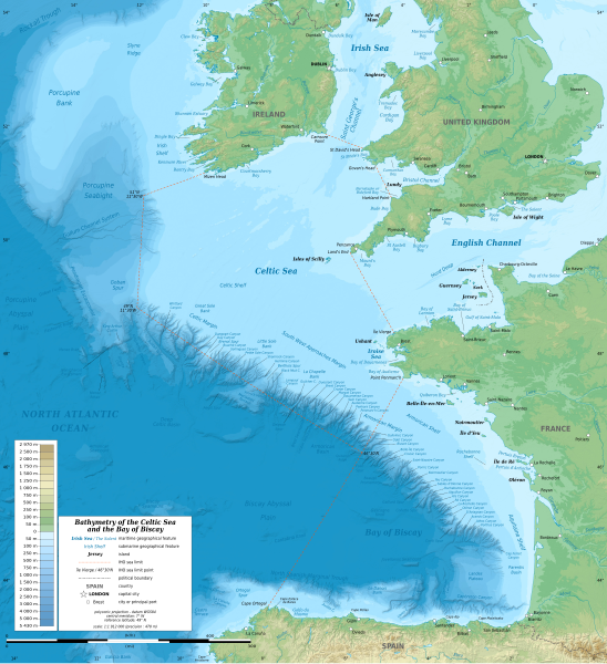
English: Bathymetric map in English of the Celtic Sea and the Bay of Biscay. Limits of the seas as specified by the International Hydrographic Organization.
Note: the background map is a raster image embedded in the SVG file. Français : Carte bathymétrique en anglais de la Mer Celtique et du Golfe de Gascogne. Limites des mers telles que définies par l'Organisation Hydrographique Internationale. Note : le fond de carte est une image bitmap embarquée dans le fichier SVG. |
| Datum | 13:37:01, upgraded 2019-10 |
| Boarne | see Celtic Sea and Bay of Biscay bathymetric map-fr.svg |
| Auteur | Eric Gaba (Sting - fr:Sting) |
| Oare ferzjes |
[]
|
| SVG genesis |


| Camera location | | View this and other nearby images on: OpenStreetMap |
|---|
Lisinsje
This file is licensed under the Creative Commons Attribution-Share Alike 3.0 Unported license.
- Fiel jo frij:
- te dielen – it wurk te kopiearjen, fersprieden en út te stjoeren
- te fermingen – it wurk oan te passen
- Under de neikommende betingsten:
- Nammefermelding – You must give appropriate credit, provide a link to the license, and indicate if changes were made. You may do so in any reasonable manner, but not in any way that suggests the licensor endorses you or your use.
- Lyk diele – If you remix, transform, or build upon the material, you must distribute your contributions under the same or compatible license as the original.
Triemskiednis
Klik op in datum/tiid om it bestân te besjen sa't it op dat stuit wie.
| Datum/Tiid | Miniatuer | ôfmjittings | Meidogger | Opmerking | |
|---|---|---|---|---|---|
| lêste | 28 okt 2019, 23.33 | | 3.479 × 3.805 (4,93 MB) | Sting | New map using GEBCO 15 Sec topographic data ; rivers from ECRINS ; added names |
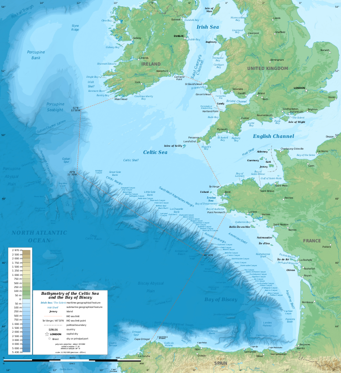
| 3 jul 2014, 16.34 |  | 1.749 × 1.913 (673 KB) | Erigena | minor tweaks | |
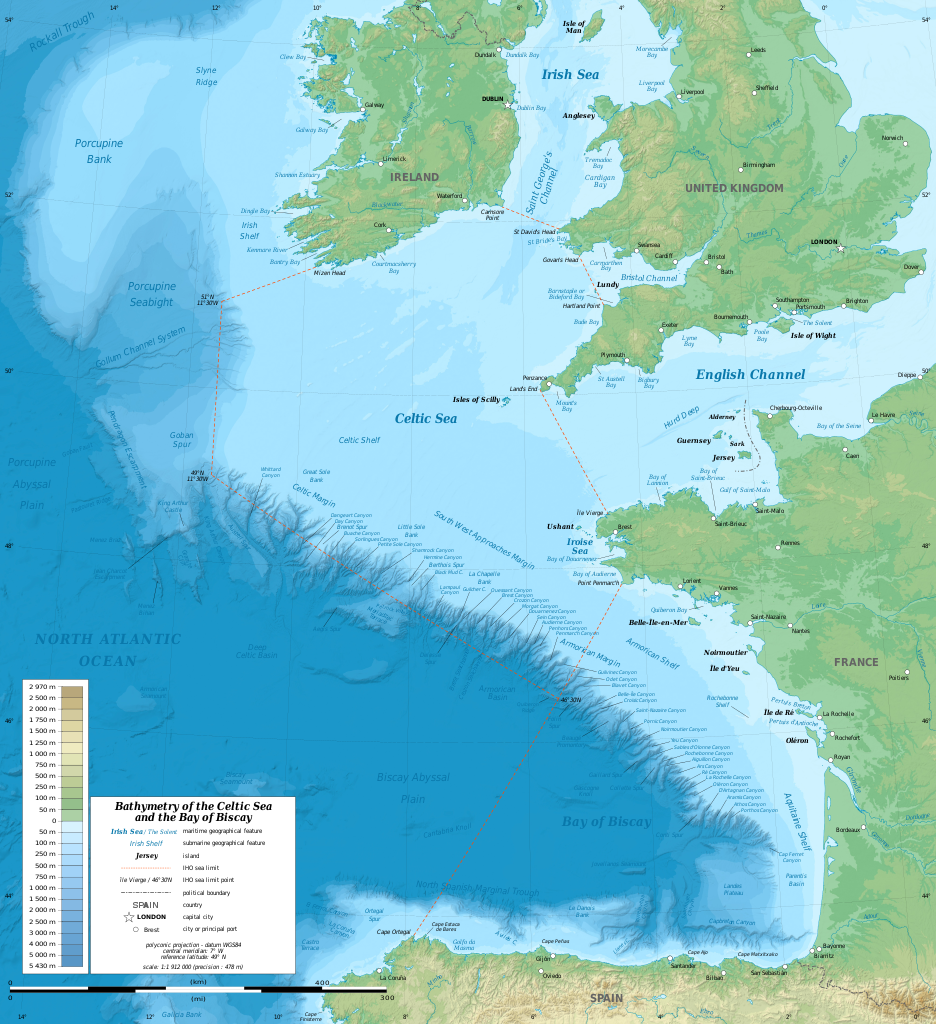
| 1 jul 2014, 14.46 |  | 1.749 × 1.913 (614 KB) | Erigena | User created page with UploadWizard |
Bestânsgebrûk
De neikommende side brûkt dit bestân:
Globaal bestânsgebrûk
De neikommende oare wiki's brûke dit bestân:
- Gebrûk op af.wikipedia.org
- Gebrûk op azb.wikipedia.org
- Gebrûk op bg.wikipedia.org
- Gebrûk op bh.wikipedia.org
- Gebrûk op bn.wikipedia.org
- Gebrûk op cs.wikipedia.org
- Gebrûk op de.wikipedia.org
- Gebrûk op en.wikipedia.org
- Gebrûk op en.wikiversity.org
- Gebrûk op fa.wikipedia.org
- Gebrûk op fi.wikipedia.org
- Gebrûk op frr.wikipedia.org
- Gebrûk op gl.wikipedia.org
- Gebrûk op hu.wikipedia.org
- Gebrûk op hy.wikipedia.org
- Gebrûk op hyw.wikipedia.org
- Gebrûk op id.wikipedia.org
- Gebrûk op ja.wikipedia.org
- Gebrûk op lo.wikipedia.org
- Gebrûk op lv.wikipedia.org
- Gebrûk op nl.wikipedia.org
- Gebrûk op ru.wikipedia.org
- Gebrûk op sq.wikipedia.org
- Gebrûk op sr.wikipedia.org
- Gebrûk op sv.wikipedia.org
- Gebrûk op tg.wikipedia.org
- Gebrûk op th.wikipedia.org
- Gebrûk op tr.wikipedia.org
- Gebrûk op uk.wikipedia.org
- Gebrûk op vi.wikipedia.org
- Gebrûk op vls.wikipedia.org
- Gebrûk op www.wikidata.org
- Gebrûk op zh-min-nan.wikipedia.org
- Gebrûk op zh-yue.wikipedia.org
- Gebrûk op zh.wikipedia.org