
Ofbyld:Wasco County aerial.JPG
Gjin hegere resolúsje beskikber.
Wasco_County_aerial.JPG (640 × 550 pixels, bestânsgrutte: 96 KB, MIME-type: image/jpeg)
Gearfetting
| Beskriuwing |
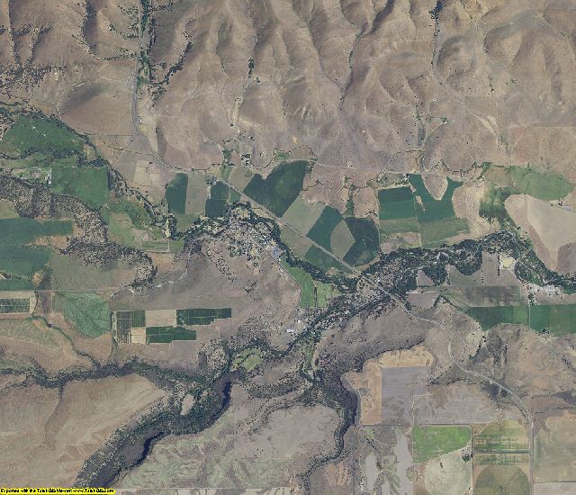
English: An aerial view of Wasco County, Oregon. |
| Datum | |
| Boarne | http://www.landsat.com/wasco-county-oregon-aerial-photography-2009.html |
| Auteur | USGS |
| Oare ferzjes | Somewhere within the USGS website |
Lisinsje
This image is in the public domain in the United States because it only contains materials that originally came from the United States Geological Survey, an agency of the United States Department of the Interior. For more information, see the official USGS copyright policy.
|
Triemskiednis
Klik op in datum/tiid om it bestân te besjen sa't it op dat stuit wie.
| Datum/Tiid | Miniatuer | ôfmjittings | Meidogger | Opmerking | |
|---|---|---|---|---|---|
| lêste | 27 des 2010, 23.35 | | 640 × 550 (96 KB) | Jsayre64 | {{Information |Description={{en|1=An aerial view of Wasco County, Oregon.}} |Source=http://www.landsat.com/wasco-county-oregon-aerial-photography-2009.html |Author=USGS |Date=2009 |Permission= |other_versions=Somewhere within the USGS website }} [[Catego |
Bestânsgebrûk
De neikommende side brûkt dit bestân:
Globaal bestânsgebrûk
De neikommende oare wiki's brûke dit bestân:
- Gebrûk op en.wikipedia.org