
Ofbyld:South Korea location map.svg

Size of this PNG preview of this SVG file: 635 × 599 piksels. Oare resolúsjes: 254 × 240 piksels | 509 × 480 piksels | 814 × 768 piksels | 1.085 × 1.024 piksels | 2.171 × 2.048 piksels | 1.772 × 1.672 piksels.
Oarspronklik bestân (SVG-bestân, nominaal 1.772 × 1.672 pixels, bestânsgrutte: 376 KB)
Gearfetting
| Beskriuwing |
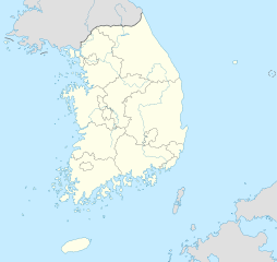
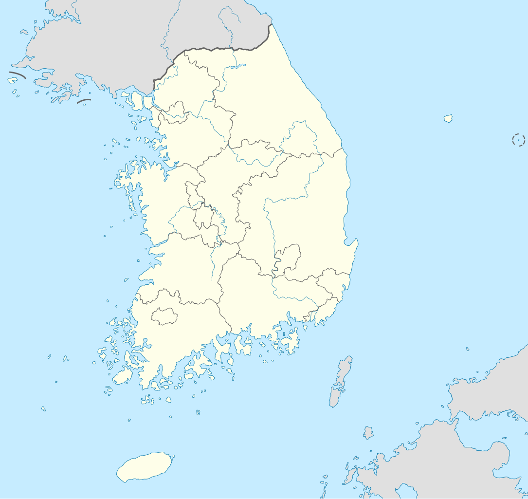
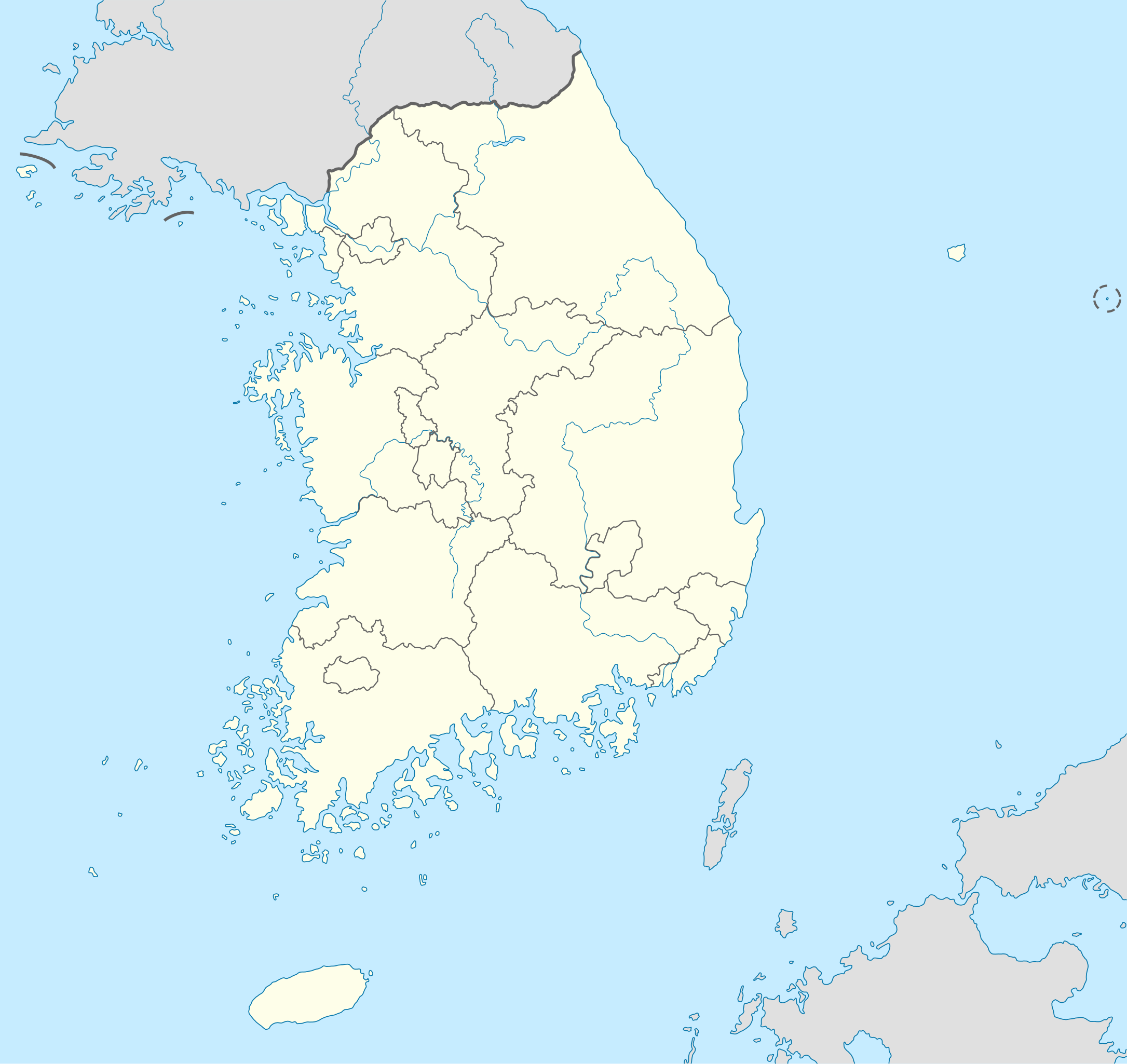
Deutsch: Positionskarte von Südkorea
Quadratische Plattkarte, N-S-Streckung 120 %. Geographische Begrenzung der Karte:
English: Location map of South Korea
Equirectangular projection, N/S stretching 120 %. Geographic limits of the map:
|
||
| Datum | |||
| Boarne |
own work, using
|
||
| Auteur | NordNordWest | ||
| Oare ferzjes |
Derivative works of this file: |
||
| SVG genesis | This locator map was created with Adobe Illustrator.
|

Lisinsje
I, the copyright holder of this work, hereby publish it under the following licenses:

|
Der wurdt tastimming jûn ta kopiearjen, fersprieden en/of wizigjen fan dit dokumint ûnder de betinksten fan de GNU-lisinsje foar iepen dokumintaasje, ferzje 1.2, as eltse lettere ferzje útjûn troch de Free Software Foundation; sûnder Ynfariante Seksjes, sûnder Omkaftteksten foar de Foarkante en sûnder Omkaftteksten foar de Efterkante. In kopy fan de lisinsje is opnaam yn de seksje "Text of the GNU Free Documentation License". |
This file is licensed under the Creative Commons Attribution-Share Alike 3.0 Unported license.
- Fiel jo frij:
- te dielen – it wurk te kopiearjen, fersprieden en út te stjoeren
- te fermingen – it wurk oan te passen
- Under de neikommende betingsten:
- Nammefermelding – You must give appropriate credit, provide a link to the license, and indicate if changes were made. You may do so in any reasonable manner, but not in any way that suggests the licensor endorses you or your use.
- Lyk diele – If you remix, transform, or build upon the material, you must distribute your contributions under the same or compatible license as the original.
You may select the license of your choice.
Triemskiednis
Klik op in datum/tiid om it bestân te besjen sa't it op dat stuit wie.
| Datum/Tiid | Miniatuer | ôfmjittings | Meidogger | Opmerking | |
|---|---|---|---|---|---|
| lêste | 2 jun 2012, 12.48 | | 1.772 × 1.672 (376 KB) | Geoarchive | Update Sejong Special Autonomous City |
| 24 okt 2010, 19.48 |  | 1.772 × 1.672 (377 KB) | NordNordWest | upd | |
| 2 okt 2010, 22.05 |  | 1.559 × 1.672 (349 KB) | NordNordWest | upd | |
| 26 aug 2008, 20.57 |  | 1.559 × 1.673 (502 KB) | NordNordWest | {{Information |Description= {{de|Positionskarte von Südkorea}} Quadratische Plattkarte, N-S-Streckung 120 %. Geographische Begrenzung der Karte: * N: 38.9° N * S: 33.0° N * W: 124.5° O * O: 131.1° O {{en|Location map of [[:en:South |
Bestânsgebrûk
Der binne gjin siden dy't dit bestân brûke.
Globaal bestânsgebrûk
De neikommende oare wiki's brûke dit bestân:
- Gebrûk op as.wikipedia.org
- Gebrûk op en.wikipedia.org
- Gebrûk op fr.wikipedia.org
- Gebrûk op fr.wikinews.org
- Gebrûk op incubator.wikimedia.org
- Gebrûk op ko.wikipedia.org
- Gebrûk op sv.wikipedia.org
- Gebrûk op zh.wikipedia.org