
Ofbyld:Saxony relief location map.jpg

Grutte fan dit proefbyld: 800 × 583 piksels. Oare resolúsjes: 320 × 233 piksels | 640 × 467 piksels | 1.024 × 747 piksels | 1.280 × 933 piksels | 1.838 × 1.340 piksels.
Oarspronklik bestân (1.838 × 1.340 pixels, bestânsgrutte: 901 KB, MIME-type: image/jpeg)
Gearfetting
| Beskriuwing |
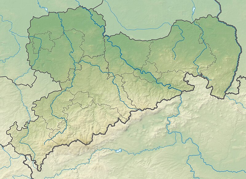
Deutsch: Physische Positionskarte Sachsen, Deutschland. Geographische Begrenzung der Karte:
English: Physical Location map Saxony, Germany. Geographic limits of the map:
|
| Datum | |
| Boarne |
Eigen wurk |
| Auteur | Grundkarte TUBS, Relief Alexrk2 |
| Oare ferzjes |
|

Lisinsje
I, the copyright holder of this work, hereby publish it under the following licenses:

|
Der wurdt tastimming jûn ta kopiearjen, fersprieden en/of wizigjen fan dit dokumint ûnder de betinksten fan de GNU-lisinsje foar iepen dokumintaasje, ferzje 1.2, as eltse lettere ferzje útjûn troch de Free Software Foundation; sûnder Ynfariante Seksjes, sûnder Omkaftteksten foar de Foarkante en sûnder Omkaftteksten foar de Efterkante. In kopy fan de lisinsje is opnaam yn de seksje "Text of the GNU Free Documentation License". |
This file is licensed under the Creative Commons Attribution-Share Alike 3.0 Unported, 2.5 Generic, 2.0 Generic and 1.0 Generic license.
- Fiel jo frij:
- te dielen – it wurk te kopiearjen, fersprieden en út te stjoeren
- te fermingen – it wurk oan te passen
- Under de neikommende betingsten:
- Nammefermelding – You must give appropriate credit, provide a link to the license, and indicate if changes were made. You may do so in any reasonable manner, but not in any way that suggests the licensor endorses you or your use.
- Lyk diele – If you remix, transform, or build upon the material, you must distribute your contributions under the same or compatible license as the original.
You may select the license of your choice.
Triemskiednis
Klik op in datum/tiid om it bestân te besjen sa't it op dat stuit wie.
| Datum/Tiid | Miniatuer | ôfmjittings | Meidogger | Opmerking | |
|---|---|---|---|---|---|
| lêste | 23 okt 2009, 22.36 | | 1.838 × 1.340 (901 KB) | Alexrk2 | == {{int:filedesc}} == {{Information |Description= {{de|Physische Positionskarte Sachsen, Deutschland. Geographische Begrenzung der Karte:}} {{en|Physical Location map Saxony, Germany. Geographic limits of the map:}} * N: |
Bestânsgebrûk
De neikommende side brûkt dit bestân:
Globaal bestânsgebrûk
De neikommende oare wiki's brûke dit bestân:
- Gebrûk op ar.wikipedia.org
- Gebrûk op az.wikipedia.org
- Gebrûk op ba.wikipedia.org
- Gebrûk op be.wikipedia.org
- Gebrûk op bg.wikipedia.org
- Лайпциг
- Дрезден
- Кемниц
- Цвикау
- Шлайфе
- Бауцен
- Гросботен
- Росвайн
- Валдхайм
- Делич
- Митвайда
- Ратен
- Гьорлиц
- Майсен
- Плауен
- Шаблон:ПК Германия Саксония
- Клингентал
- Лайпцигски университет
- Бад Мускау
- Бернщат на Айген
- Еберсбах-Нойгерсдорф
- Хернхут
- Льобау
- Нойзалца-Шпремберг
- Ниски
- Остриц
- Райхенбах (Горна Лужица)
- Ротенбург (Горна Лужица)
- Зайфхенерсдорф
- Вайсвасер
- Цитау
- Бернсдорф (окръг Бауцен)
- Бишофсверда
- Елстра
- Каменц
- Гросрьорсдорф
- Хойерсверда
- Кьонигсбрюк
- Лаута
- Пулшниц
- Радеберг
- Ширгисвалде-Киршау
- Вайсенберг
- Вилтен
- Витихенау
Mear globaal gebrûk fan dit bestân besjen.