
Ofbyld:Norway Counties Buskerud Position.svg

Size of this PNG preview of this SVG file: 562 × 600 piksels. Oare resolúsjes: 225 × 240 piksels | 450 × 480 piksels | 719 × 768 piksels | 959 × 1.024 piksels | 1.918 × 2.048 piksels | 740 × 790 piksels.
Oarspronklik bestân (SVG-bestân, nominaal 740 × 790 pixels, bestânsgrutte: 54 KB)
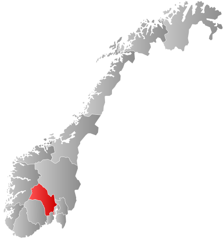
| Beskriuwing | Autogenerated locator map of norwegian county as named in filename. |
| Datum | |
| Boarne | Based on Image:Norway counties blank.svg |
| Auteur | Marmelad |
| Tastimming (Reusing this file) |
Own work, share alike, attribution required (Creative Commons CC-BY-SA-2.5) |
I, the copyright holder of this work, hereby publish it under the following license:
This file is licensed under the Creative Commons Attribution-Share Alike 2.5 Generic license.
- Fiel jo frij:
- te dielen – it wurk te kopiearjen, fersprieden en út te stjoeren
- te fermingen – it wurk oan te passen
- Under de neikommende betingsten:
- Nammefermelding – You must give appropriate credit, provide a link to the license, and indicate if changes were made. You may do so in any reasonable manner, but not in any way that suggests the licensor endorses you or your use.
- Lyk diele – If you remix, transform, or build upon the material, you must distribute your contributions under the same or compatible license as the original.
Triemskiednis
Klik op in datum/tiid om it bestân te besjen sa't it op dat stuit wie.
| Datum/Tiid | Miniatuer | ôfmjittings | Meidogger | Opmerking | |
|---|---|---|---|---|---|
| lêste | 2 jan 2024, 02.57 | | 740 × 790 (54 KB) | Jay1279 | update county borders for 2024 |
| 27 jan 2019, 10.26 |  | 740 × 790 (67 KB) | Bjarkan | Border update (Rindal). | |
| 17 des 2017, 05.13 |  | 740 × 790 (67 KB) | Bjarkan | Improved version. | |
| 24 jan 2016, 13.45 |  | 740 × 790 (81 KB) | Fleinn | Reverted to version as of 12:50, 16 August 2010 (UTC) | |
| 19 jan 2016, 03.50 |  | 512 × 512 (82 KB) | Kingsocarso | Reverted to version as of 21:28, 21 September 2007 (UTC) | |
| 16 aug 2010, 14.50 |  | 740 × 790 (81 KB) | Fleinn | Added gradient. | |
| 21 sep 2007, 23.28 |  | 512 × 512 (82 KB) | Marmelad | {{Information |Description=Autogenerated locator map of norwegian county as named in filename. |Source=Based on Image:Norway counties blank.svg |Date=2007-09-21 |Author=Marmelad |Permission=Own work, share alike, attribution require |
Bestânsgebrûk
De neikommende side brûkt dit bestân:
Globaal bestânsgebrûk
De neikommende oare wiki's brûke dit bestân:
- Gebrûk op af.wikipedia.org
- Gebrûk op ar.wikipedia.org
- Gebrûk op ast.wikipedia.org
- Gebrûk op azb.wikipedia.org
- Gebrûk op bpy.wikipedia.org
- Gebrûk op br.wikipedia.org
- Gebrûk op bs.wikipedia.org
- Gebrûk op da.wikipedia.org
- Gebrûk op en.wikipedia.org
- Gebrûk op eo.wikipedia.org
- Gebrûk op eu.wikipedia.org
- Gebrûk op fa.wikipedia.org
Mear globaal gebrûk fan dit bestân besjen.