
Ofbyld:Massacre hill.JPG
Grutte fan dit proefbyld: 800 × 532 piksels. Oare resolúsjes: 320 × 213 piksels | 640 × 426 piksels | 1.024 × 681 piksels | 1.280 × 852 piksels | 2.560 × 1.703 piksels | 4.256 × 2.832 piksels.
Oarspronklik bestân (4.256 × 2.832 pixels, bestânsgrutte: 3,74 MB, MIME-type: image/jpeg)
Gearfetting
| Beskriuwing |
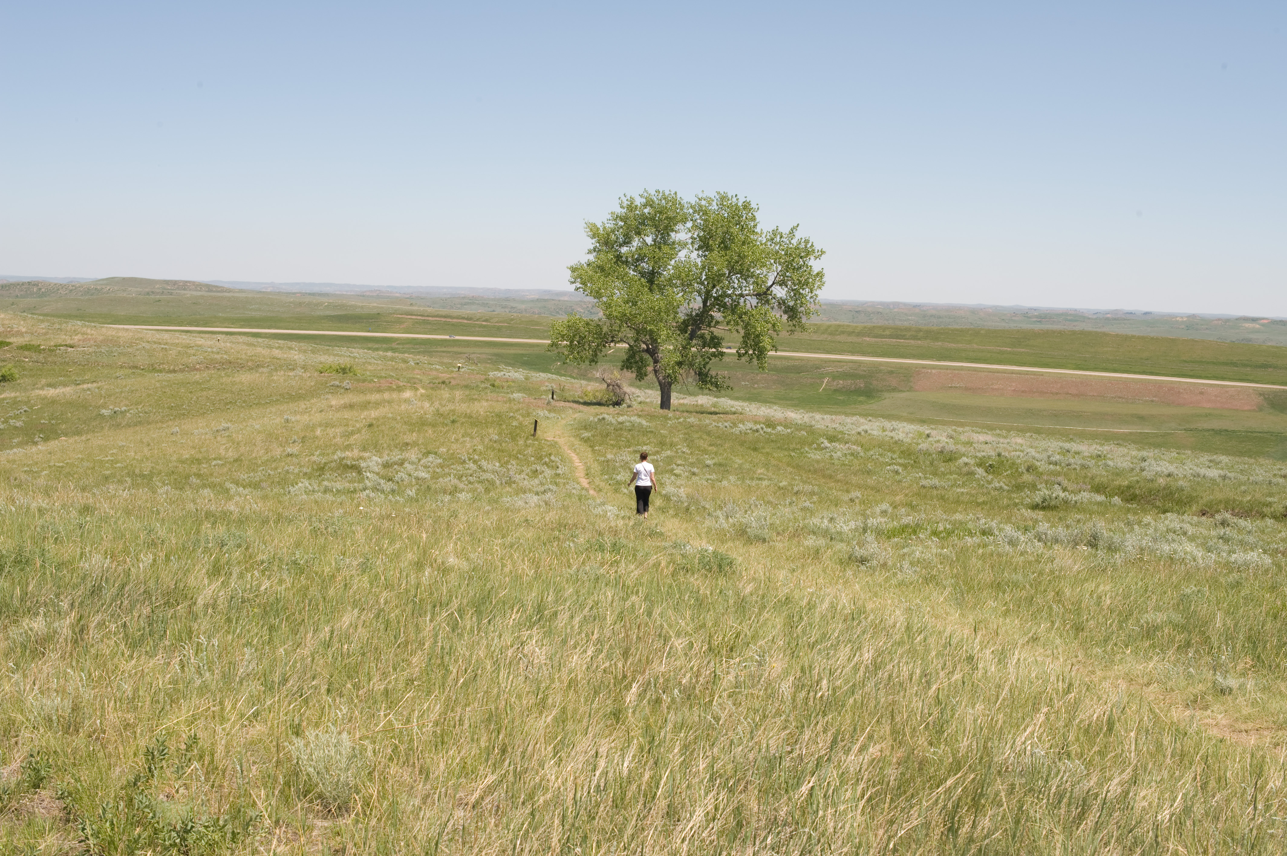
English: Massacre Hill looking northeast from Fetterman Monument |
| Datum | Taken on 30 juny 2009 |
| Boarne | Eigen wurk |
| Auteur | Junkerjorg |
| Object location | | View this and other nearby images on: OpenStreetMap |
|---|
Lisinsje
| I, the copyright holder of this work, release this work into the public domain. This applies worldwide. In some countries this may not be legally possible; if so: I grant anyone the right to use this work for any purpose, without any conditions, unless such conditions are required by law. |
Triemskiednis
Klik op in datum/tiid om it bestân te besjen sa't it op dat stuit wie.
| Datum/Tiid | Miniatuer | ôfmjittings | Meidogger | Opmerking | |
|---|---|---|---|---|---|
| lêste | 4 jul 2009, 20.42 | | 4.256 × 2.832 (3,74 MB) | Junkerjorg | {{Information |Description={{en|1=Massacre Hill looking northeast from Fetterman Monument}} |Source=Own work by uploader |Author=Junkerjorg |Date=2009-06030 |Permission= |other_versions= }} 44° 34′ 27.47″ N 106° 50′ 27.02″ |
Bestânsgebrûk
De neikommende side brûkt dit bestân:
Globaal bestânsgebrûk
De neikommende oare wiki's brûke dit bestân:
- Gebrûk op en.wikipedia.org
- Gebrûk op es.wikipedia.org
- Gebrûk op fr.wikipedia.org
- Gebrûk op ro.wikipedia.org
- Gebrûk op ru.wikipedia.org