
Ofbyld:Map of Texas highlighting Newton County.svg

Size of this PNG preview of this SVG file: 631 × 600 piksels. Oare resolúsjes: 253 × 240 piksels | 505 × 480 piksels | 808 × 768 piksels | 1.077 × 1.024 piksels | 2.155 × 2.048 piksels | 12.473 × 11.855 piksels.
Oarspronklik bestân (SVG-bestân, nominaal 12.473 × 11.855 pixels, bestânsgrutte: 304 KB)
Gearfetting
| Beskriuwing |
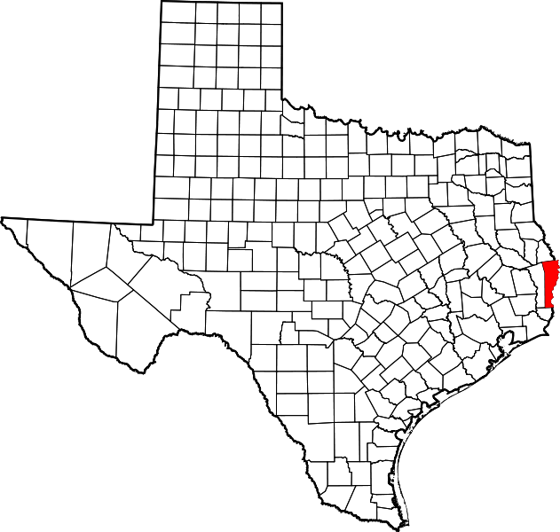
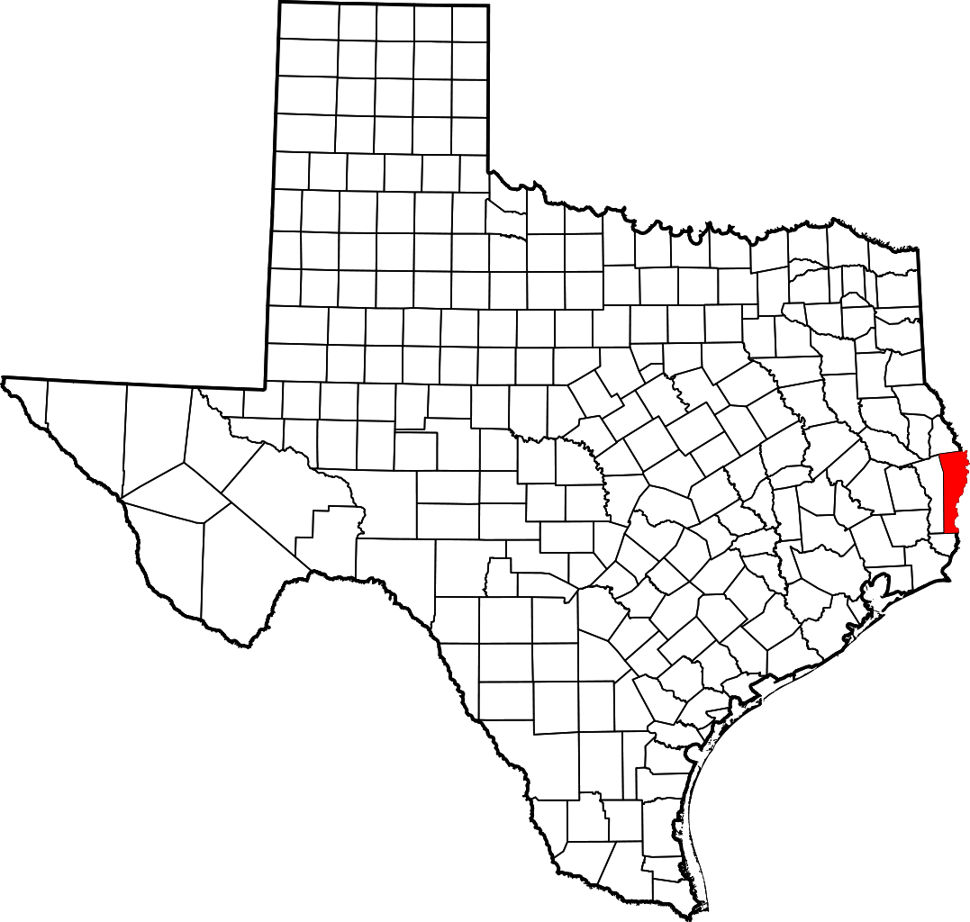
English: This is a locator map showing Newton County in Texas. For more information, see Commons:United States county locator maps. |
| Datum | |
| Boarne |
Eigen wurk: English: The maps use data from nationalatlas.gov, specifically countyp020.tar.gz on the Raw Data Download page. The maps also use state outline data from statesp020.tar.gz. The Florida maps use hydrogm020.tar.gz to display Lake Okeechobee. |
| Auteur | David Benbennick |
Lisinsje
| I, the copyright holder of this work, release this work into the public domain. This applies worldwide. In some countries this may not be legally possible; if so: I grant anyone the right to use this work for any purpose, without any conditions, unless such conditions are required by law. |
Triemskiednis
Klik op in datum/tiid om it bestân te besjen sa't it op dat stuit wie.
| Datum/Tiid | Miniatuer | ôfmjittings | Meidogger | Opmerking | |
|---|---|---|---|---|---|
| lêste | 12 feb 2006, 19.16 | | 12.473 × 11.855 (304 KB) | David Benbennick | {{subst:User:Dbenbenn/clm|county=Newton County|state=Texas|type=county}} |
Bestânsgebrûk
De neikommende side brûkt dit bestân:
Globaal bestânsgebrûk
De neikommende oare wiki's brûke dit bestân:
- Gebrûk op ar.wikipedia.org
- Gebrûk op be.wikipedia.org
- Gebrûk op bg.wikipedia.org
- Gebrûk op bpy.wikipedia.org
- Gebrûk op cdo.wikipedia.org
- Gebrûk op ceb.wikipedia.org
- Gebrûk op cs.wikipedia.org
- Gebrûk op cy.wikipedia.org
- Gebrûk op de.wikipedia.org
- Gebrûk op en.wikipedia.org
- List of counties in Texas
- Newton County, Texas
- Deweyville, Texas
- Newton, Texas
- South Toledo Bend, Texas
- Shankleville, Texas
- Wiergate, Texas
- Burkeville, Texas
- Princeton, Newton County, Texas
- Bon Wier, Texas
- Biloxi, Texas
- Template:Newton County, Texas
- Trotti, Texas
- Category:Wikipedia requested photographs in Newton County, Texas
- User:Nyttend/County templates/TX/3
- Call, Texas
- Template:NewtonCountyTX-geo-stub
- Belgrade, Texas
- Category:Populated places in Newton County, Texas
- National Register of Historic Places listings in Newton County, Texas
- Deweyville Swing Bridge
- Adsul, Texas
- Bleakwood, Texas
- List of census-designated places in Texas
- Gebrûk op eo.wikipedia.org
- Gebrûk op es.wikipedia.org
- Gebrûk op et.wikipedia.org
- Gebrûk op eu.wikipedia.org
- Gebrûk op fa.wikipedia.org
Mear globaal gebrûk fan dit bestân besjen.