
Ofbyld:LoughFoyleLocation.png
Gjin hegere resolúsje beskikber.
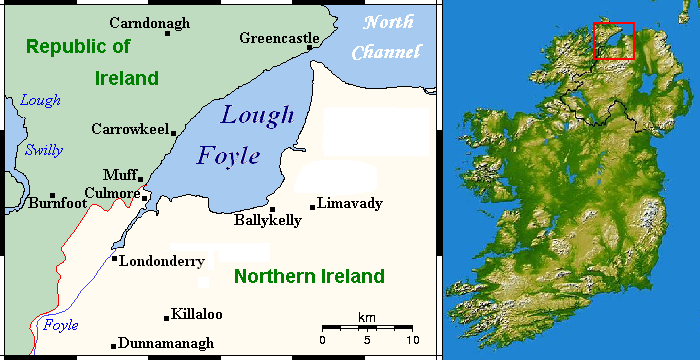
LoughFoyleLocation.png (700 × 360 pixels, bestânsgrutte: 186 KB, MIME-type: image/png)
| Beskriuwing | Lough Foyle location map | ||
| Datum | |||
| Boarne | [1] and File:600x748-Carte-de-l'Irlande-R.jpg | ||
| Auteur | User:Hogweard | ||
| Tastimming (Reusing this file) |
|
![[1]](https://en.wikipedia.org/wiki/File:LoughFoyleCloseup.png)
Triemskiednis
Klik op in datum/tiid om it bestân te besjen sa't it op dat stuit wie.
| Datum/Tiid | Miniatuer | ôfmjittings | Meidogger | Opmerking | |
|---|---|---|---|---|---|
| lêste | 30 des 2010, 13.45 | | 700 × 360 (186 KB) | Hogweard | {{Information |Description=Lough Foyle location map |Source=[http://en.wikipedia.org/wiki/File:LoughFoyleCloseup.png], |Date=30 Dec 2010 |Author=User:Hogweard |Permission={{PD-self}} |other_versions= }} Category:Lough Foyle |
Bestânsgebrûk
De neikommende side brûkt dit bestân:
Globaal bestânsgebrûk
De neikommende oare wiki's brûke dit bestân:
- Gebrûk op en.wikipedia.org
- Gebrûk op nl.wikipedia.org