
Ofbyld:Hesse relief location map.svg

Size of this PNG preview of this SVG file: 429 × 600 piksels. Oare resolúsjes: 172 × 240 piksels | 343 × 480 piksels | 549 × 768 piksels | 732 × 1.024 piksels | 1.465 × 2.048 piksels | 744 × 1.040 piksels.
Oarspronklik bestân (SVG-bestân, nominaal 744 × 1.040 pixels, bestânsgrutte: 2,69 MB)
Gearfetting
| Beskriuwing |
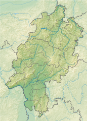
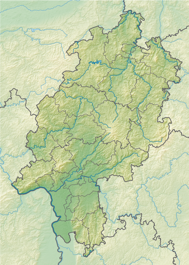
Geografische Begrenzung der Karte:
Geographic limits of the map:
|
||
| Datum | |||
| Boarne |
Own work using:
|
||
| Auteur | NordNordWest + Lencer | ||
| Oare ferzjes |
|
||
| SVG genesis | This map was created with Adobe Illustrator.
|


Lisinsje
This file is licensed under the Creative Commons Attribution-Share Alike 3.0 Germany license.
Nammefermelding: Karte/Map: NordNordWest/Lencer, Lizenz/Licence: Creative Commons by-sa-3.0 de
- Fiel jo frij:
- te dielen – it wurk te kopiearjen, fersprieden en út te stjoeren
- te fermingen – it wurk oan te passen
- Under de neikommende betingsten:
- Nammefermelding – You must give appropriate credit, provide a link to the license, and indicate if changes were made. You may do so in any reasonable manner, but not in any way that suggests the licensor endorses you or your use.
- Lyk diele – If you remix, transform, or build upon the material, you must distribute your contributions under the same or compatible license as the original.

| Annotations | This image is annotated: View the annotations at Commons |
Triemskiednis
Klik op in datum/tiid om it bestân te besjen sa't it op dat stuit wie.
| Datum/Tiid | Miniatuer | ôfmjittings | Meidogger | Opmerking | |
|---|---|---|---|---|---|
| lêste | 12 nov 2013, 10.26 | | 744 × 1.040 (2,69 MB) | NordNordWest | c |
| 11 nov 2013, 22.43 |  | 744 × 1.040 (2,69 MB) | NordNordWest | == {{int:filedesc}} == {{Information |Description= {{de|Positionskarte für Hessen, Deutschland}} Geografische Begrenzung der Karte: * N: 51.756153° N * S: 49.31706° N * W: 7.597045° O * O: 10.3364° O {{en|Locatio... |
Bestânsgebrûk
De neikommende side brûkt dit bestân:
Globaal bestânsgebrûk
De neikommende oare wiki's brûke dit bestân:
- Gebrûk op als.wikipedia.org
- Gebrûk op bg.wikipedia.org
- Франкфурт на Майн
- Марбург
- Дармщат
- Висбаден
- Касел
- Ханау
- Вецлар
- Бад Швалбах
- Зелигенщат
- Бирщайн
- Лорш
- Амьонебург
- Бад Вилдунген
- Нидернхаузен
- Гисен
- Идщайн
- Фулда (град)
- Бенсхайм
- Офенбах на Майн
- Шаблон:ПК Германия Хесен
- Херборн
- Епщайн
- Фритцлар
- Нида
- Бюдинген
- Гуденсберг
- Бад Херсфелд
- Ротенбург на Фулда
- Хадамар
- Дридорф
- Диленбург
- Ванфрид
- Ешвеге
- Байлщайн
- Шпангенберг
- Хюнфелд
- Рункел
- Лимбург ан дер Лан
- Вайлбург
- Шаафхайм
- Дибург
- Бабенхаузен (Хесен)
- Бад Кьониг
- Михелщат
- Лих
- Кауфунген
- Бад Хомбург
Mear globaal gebrûk fan dit bestân besjen.