
Ofbyld:European Russia laea relief location map.jpg
Grutte fan dit proefbyld: 454 × 599 piksels. Oare resolúsjes: 182 × 240 piksels | 364 × 480 piksels | 582 × 768 piksels | 1.181 × 1.558 piksels.
Oarspronklik bestân (1.181 × 1.558 pixels, bestânsgrutte: 1,64 MB, MIME-type: image/jpeg)
Gearfetting
| Beskriuwing |
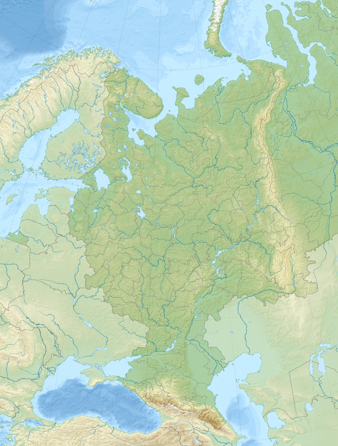
English:
Relief location map of European_Russia.
|
| Datum | |
| Boarne | Eigen wurk |
| Auteur | Uwe Dedering |
| Oare ferzjes |
|
.jpg)
.jpg)
Lisinsje
I, the copyright holder of this work, hereby publish it under the following licenses:
This file is licensed under the Creative Commons Attribution-Share Alike 3.0 Unported license.
- Fiel jo frij:
- te dielen – it wurk te kopiearjen, fersprieden en út te stjoeren
- te fermingen – it wurk oan te passen
- Under de neikommende betingsten:
- Nammefermelding – You must give appropriate credit, provide a link to the license, and indicate if changes were made. You may do so in any reasonable manner, but not in any way that suggests the licensor endorses you or your use.
- Lyk diele – If you remix, transform, or build upon the material, you must distribute your contributions under the same or compatible license as the original.

|
Der wurdt tastimming jûn ta kopiearjen, fersprieden en/of wizigjen fan dit dokumint ûnder de betinksten fan de GNU-lisinsje foar iepen dokumintaasje, ferzje 1.2, as eltse lettere ferzje útjûn troch de Free Software Foundation; sûnder Ynfariante Seksjes, sûnder Omkaftteksten foar de Foarkante en sûnder Omkaftteksten foar de Efterkante. In kopy fan de lisinsje is opnaam yn de seksje "Text of the GNU Free Documentation License". |
You may select the license of your choice.
Triemskiednis
Klik op in datum/tiid om it bestân te besjen sa't it op dat stuit wie.
| Datum/Tiid | Miniatuer | ôfmjittings | Meidogger | Opmerking | |
|---|---|---|---|---|---|
| lêste | 17 aug 2014, 18.46 | | 1.181 × 1.558 (1,64 MB) | Denniss | Reverted to version as of 14:46, 17 August 2014 - upload controversial changes under a new name or this file will be locked. |
| 17 aug 2014, 17.33 |  | 1.181 × 1.558 (1,67 MB) | Nicolay Sidorov | Let's think up how to show the territory disputable, and until then we will leave the card of state of the facts | |
| 17 aug 2014, 16.46 |  | 1.181 × 1.558 (1,64 MB) | Denniss | Reverted to version as of 10:09, 8 December 2010 -Crimea is taken from Ukraine, at best it is to be shown as disputed | |
| 16 aug 2014, 07.26 |  | 1.181 × 1.558 (1,67 MB) | Nicolay Sidorov | +Crimea | |
| 8 des 2010, 12.09 |  | 1.181 × 1.558 (1,64 MB) | Uwe Dedering | initial upload |
Bestânsgebrûk
De neikommende 5 siden brûke dit bestân:
Globaal bestânsgebrûk
De neikommende oare wiki's brûke dit bestân:
- Gebrûk op als.wikipedia.org
- Gebrûk op ar.wikipedia.org
- Gebrûk op azb.wikipedia.org
- Gebrûk op be.wikipedia.org
- Ака
- Сярэднярускае ўзвышша
- Агульны Сырт
- Ловаць
- Стаўрапольскае ўзвышша
- Дзясна
- Кума
- Волхаў
- Таганрогскі заліў
- Вага (рака)
- Уфа (рака)
- Паўднёвы Урал
- Шаблон:На карце/Расія Еўрапейская частка
- Пячорская нізіна
- Кільмезь
- Міяс (рака)
- Варона (прыток Хапра)
- Вялікі Узень
- Няцёша
- Малы Узень
- Усмань (рака)
- Мста
- Таўда (рака)
- Піжма (прыток Вяткі)
- Мядзведзіца (прыток Дона)
- Ік (рака)
- Вазузскае вадасховішча
- Сок (рака)
- Паўлаўскае вадасховішча
- Луза (рака)
- Кобра (рака)
- Водлвозера
- Малка (прыток Церака)
- Урух (рака)
- Чапца
- Кунья (прыток Ловаці)
- Аргазінскае вадасховішча
- Карпаўскае вадасховішча
- Нарадная
- Катаў
- Егарлык
- Сумганская пячора
- Gebrûk op bg.wikipedia.org
Mear globaal gebrûk fan dit bestân besjen.