
Ofbyld:Europe laea location map.svg

Size of this PNG preview of this SVG file: 701 × 599 piksels. Oare resolúsjes: 281 × 240 piksels | 561 × 480 piksels | 898 × 768 piksels | 1.198 × 1.024 piksels | 2.395 × 2.048 piksels | 1.401 × 1.198 piksels.
Oarspronklik bestân (SVG-bestân, nominaal 1.401 × 1.198 pixels, bestânsgrutte: 2,21 MB)
Gearfetting
| Beskriuwing |
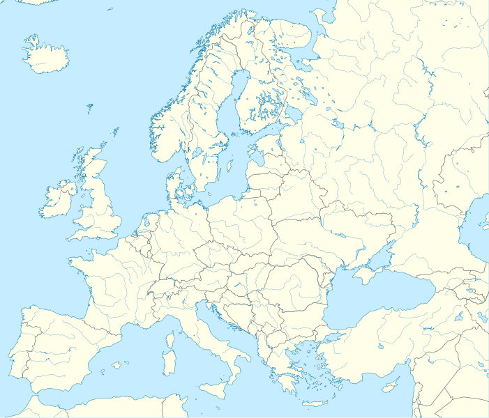
Deutsch: Positionskarte Europa; Politisch mit Staatsgrenzen, Inlandgewässer; Flächentreue Azimutalprojektion
English: Location map Europe; Political with state boundaries, inland water; Lambert azimuthal equal-area projection
Français : Carte de localisation Europe; Politique avec frontières d'Etats, mers intérieures; projection de Lambert azimuthale
Русский: Политическая карта Европы с границами государств и внутренними водами по состоянию на 2010 год (равновеликая азимутальная проекция Ламберта)
|
||
| Datum | |||
| Boarne |
Eigen wurk
|
||
| Auteur | Alexrk2 | ||
| Oare ferzjes |
Derivative works of this file:
[]
|
||
| SVG genesis |
|


.svg)


Lisinsje
I, the copyright holder of this work, hereby publish it under the following license:
This file is licensed under the Creative Commons Attribution-Share Alike 3.0 Unported license.
- Fiel jo frij:
- te dielen – it wurk te kopiearjen, fersprieden en út te stjoeren
- te fermingen – it wurk oan te passen
- Under de neikommende betingsten:
- Nammefermelding – You must give appropriate credit, provide a link to the license, and indicate if changes were made. You may do so in any reasonable manner, but not in any way that suggests the licensor endorses you or your use.
- Lyk diele – If you remix, transform, or build upon the material, you must distribute your contributions under the same or compatible license as the original.
Triemskiednis
Klik op in datum/tiid om it bestân te besjen sa't it op dat stuit wie.
| Datum/Tiid | Miniatuer | ôfmjittings | Meidogger | Opmerking | |
|---|---|---|---|---|---|
| lêste | 21 aug 2012, 00.57 | | 1.401 × 1.198 (2,21 MB) | McZusatz | Reverted to version as of 19:40, 10 March 2010 (...thumb fixed?) |
| 21 aug 2012, 00.56 |  | 1.401 × 1.198 (1,45 MB) | McZusatz | Reverted to version as of 18:44, 10 March 2010 (fixing thumb...) | |
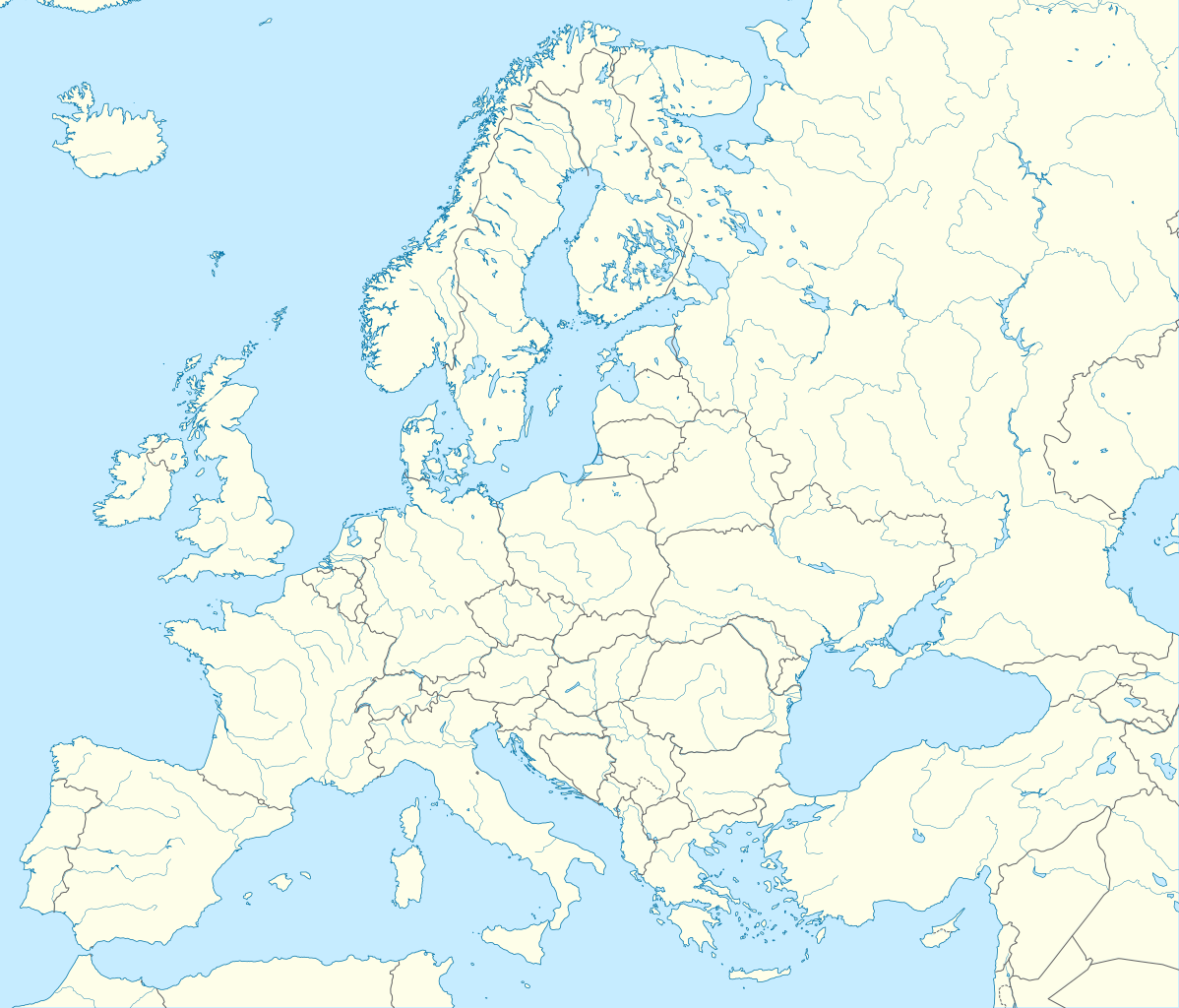
| 10 mrt 2010, 21.40 |  | 1.401 × 1.198 (2,21 MB) | Alexrk2 | +San Marino, enh. coastline & countries | |
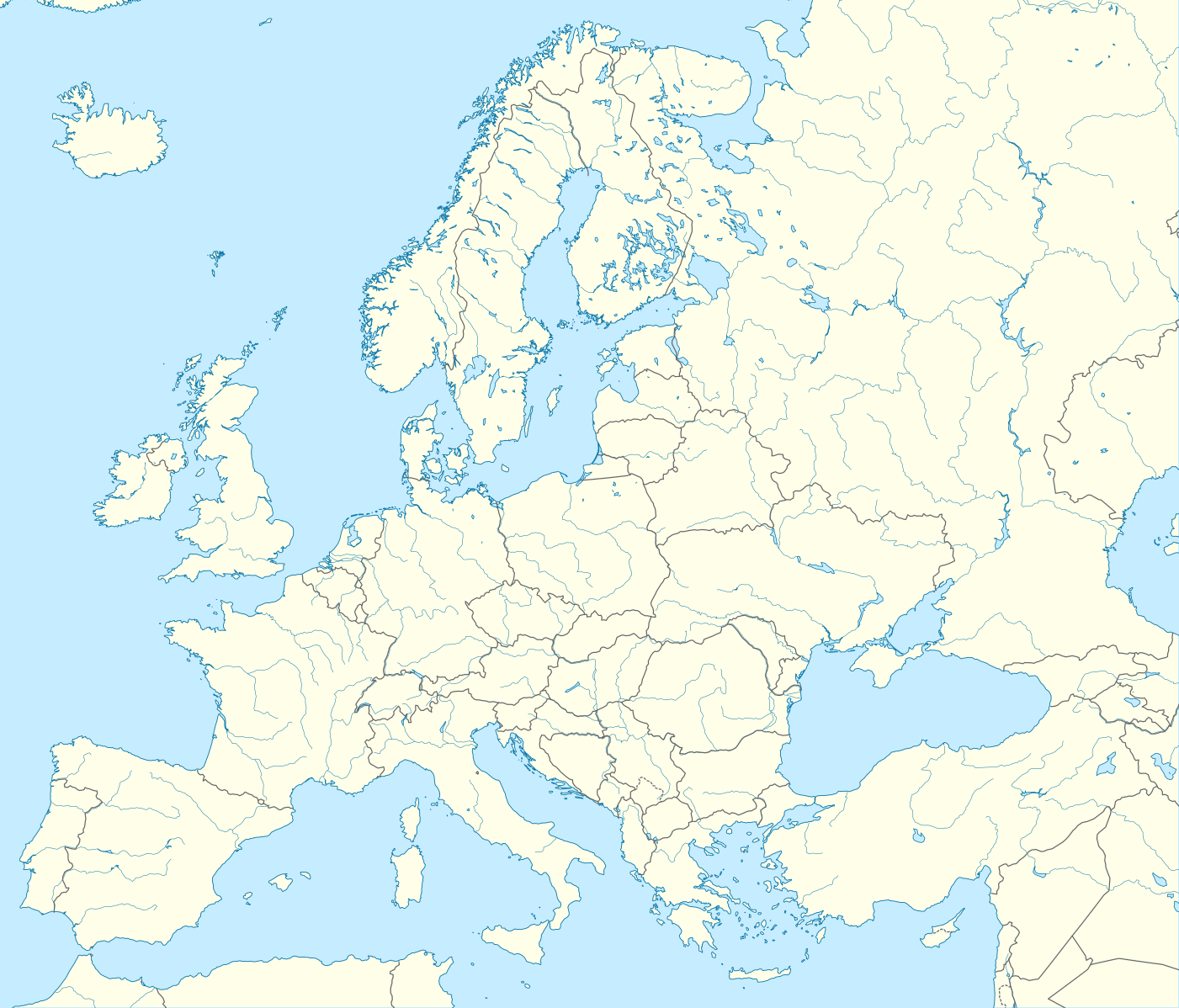
| 10 mrt 2010, 20.44 |  | 1.401 × 1.198 (1,45 MB) | Alexrk2 | == Summary == {{Information |Description= {{de|Positionskarte Europa; Politisch mit Staatsgrenzen, Inlandgewässer; Flächentreue Azimutalprojektion}} {{en|Location map Europe; Political with state boundaries, inland water; L |
Bestânsgebrûk
De neikommende 2 siden brûke dit bestân:
Globaal bestânsgebrûk
De neikommende oare wiki's brûke dit bestân:
- Gebrûk op als.wikipedia.org
- Gebrûk op an.wikipedia.org
- Gebrûk op av.wikipedia.org
- Gebrûk op az.wikipedia.org
- Dunay
- Reyn
- UEFA Çempionlar Liqası 1994/1995
- UEFA Çempionlar Liqası 2007/2008
- Şablon:Yer xəritəsi Avropa
- Aqriate
- Akkona (səhra)
- Bardenas-Reales
- Pişinas
- Tabernas (səhra)
- Aleşkov qumları
- Mançester Arenada terror (2017)
- Avropa Gənclər Olimpiya Festivalı
- UEFA Çempionlar Liqası 2017/2018
- Yan çayı
- UEFA Çempionlar Liqası 2018/2019
- Moneqros səhrası
- UEFA Çempionlar Liqası 2019/2020
- UEFA Çempionlar Liqası 2020/2021
- UEFA Çempionlar Liqası 2021/2022
- Gebrûk op ba.wikipedia.org
Mear globaal gebrûk fan dit bestân besjen.