
Ofbyld:Chile location map.svg

Size of this PNG preview of this SVG file: 267 × 600 piksels. Oare resolúsjes: 107 × 240 piksels | 213 × 480 piksels | 342 × 768 piksels | 455 × 1.024 piksels | 911 × 2.048 piksels | 1.183 × 2.658 piksels.
Oarspronklik bestân (SVG-bestân, nominaal 1.183 × 2.658 pixels, bestânsgrutte: 925 KB)
Gearfetting
| Beskriuwing |
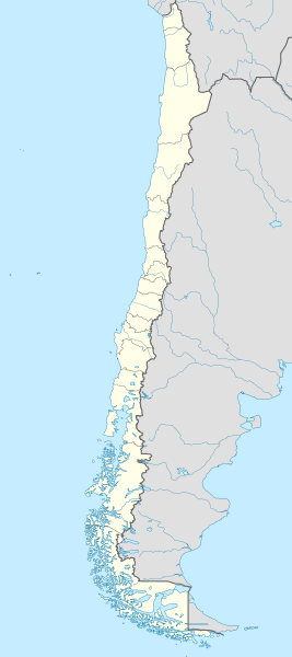
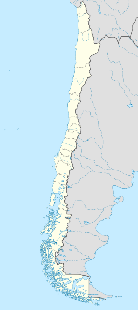
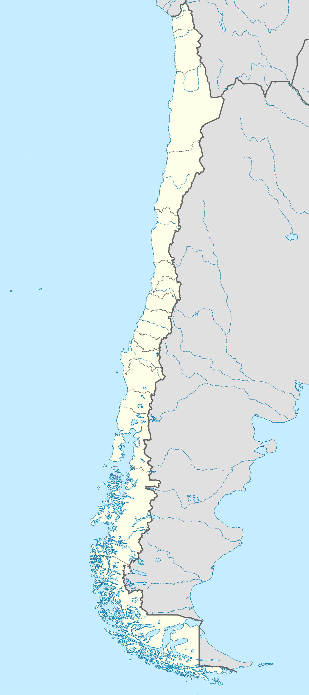
Deutsch: Positionskarte von Chile
Quadratische Plattkarte, N-S-Streckung 115 %. Geographische Begrenzung der Karte:
English: Location map of Chile
Equirectangular projection, N/S stretching 115 %. Geographic limits of the map:
Español: Mapa de localización de Chile
Proyección Equirectangular, N/S con una extensión de 115 %. Límites geográficos del mapa:
|
| Datum | |
| Boarne |
own work, using
|
| Auteur | NordNordWest |
| Oare ferzjes |
Derivative works of this file:
|
.svg)
.svg)
.svg)
.svg)

|
This map has been made or improved in the German Kartenwerkstatt (Map Lab). You can propose maps to improve as well.
|
Lisinsje
I, the copyright holder of this work, hereby publish it under the following licenses:

|
Der wurdt tastimming jûn ta kopiearjen, fersprieden en/of wizigjen fan dit dokumint ûnder de betinksten fan de GNU-lisinsje foar iepen dokumintaasje, ferzje 1.2, as eltse lettere ferzje útjûn troch de Free Software Foundation; sûnder Ynfariante Seksjes, sûnder Omkaftteksten foar de Foarkante en sûnder Omkaftteksten foar de Efterkante. In kopy fan de lisinsje is opnaam yn de seksje "Text of the GNU Free Documentation License". |
This file is licensed under the Creative Commons Attribution-Share Alike 3.0 Unported license.
- Fiel jo frij:
- te dielen – it wurk te kopiearjen, fersprieden en út te stjoeren
- te fermingen – it wurk oan te passen
- Under de neikommende betingsten:
- Nammefermelding – You must give appropriate credit, provide a link to the license, and indicate if changes were made. You may do so in any reasonable manner, but not in any way that suggests the licensor endorses you or your use.
- Lyk diele – If you remix, transform, or build upon the material, you must distribute your contributions under the same or compatible license as the original.
You may select the license of your choice.
Triemskiednis
Klik op in datum/tiid om it bestân te besjen sa't it op dat stuit wie.
| Datum/Tiid | Miniatuer | ôfmjittings | Meidogger | Opmerking | |
|---|---|---|---|---|---|
| lêste | 16 aug 2023, 00.46 | | 1.183 × 2.658 (925 KB) | Janitoalevic | Fixed Aysén & Magallanes and Chilean Antarctica Regions border. |
| 6 sep 2018, 00.54 |  | 1.183 × 2.658 (925 KB) | Janitoalevic | Ñuble Region | |
| 3 des 2017, 22.30 |  | 1.183 × 2.658 (921 KB) | Janitoalevic | color error. | |
| 3 des 2017, 22.28 |  | 1.183 × 2.658 (921 KB) | Janitoalevic | Fixed Argentina's Lake Nahuel Huapi | |
| 3 des 2017, 22.25 |  | 1.183 × 2.658 (920 KB) | Janitoalevic | . | |
| 2 des 2017, 23.50 |  | 1.183 × 2.658 (920 KB) | Janitoalevic | Fixed Argentina-Bolivia border | |
| 2 des 2017, 23.46 |  | 1.183 × 2.658 (920 KB) | Janitoalevic | . | |
| 30 aug 2017, 02.42 |  | 1.183 × 2.658 (919 KB) | Janitoalevic | Fixed size | |
| 21 aug 2017, 01.30 |  | 1.262 × 2.835 (910 KB) | Janitoalevic | Removed Ñuble Region (Will be fully implemented in 2018) | |
| 20 aug 2017, 03.00 |  | 1.262 × 2.835 (914 KB) | Janitoalevic | Added Ñuble Region & more precise borders |
Bestânsgebrûk
De neikommende 2 siden brûke dit bestân:
Globaal bestânsgebrûk
De neikommende oare wiki's brûke dit bestân:
- Gebrûk op af.wikipedia.org
- Antofagasta
- Pichilemu
- FIFA Sokker-Wêreldbekertoernooi in 1962
- Chillán
- Los Ángeles (Chili)
- Talcahuano
- Quinta Normal
- Temuco
- Puerto Montt
- Punta Arenas
- Coyhaique
- Valdivia
- Castro (Chili)
- San Pedro de la Paz
- Villa Alemana
- Sjabloon:Liggingkaart Chili
- Penco
- Hualpén
- Chiguayante
- Hualqui
- Coronel (Chili)
- Lota
- Tomé
- La Serena
- Arica
- Monte Águila (Chili)
- Arturo Merino Benítez Internasionale Lughawe
- Gebrûk op als.wikipedia.org
- Gebrûk op an.wikipedia.org
Mear globaal gebrûk fan dit bestân besjen.