
Ofbyld:Charlesrivermap.png
Grutte fan dit proefbyld: 600 × 600 piksels. Oare resolúsjes: 240 × 240 piksels | 480 × 480 piksels | 1.000 × 1.000 piksels.
Oarspronklik bestân (1.000 × 1.000 pixels, bestânsgrutte: 587 KB, MIME-type: image/png)
Gearfetting
| Beskriuwing | |
| Datum | |
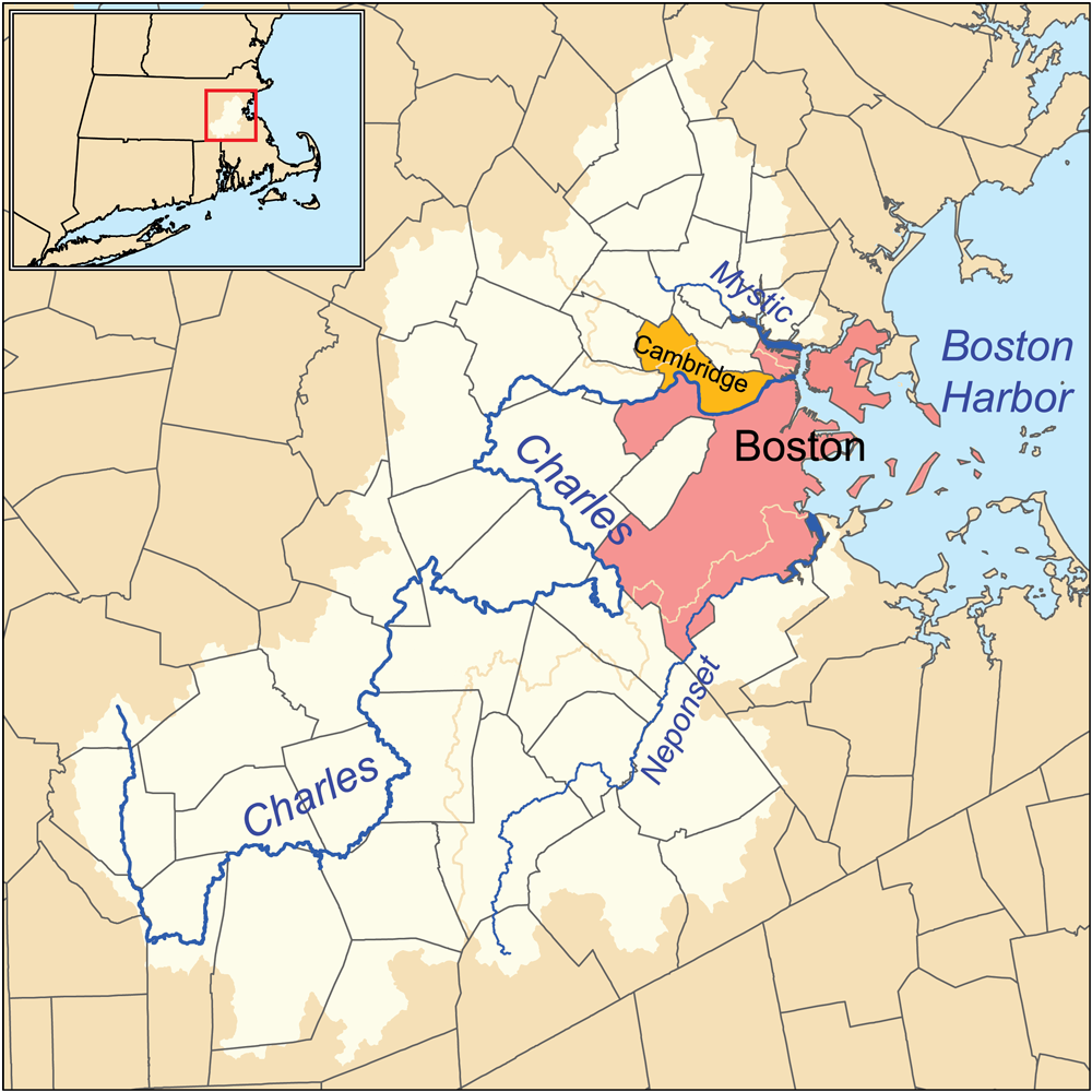
| Boarne | Eigen wurk. Township data source: Census Bureau [1]. Hydrology data source: National Hydrography Dataset [2]. |
| Auteur | Kmusser |
Lisinsje
I, the copyright holder of this work, hereby publish it under the following license:
This file is licensed under the Creative Commons Attribution-Share Alike 3.0 Unported license.
- Fiel jo frij:
- te dielen – it wurk te kopiearjen, fersprieden en út te stjoeren
- te fermingen – it wurk oan te passen
- Under de neikommende betingsten:
- Nammefermelding – You must give appropriate credit, provide a link to the license, and indicate if changes were made. You may do so in any reasonable manner, but not in any way that suggests the licensor endorses you or your use.
- Lyk diele – If you remix, transform, or build upon the material, you must distribute your contributions under the same or compatible license as the original.

|
This geology image could be re-created using vector graphics as an SVG file. This has several advantages; see Commons:Media for cleanup for more information. If an SVG form of this image is available, please upload it and afterwards replace this template with
{{vector version available|new image name}}.
It is recommended to name the SVG file “Charlesrivermap.svg”—then the template Vector version available (or Vva) does not need the new image name parameter. |
Triemskiednis
Klik op in datum/tiid om it bestân te besjen sa't it op dat stuit wie.
| Datum/Tiid | Miniatuer | ôfmjittings | Meidogger | Opmerking | |
|---|---|---|---|---|---|
| lêste | 4 mrt 2010, 17.53 | | 1.000 × 1.000 (587 KB) | Kmusser | correction to Charles headwaters, increased resolution and other minor changes |
| 24 jan 2007, 00.34 |  | 500 × 500 (166 KB) | Kmusser | This is a map of the Charles, Mystic, and Neponset watersheds. I, Karl Musser, created it based on USGS and [[:en:United States Census Bureau|Census Burea |
Bestânsgebrûk
De neikommende 2 siden brûke dit bestân:
Globaal bestânsgebrûk
De neikommende oare wiki's brûke dit bestân:
- Gebrûk op ar.wikipedia.org
- Gebrûk op arz.wikipedia.org
- Gebrûk op be.wikipedia.org
- Gebrûk op bg.wikipedia.org
- Gebrûk op ca.wikipedia.org
- Gebrûk op da.wikipedia.org
- Gebrûk op de.wikipedia.org
- Gebrûk op en.wikipedia.org
- Gebrûk op eo.wikipedia.org
- Gebrûk op es.wikipedia.org
- Gebrûk op et.wikipedia.org
- Gebrûk op fr.wikipedia.org
- Gebrûk op gl.wikipedia.org
- Gebrûk op he.wikipedia.org
- Gebrûk op hr.wikipedia.org
- Gebrûk op it.wikipedia.org
- Gebrûk op ja.wikipedia.org
- Gebrûk op ml.wikipedia.org
- Gebrûk op nl.wikipedia.org
- Gebrûk op no.wikipedia.org
- Gebrûk op pl.wikipedia.org
- Gebrûk op pt.wikipedia.org
- Gebrûk op ru.wikipedia.org
- Gebrûk op sh.wikipedia.org
- Gebrûk op simple.wikipedia.org
- Gebrûk op sw.wikipedia.org
- Gebrûk op tr.wikipedia.org
- Gebrûk op uk.wikipedia.org
- Gebrûk op www.wikidata.org
- Gebrûk op zh.wikipedia.org