
Ofbyld:Canada Saskatchewan relief location map.jpg

Grutte fan dit proefbyld: 486 × 599 piksels. Oare resolúsjes: 195 × 240 piksels | 389 × 480 piksels | 623 × 768 piksels | 831 × 1.024 piksels | 2.184 × 2.691 piksels.
Oarspronklik bestân (2.184 × 2.691 pixels, bestânsgrutte: 3,07 MB, MIME-type: image/jpeg)
| Beskriuwing |
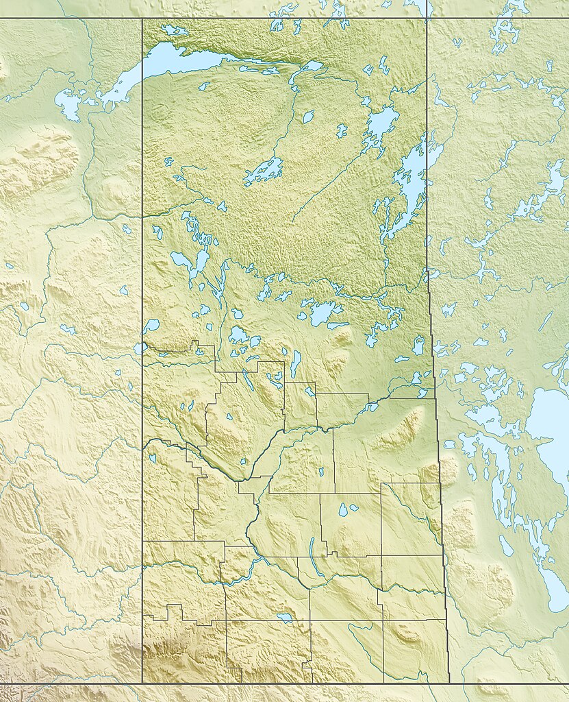
Quadratische Plattkarte, N-S-Streckung 170 %. Geographische Begrenzung der Karte:
Equirectangular projection, N/S stretching 170 %. Geographic limits of the map:
|
| Datum | |
| Boarne |
Eigen wurk, using
|
| Auteur | Carport |
| Tastimming (Reusing this file) |
This file is licensed under the Creative Commons Attribution-Share Alike 3.0 Unported license.
|
| Oare ferzjes |
|

Triemskiednis
Klik op in datum/tiid om it bestân te besjen sa't it op dat stuit wie.
| Datum/Tiid | Miniatuer | ôfmjittings | Meidogger | Opmerking | |
|---|---|---|---|---|---|
| lêste | 30 nov 2012, 19.07 | | 2.184 × 2.691 (3,07 MB) | Carport | {{Information |Description= {{de|Physische Positionskarte von Saskatchewan, Kanada}} Quadratische Plattkarte, N-S-Streckung 170 %. Geographische Begrenzung der Karte: * N: 60.3° N * S: 48.7° N * W: 114.0° W * O: 9... |
Bestânsgebrûk
De neikommende side brûkt dit bestân:
Globaal bestânsgebrûk
De neikommende oare wiki's brûke dit bestân:
- Gebrûk op ar.wikipedia.org
- Gebrûk op ban.wikipedia.org
- Gebrûk op be-tarask.wikipedia.org
- Gebrûk op bg.wikipedia.org
- Gebrûk op ca.wikipedia.org
- Gebrûk op cs.wikipedia.org
- Gebrûk op de.wikipedia.org
- Athabascasee
- Primrose Lake
- Uranbergwerk Cigar Lake
- Reindeer Lake
- Cypress Hills
- Wollaston Lake
- McArthur-River-Uranmine
- Gardiner-Staudamm
- Turtle Lake (Saskatchewan)
- Vorlage:Positionskarte Kanada Saskatchewan
- Wikipedia:Kartenwerkstatt/Positionskarten/Nordamerika
- Lake Diefenbaker
- Cree Lake
- Black Lake (Fond du Lac River, Saskatchewan)
- Lac la Ronge
- Selwyn Lake
- Peter Pond Lake
- Doré Lake
- Churchill Lake (Saskatchewan)
- Montreal Lake (Saskatchewan)
- Frobisher Lake
- Deschambault Lake
- Amisk Lake
- Pinehouse Lake
- Redberry Lake
- Lac la Plonge
- Lac Île-à-la-Crosse
- Porcupine Hills Provincial Park
- Lac La Ronge Provincial Park
Mear globaal gebrûk fan dit bestân besjen.