
Ofbyld:Canada Prince Edward Island location map 2.svg

Size of this PNG preview of this SVG file: 758 × 600 piksels. Oare resolúsjes: 303 × 240 piksels | 607 × 480 piksels | 971 × 768 piksels | 1.280 × 1.013 piksels | 2.560 × 2.025 piksels | 1.039 × 822 piksels.
Oarspronklik bestân (SVG-bestân, nominaal 1.039 × 822 pixels, bestânsgrutte: 248 KB)
| Beskriuwing |
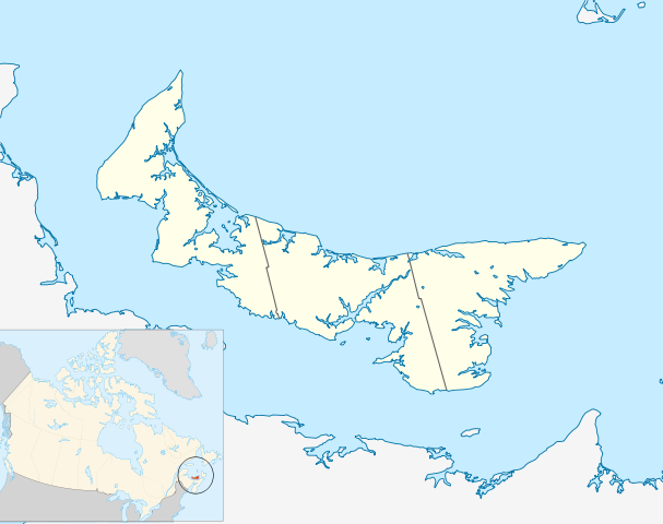
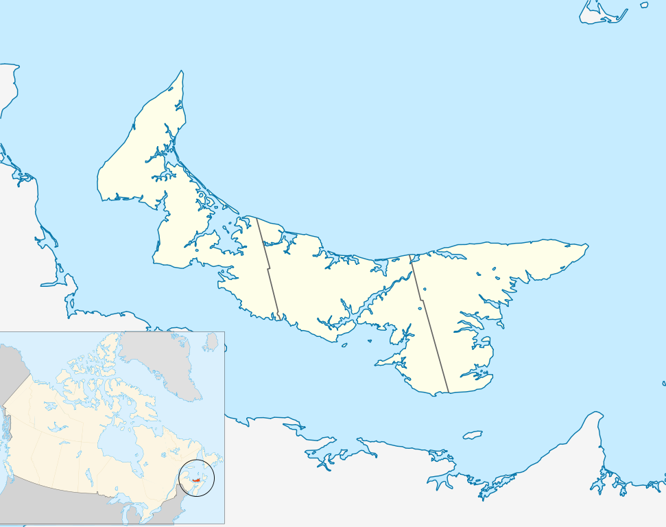
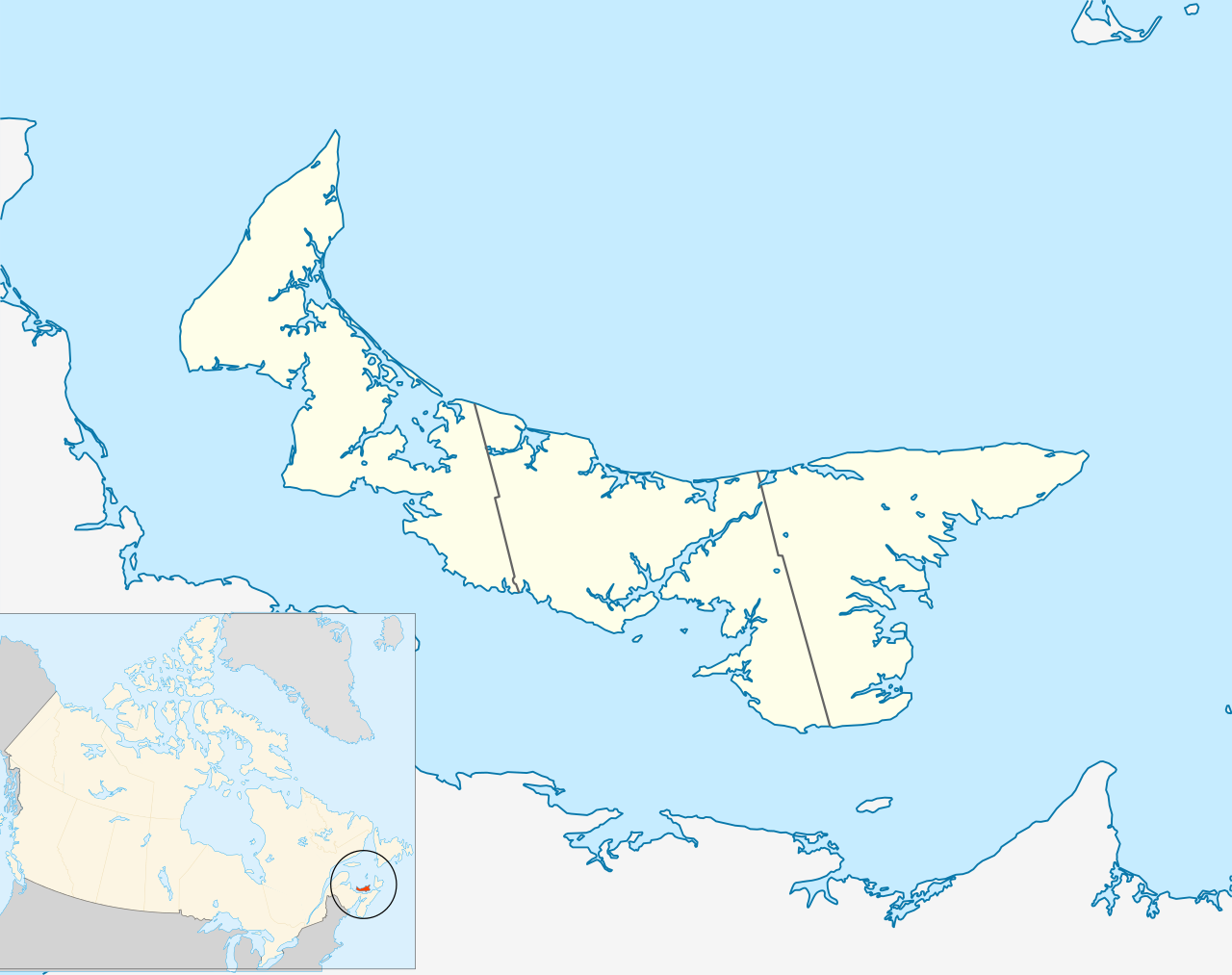
Quadratische Plattkarte, N-S-Streckung 145 %. Geographische Begrenzung der Karte:
Equirectangular projection, N/S stretching 145 %. Geographic limits of the map:
|
| Datum | |
| Boarne | Eigen wurk, based on File:Canada_Prince_Edward_Island_location_map.svg |
| Auteur | Hanhil (talk) 18:14, 24 September 2009 (UTC) based on work by NordNordWest |
| Tastimming (Reusing this file) |
I, the copyright holder of this work, hereby publish it under the following license: This file is licensed under the Creative Commons Attribution-Share Alike 3.0 Unported license.
|
Triemskiednis
Klik op in datum/tiid om it bestân te besjen sa't it op dat stuit wie.
| Datum/Tiid | Miniatuer | ôfmjittings | Meidogger | Opmerking | |
|---|---|---|---|---|---|
| lêste | 24 sep 2009, 20.14 | | 1.039 × 822 (248 KB) | Hanhil | {{Information |Description= {{de|Positionskarte von Prince Edward Island, Kanada}} Quadratische Plattkarte, N-S-Streckung 145 %. Geographische Begrenzung der Karte: * N: 47.3° N * S: 45.5° N * W: 64.9° W * O: |
Bestânsgebrûk
De neikommende side brûkt dit bestân:
Globaal bestânsgebrûk
De neikommende oare wiki's brûke dit bestân:
- Gebrûk op ar.wikipedia.org
- Gebrûk op azb.wikipedia.org
- Gebrûk op ban.wikipedia.org
- Gebrûk op ba.wikipedia.org
- Gebrûk op bg.wikipedia.org
- Gebrûk op bn.wikipedia.org
- Gebrûk op en.wikipedia.org
- List of counties of Prince Edward Island
- Prince Edward Island National Park
- Stratford, Prince Edward Island
- Summerside, Prince Edward Island
- Central Bedeque
- Cornwall, Prince Edward Island
- Charlottetown Airport
- CFB Summerside
- List of islands of Prince Edward Island
- Bonshaw, Prince Edward Island
- Tignish
- Cavendish, Prince Edward Island
- Montague, Prince Edward Island
- Summerside Airport
- Cable Head Airpark
- Grand River Airport
- Basin Head, Prince Edward Island
- Knutsford, Prince Edward Island
- Souris, Prince Edward Island
- Union Road
- Foxley River, Prince Edward Island
- Borden-Carleton
- Richmond, Prince Edward Island
- RCAF Station Mount Pleasant
- Ascension, Prince Edward Island
- North Rustico
- St. Felix, Prince Edward Island
- Alberton, Prince Edward Island
- New London, Prince Edward Island
- RCAF Station Charlottetown
- Brudenell River Provincial Park
- Cedar Dunes Provincial Park
- Red Point Provincial Park
- Argyle Shore Provincial Park
- Bloomfield Provincial Park
- Bonshaw Provincial Park
- Wood Islands Provincial Park
- Hampton, Prince Edward Island
- Kensington, Prince Edward Island
- Georgetown, Prince Edward Island
- O'Leary, Prince Edward Island
- Miscouche
- Brackley, Prince Edward Island
Mear globaal gebrûk fan dit bestân besjen.