
Ofbyld:Bavaria location map G.svg

Size of this PNG preview of this SVG file: 608 × 600 piksels. Oare resolúsjes: 243 × 240 piksels | 487 × 480 piksels | 779 × 768 piksels | 1.038 × 1.024 piksels | 2.077 × 2.048 piksels | 867 × 855 piksels.
Oarspronklik bestân (SVG-bestân, nominaal 867 × 855 pixels, bestânsgrutte: 1,2 MB)
Gearfetting
| Beskriuwing |
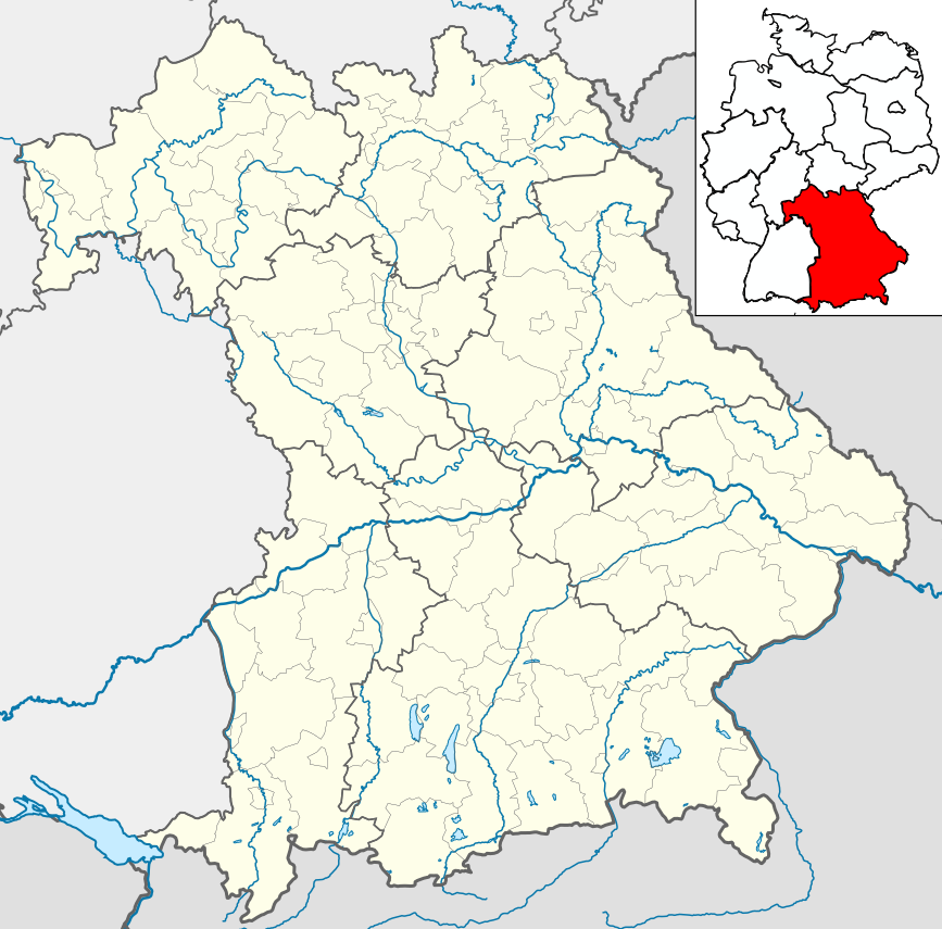
Deutsch: Positionskarte Bayern einschl. der Lage innerhalb Deutschlands. Geographische Begrenzung der Karte:
English: Location map Bavaria, showing position of Bavaria within Germany. Geographic limits of the map:
|
| Datum | |
| Boarne | own work, based upon File:Bavaria location map.svg |
| Auteur | Hanhil based upon previous work by TUBS |
Lisinsje
I, the copyright holder of this work, hereby publish it under the following licenses:

|
Der wurdt tastimming jûn ta kopiearjen, fersprieden en/of wizigjen fan dit dokumint ûnder de betinksten fan de GNU-lisinsje foar iepen dokumintaasje, ferzje 1.2, as eltse lettere ferzje útjûn troch de Free Software Foundation; sûnder Ynfariante Seksjes, sûnder Omkaftteksten foar de Foarkante en sûnder Omkaftteksten foar de Efterkante. In kopy fan de lisinsje is opnaam yn de seksje "Text of the GNU Free Documentation License". |
This file is licensed under the Creative Commons Attribution-Share Alike 3.0 Unported, 2.5 Generic, 2.0 Generic and 1.0 Generic license.
- Fiel jo frij:
- te dielen – it wurk te kopiearjen, fersprieden en út te stjoeren
- te fermingen – it wurk oan te passen
- Under de neikommende betingsten:
- Nammefermelding – You must give appropriate credit, provide a link to the license, and indicate if changes were made. You may do so in any reasonable manner, but not in any way that suggests the licensor endorses you or your use.
- Lyk diele – If you remix, transform, or build upon the material, you must distribute your contributions under the same or compatible license as the original.
You may select the license of your choice.
Triemskiednis
Klik op in datum/tiid om it bestân te besjen sa't it op dat stuit wie.
| Datum/Tiid | Miniatuer | ôfmjittings | Meidogger | Opmerking | |
|---|---|---|---|---|---|
| lêste | 31 mai 2009, 01.19 | | 867 × 855 (1,2 MB) | Michiel1972 | frame |
| 21 mai 2009, 08.13 |  | 867 × 855 (1,19 MB) | Hanhil | Position der Übersichtskarte | |
| 21 mai 2009, 07.59 |  | 867 × 855 (1,19 MB) | Hanhil | == Summary == {{Information |Description= {{de|Positionskarte Bayern einschl. der Lage innerhalb Deutschlands. Geographische Begrenzung der Karte:}} {{en|Location map Bavaria, showing position of Bavari |
Bestânsgebrûk
De neikommende 16 siden brûke dit bestân:
- Bad Staffelstein
- Bamberg (stêd)
- Basilyk Vierzehnheiligen
- Beafearttsjerke fan Wies
- Berchtesgaden
- Dom fan Bamberg
- Dom fan Eichstätt
- Dom fan Passau
- Foarstestift Kempten
- Kempten
- Kleaster Banz
- Kleastertsjerke Sint-Benediktus (Benediktbeuern)
- Lichtenfels (Beieren)
- Sint-Laurentiusbasilyk (Kempten)
- Steingaden
- Berjocht:Posysjekaart Beieren
Globaal bestânsgebrûk
De neikommende oare wiki's brûke dit bestân:
- Gebrûk op azb.wikipedia.org
- Gebrûk op de.wikivoyage.org
- Gebrûk op en.wikipedia.org
- Gebrûk op es.wikipedia.org
- Landsberg am Lech
- Múnich
- Ratisbona
- Dilinga
- Núremberg
- Augsburgo
- Wurzburgo
- Ingolstadt
- Aschaffenburg
- Fürth
- Erlangen
- Ansbach
- Bamberg
- Coburgo
- Traunstein
- Garmisch-Partenkirchen
- Pinacoteca Antigua de Múnich
- Dachau
- Gunzburgo
- Bad Wörishofen
- Cham (Alemania)
- Straubing
- Neue Pinakothek
- Catedral de Bamberg
- Unterdießen
- Residencia de Wurzburgo
- Iglesia de San Miguel (Múnich)
- Theatinerkirche (Múnich)
- Gliptoteca de Múnich
- Palacio de Weißenstein
- Ruhpolding
- Ramsau bei Berchtesgaden
- Iglesia de Wies
- Rothenburg ob der Tauber
- Bad Tölz
- Kronach
- Eichstätt (ciudad)
- Abenberg
- Abadía de Tegernsee
- Oberstdorf
- Eckmühl
- Aeropuerto de Hof-Plauen
- Burghausen
- Plantilla:Mapa de localización de Baviera
- Bad Reichenhall
Mear globaal gebrûk fan dit bestân besjen.