
Ofbyld:20090228 Church Ezinge NL 1.jpg
Grutte fan dit proefbyld: 800 × 341 piksels. Oare resolúsjes: 320 × 136 piksels | 640 × 273 piksels | 1.024 × 436 piksels | 1.280 × 545 piksels | 2.560 × 1.090 piksels | 6.999 × 2.981 piksels.
Oarspronklik bestân (6.999 × 2.981 pixels, bestânsgrutte: 10,8 MB, MIME-type: image/jpeg)
| Beskriuwing |
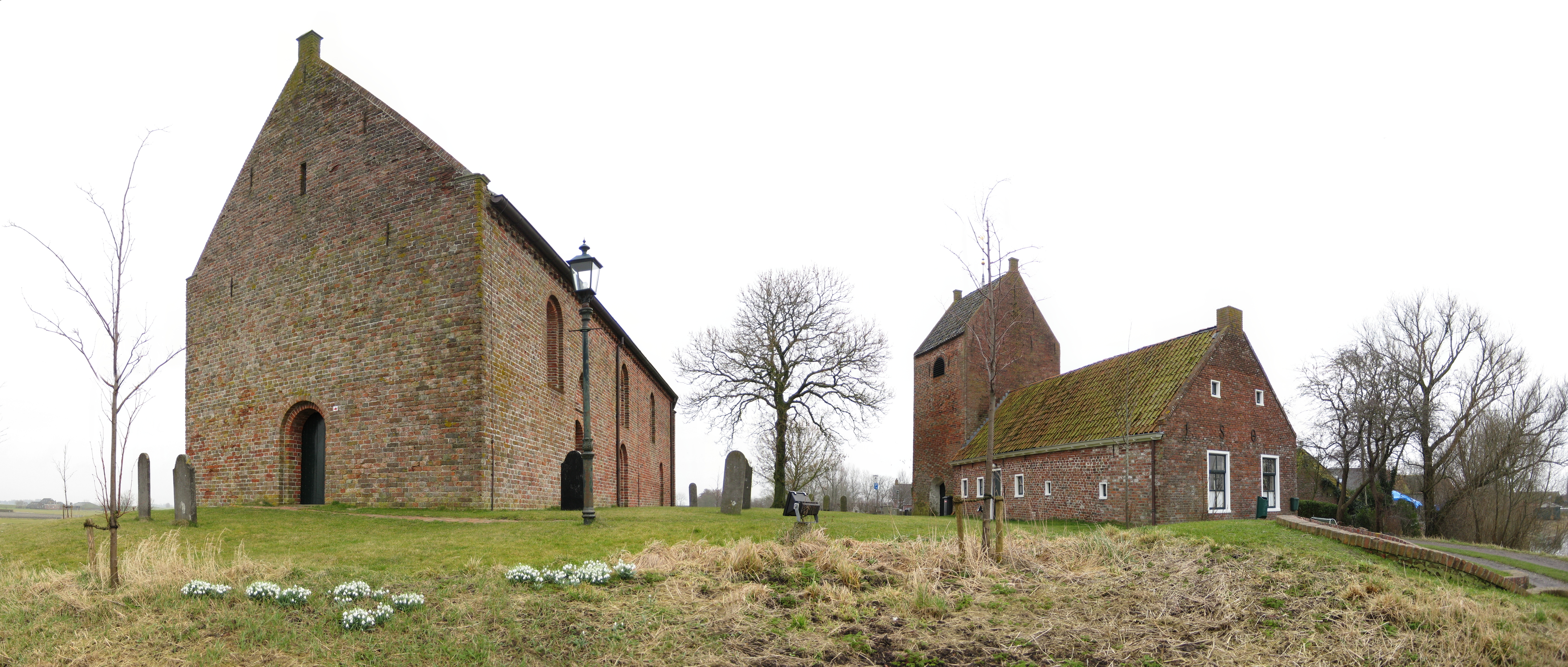
English: The thirteenth century church and church tower of Ezinge, a village in the Dutch province of Groningen.
Frysk: De trettjinde ieuske herfoarmde tsjerke mei frijsteande tsjerketoer fan it Grinzer doarp Ezinge. Njonken de toer in jonger tsjinstgeboutsje. It binne alle trije ryksmonuminten (nrs. 15547, 15548 en 15546).
Nederlands: De kerk en kerktoren van Ezinge, Groningen.
|
||||||
| Datum | |||||||
| Boarne | Eigen wurk | ||||||
| Auteur | Wutsje | ||||||
| Tastimming (Reusing this file) |
Wutsje, the copyright holder of this work, hereby publishes it under the following license: This file is licensed under the Creative Commons Attribution-Share Alike 3.0 Unported license. Nammefermelding: Wutsje
|
||||||
| Oare ferzjes |
 |
| Camera location | | View this and other nearby images on: OpenStreetMap |
|---|
Triemskiednis
Klik op in datum/tiid om it bestân te besjen sa't it op dat stuit wie.
| Datum/Tiid | Miniatuer | ôfmjittings | Meidogger | Opmerking | |
|---|---|---|---|---|---|
| lêste | 1 mrt 2009, 01.15 | | 6.999 × 2.981 (10,8 MB) | Wutsje | {{Information |Description={{en|1=The church and church tower of Ezinge, a village in the Dutch province of Groningen}} |Source=Own work |Author=Wutsje |Date=February 28, 2009 |Permission=CC-BY-SA 3.0 |other_versions= }} <!--{{ImageUp |
Bestânsgebrûk
De neikommende side brûkt dit bestân:
Globaal bestânsgebrûk
De neikommende oare wiki's brûke dit bestân:
- Gebrûk op arz.wikipedia.org
- Gebrûk op ceb.wikipedia.org
- Gebrûk op en.wikipedia.org
- Gebrûk op fa.wikipedia.org
- Gebrûk op li.wikipedia.org
- Gebrûk op nds-nl.wikipedia.org
- Gebrûk op nl.wikipedia.org
- Gebrûk op uk.wikipedia.org
- Gebrûk op www.wikidata.org
- Gebrûk op zh-min-nan.wikipedia.org