
Ofbyld:World map Strabo.jpg

Grutte fan dit proefbyld: 800 × 437 piksels. Oare resolúsjes: 320 × 175 piksels | 640 × 350 piksels | 1.024 × 559 piksels | 1.280 × 699 piksels | 3.014 × 1.646 piksels.
Oarspronklik bestân (3.014 × 1.646 pixels, bestânsgrutte: 1,49 MB, MIME-type: image/jpeg)
Gearfetting
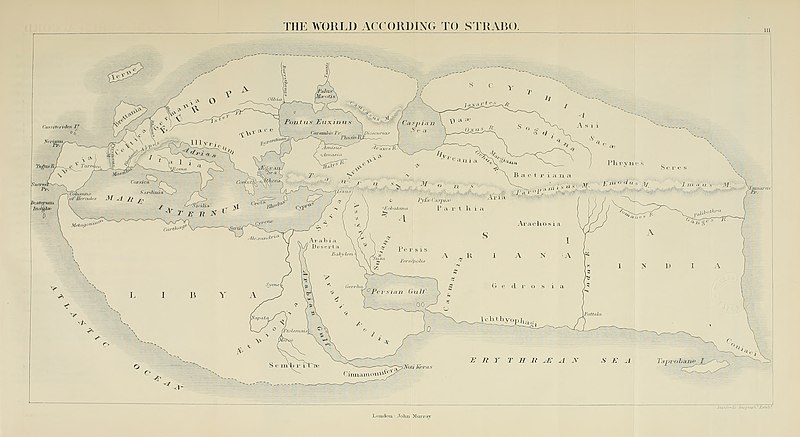
| Beskriuwing | 19th century reconstruction of World map according to Strabo (18 A.D.). | ||||||||||||||||||||||||||||||||||||||||||
| Datum | |||||||||||||||||||||||||||||||||||||||||||
| Boarne | https://archive.org/download/historyofancient02bunb/historyofancient02bunb_orig_jp2.tar/historyofancient02bunb_orig_jp2%2Fhistoryofancient02bunb_orig_0271.jp2 | ||||||||||||||||||||||||||||||||||||||||||
| Auteur |
|
||||||||||||||||||||||||||||||||||||||||||
| Tastimming (Reusing this file) |
Public domain | ||||||||||||||||||||||||||||||||||||||||||
| Oare ferzjes |
|
||||||||||||||||||||||||||||||||||||||||||


Lisinsje
|
This work is in the public domain in its country of origin and other countries and areas where the copyright term is the author's life plus 100 years or fewer. This work is in the public domain in the United States because it was published (or registered with the U.S. Copyright Office) before January 1, 1929. | |
| This file has been identified as being free of known restrictions under copyright law, including all related and neighboring rights. | |
Triemskiednis
Klik op in datum/tiid om it bestân te besjen sa't it op dat stuit wie.
| Datum/Tiid | Miniatuer | ôfmjittings | Meidogger | Opmerking | |
|---|---|---|---|---|---|
| lêste | 5 jul 2020, 17.03 | | 3.014 × 1.646 (1,49 MB) | Sette-quattro | higher quality image from https://archive.org/download/historyofancient02bunb/historyofancient02bunb_orig_jp2.tar/historyofancient02bunb_orig_jp2%2Fhistoryofancient02bunb_orig_0271.jp2 |
| 29 feb 2008, 23.11 |  | 738 × 458 (65 KB) | Anrie | {{Information |Description=19th century reconstruction of World map according to Strabo (18 A.D.). |Source= [http://www.istrianet.org/istria/history/0000-0999AD/strabo/strabo-cartography.htm istrianet.org |Date=1800s (no exact date give) |Author= No autho |
Bestânsgebrûk
De neikommende side brûkt dit bestân:
Globaal bestânsgebrûk
De neikommende oare wiki's brûke dit bestân:
- Gebrûk op af.wikipedia.org
- Gebrûk op ca.wikipedia.org
- Gebrûk op kk.wikipedia.org
- Gebrûk op pl.wikipedia.org