
Ofbyld:Nagano in Nagano Prefecture Ja.svg

Oarspronklik bestân (SVG-bestân, nominaal 393 × 608 pixels, bestânsgrutte: 16 KB)
Gearfetting
| Beskriuwing |
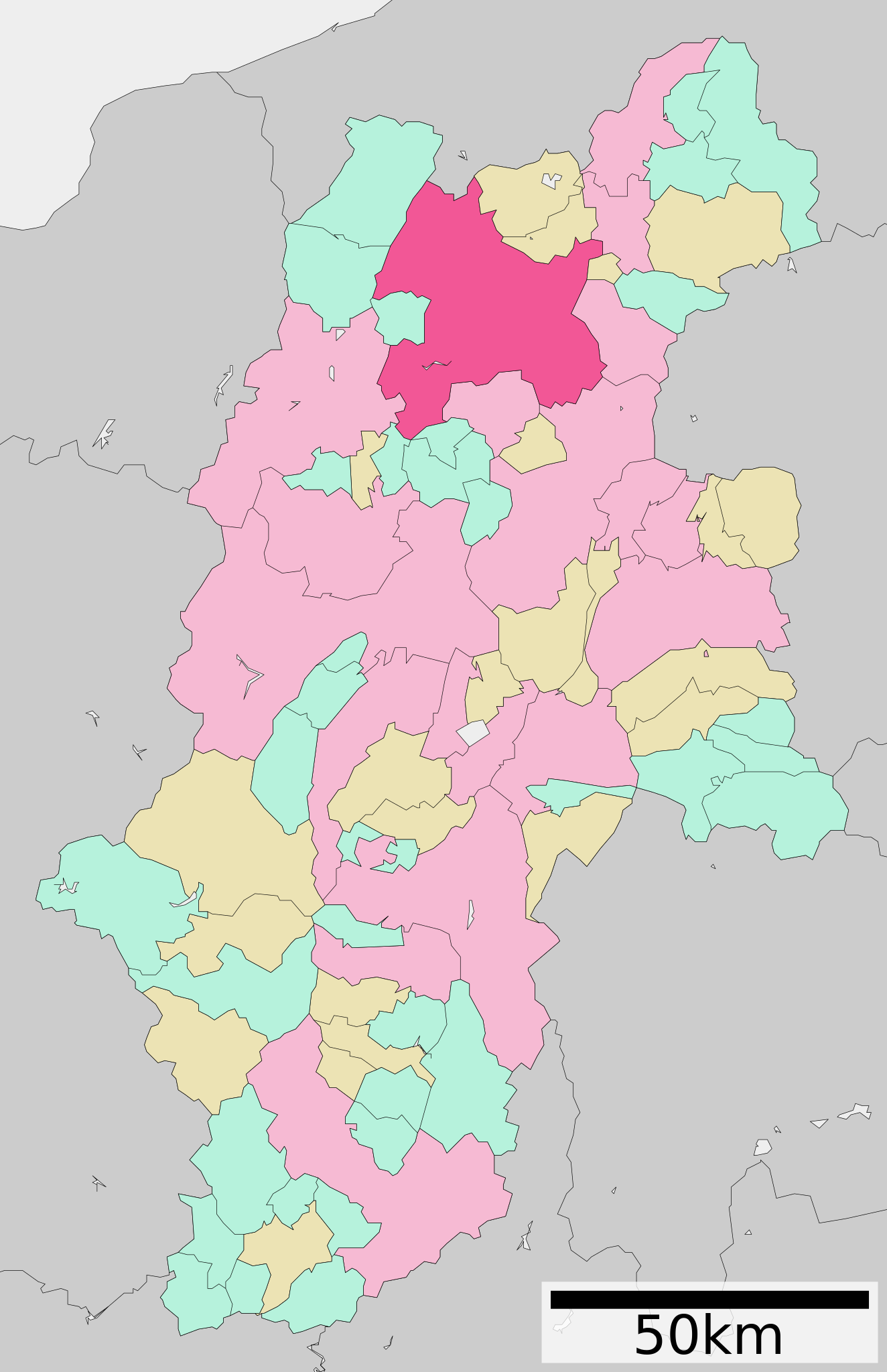
English: Location of Nagano in Nagano Prefecture
|
||
| Datum | 更新:2010年3月31日 | ||
| Boarne |
|
||
| Auteur | Lincun | ||
| Tastimming (Reusing this file) |
|
Lisinsje

|
Der wurdt tastimming jûn ta kopiearjen, fersprieden en/of wizigjen fan dit dokumint ûnder de betinksten fan de GNU-lisinsje foar iepen dokumintaasje, ferzje 1.2, as eltse lettere ferzje útjûn troch de Free Software Foundation; sûnder Ynfariante Seksjes, sûnder Omkaftteksten foar de Foarkante en sûnder Omkaftteksten foar de Efterkante. In kopy fan de lisinsje is opnaam yn de seksje "Text of the GNU Free Documentation License". |
- Fiel jo frij:
- te dielen – it wurk te kopiearjen, fersprieden en út te stjoeren
- te fermingen – it wurk oan te passen
- Under de neikommende betingsten:
- Nammefermelding – You must give appropriate credit, provide a link to the license, and indicate if changes were made. You may do so in any reasonable manner, but not in any way that suggests the licensor endorses you or your use.
- Lyk diele – If you remix, transform, or build upon the material, you must distribute your contributions under the same or compatible license as the original.
Original upload log
| This file was moved from Japanese Wikipedia.
See below for original file information. | ||||||||||||||||||||||||||||||||||||||||||||||||||||||||||||||||
| ||||||||||||||||||||||||||||||||||||||||||||||||||||||||||||||||
|
| ||||||||||||||||||||||||||||||||||||||||||||||||||||||||||||||||
Triemskiednis
Klik op in datum/tiid om it bestân te besjen sa't it op dat stuit wie.
| Datum/Tiid | Miniatuer | ôfmjittings | Meidogger | Opmerking | |
|---|---|---|---|---|---|
| lêste | 18 sep 2011, 13.46 | | 393 × 608 (16 KB) | Haaninjo | Update that includes the merged municipalities of Shinshūshinmachi and Nakajō |
| 10 apr 2010, 18.00 |  | 393 × 608 (16 KB) | Lincun | {{基礎自治体位置図画像情報|長野県|長野市|20100331}} | |
| 10 jan 2010, 08.59 |  | 393 × 608 (15 KB) | Lincun | {{基礎自治体位置図画像情報|長野県|長野市|20100101}} | |
| 3 nov 2009, 12.18 |  | 464 × 760 (16 KB) | Monaneko | Update | |
| 31 mrt 2009, 15.26 |  | 464 × 760 (16 KB) | Lincun | {{基礎自治体位置図画像情報|長野県|長野市|20090331}} | |
| 23 apr 2008, 22.11 |  | 580 × 972 (29 KB) | Krisgrotius | {{Information| |Description= Location of Nagano in Nagano Prefecture |Source= Japanese wiki [http://ja.wikipedia.org/wiki/%E7%94%BB%E5%83%8F:%E5%9F%BA%E7%A4%8E%E8%87%AA%E6%B2%BB%E4%BD%93%E4%BD%8D%E7%BD%AE%E5%9B%B3_20201.svg] |Date=~~~~~ |Author=[[:ja | |
| 3 okt 2007, 14.55 |  | 580 × 972 (29 KB) | Lincun | {{基礎自治体位置図画像情報|長野県|長野市}} |
Bestânsgebrûk
De neikommende side brûkt dit bestân:
Globaal bestânsgebrûk
De neikommende oare wiki's brûke dit bestân:
- Gebrûk op af.wikipedia.org
- Gebrûk op ar.wikipedia.org
- Gebrûk op arz.wikipedia.org
- Gebrûk op azb.wikipedia.org
- Gebrûk op bn.wikipedia.org
- Gebrûk op de.wikipedia.org
- Gebrûk op en.wikipedia.org
- Gebrûk op es.wikipedia.org
- Gebrûk op fa.wikipedia.org
- Gebrûk op fi.wikipedia.org
- Gebrûk op id.wikipedia.org
- Gebrûk op it.wikipedia.org
- Gebrûk op ja.wikipedia.org
- Gebrûk op ko.wikipedia.org
- Gebrûk op nl.wikipedia.org
- Gebrûk op nn.wikipedia.org
- Gebrûk op pt.wikipedia.org
- Gebrûk op ro.wikipedia.org
- Gebrûk op sco.wikipedia.org
- Gebrûk op sr.wikipedia.org
- Gebrûk op sv.wikipedia.org
- Gebrûk op tg.wikipedia.org
- Gebrûk op th.wikipedia.org
- Gebrûk op uk.wikipedia.org
- Gebrûk op ur.wikipedia.org
- Gebrûk op vi.wikipedia.org
- Gebrûk op www.wikidata.org