
Ofbyld:Mexico location map.svg

Size of this PNG preview of this SVG file: 800 × 522 piksels. Oare resolúsjes: 320 × 209 piksels | 640 × 418 piksels | 1.024 × 668 piksels | 1.280 × 835 piksels | 2.560 × 1.670 piksels | 2.028 × 1.323 piksels.
Oarspronklik bestân (SVG-bestân, nominaal 2.028 × 1.323 pixels, bestânsgrutte: 600 KB)
Gearfetting
| Beskriuwing |
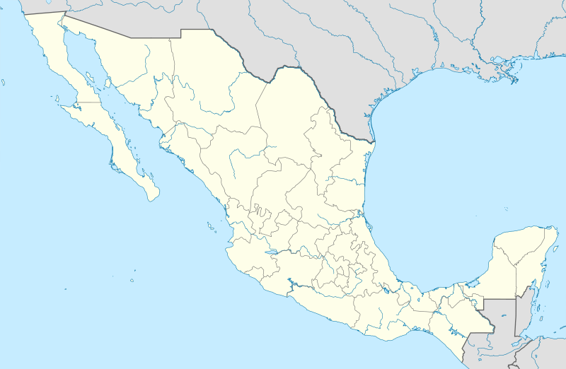
Deutsch: Positionskarte von Mexiko
Quadratische Plattkarte, N-S-Streckung 110 %. Geographische Begrenzung der Karte:
Español: Mapa de la ubicación de México
Proyección equirectangular, N / S se extiende al 110 %. Límites geográficos del mapa:
English: Location map of Mexico
Equirectangular projection, N/S stretching 110 %. Geographic limits of the map:
Հայերեն: Մեքսիկայի տեղորոշման քարտեզ
Ուղղանկյուն պրոյեկցիա, Հյուսիս-Հարավ ձգվածությունը՝ 110%։ Քարտեզում աշխարհագրական սահմանները.
|
| Datum | 11-03-2009 |
| Boarne |
own work, using
|
| Auteur | NordNordWest |
| Oare ferzjes |
Derivative works of this file: Islands of Mexico.svg
|


|
This map has been made or improved in the German Kartenwerkstatt (Map Lab). You can propose maps to improve as well.
|
Lisinsje
I, the copyright holder of this work, hereby publish it under the following licenses:

|
Der wurdt tastimming jûn ta kopiearjen, fersprieden en/of wizigjen fan dit dokumint ûnder de betinksten fan de GNU-lisinsje foar iepen dokumintaasje, ferzje 1.2, as eltse lettere ferzje útjûn troch de Free Software Foundation; sûnder Ynfariante Seksjes, sûnder Omkaftteksten foar de Foarkante en sûnder Omkaftteksten foar de Efterkante. In kopy fan de lisinsje is opnaam yn de seksje "Text of the GNU Free Documentation License". |
This file is licensed under the Creative Commons Attribution 3.0 Unported license.
- Fiel jo frij:
- te dielen – it wurk te kopiearjen, fersprieden en út te stjoeren
- te fermingen – it wurk oan te passen
- Under de neikommende betingsten:
- Nammefermelding – You must give appropriate credit, provide a link to the license, and indicate if changes were made. You may do so in any reasonable manner, but not in any way that suggests the licensor endorses you or your use.
You may select the license of your choice.
Triemskiednis
Klik op in datum/tiid om it bestân te besjen sa't it op dat stuit wie.
| Datum/Tiid | Miniatuer | ôfmjittings | Meidogger | Opmerking | |
|---|---|---|---|---|---|
| lêste | 24 jul 2012, 16.04 | | 2.028 × 1.323 (600 KB) | NordNordWest | upd |
| 11 mrt 2009, 20.34 |  | 2.029 × 1.326 (861 KB) | NordNordWest | {{Information |Description= {{de|Positionskarte von Mexiko}} Quadratische Plattkarte, N-S-Streckung 110 %. Geographische Begrenzung der Karte: * N: 33.3° N * S: 14.2° N * W: 118.5° W * O: 86.3° W {{en|Location map of [[:en:Mexico|Mexico |
Bestânsgebrûk
De neikommende 5 siden brûke dit bestân:
Globaal bestânsgebrûk
De neikommende oare wiki's brûke dit bestân:
- Gebrûk op af.wikipedia.org
- Gebrûk op als.wikipedia.org
- Gebrûk op an.wikipedia.org
- Ciudat de Mexico
- Tequixquiac
- Pachuca de Soto
- Apaxco
- Apaxco de Ocampo
- Acapulco de Juárez
- Jaltenco
- Zumpango (municipio)
- Nextlalpan
- Hueypoxtla (municipio)
- Naucalpan de Juárez
- Amecameca
- Tijuana (municipio)
- Acambay
- Toluca (municipio)
- Acolman
- Tonanitla
- Atizapán de Zaragoza
- Ecatepec de Morelos
- Tecate (municipio)
- Mexicali (municipio)
- Playas de Rosarito
- Municipio de Ensenada (Baixa California)
- Atlacomulco
- Aculco
- Ixtapaluca
Mear globaal gebrûk fan dit bestân besjen.