
Ofbyld:Canada British Columbia relief location map.jpg

Grutte fan dit proefbyld: 740 × 599 piksels. Oare resolúsjes: 296 × 240 piksels | 593 × 480 piksels | 948 × 768 piksels | 1.264 × 1.024 piksels | 2.127 × 1.723 piksels.
Oarspronklik bestân (2.127 × 1.723 pixels, bestânsgrutte: 2,04 MB, MIME-type: image/jpeg)
| Beskriuwing |
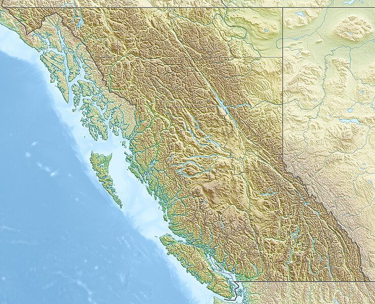
Quadratische Plattkarte, N-S-Streckung 170 %. Geographische Begrenzung der Karte:
Equirectangular projection, N/S stretching 170 %. Geographic limits of the map:
|
| Datum | |
| Boarne |
Eigen wurk, using
|
| Auteur | Carport |
| Tastimming (Reusing this file) |
This file is licensed under the Creative Commons Attribution-Share Alike 3.0 Unported license.
|
| Oare ferzjes |
|

Triemskiednis
Klik op in datum/tiid om it bestân te besjen sa't it op dat stuit wie.
| Datum/Tiid | Miniatuer | ôfmjittings | Meidogger | Opmerking | |
|---|---|---|---|---|---|
| lêste | 30 nov 2012, 18.38 | | 2.127 × 1.723 (2,04 MB) | Carport | {{Information |Description= {{de|Physische Positionskarte von British Columbia, Kanada}} Quadratische Plattkarte, N-S-Streckung 170 %. Geographische Begrenzung der Karte: * N: 60.3° N * S: 48.1° N * W: 139.3° ... |
Bestânsgebrûk
De neikommende side brûkt dit bestân:
Globaal bestânsgebrûk
De neikommende oare wiki's brûke dit bestân:
- Gebrûk op als.wikipedia.org
- Gebrûk op ar.wikipedia.org
- Gebrûk op ast.wikipedia.org
- Gebrûk op ban.wikipedia.org
- Gebrûk op ba.wikipedia.org
- Gebrûk op be-tarask.wikipedia.org
- Gebrûk op be.wikipedia.org
- Gebrûk op bg.wikipedia.org
- Ванкувър
- Лейдисмит (Канада)
- Виктория (Британска Колумбия)
- Чейс (Британска Колумбия)
- Университет на Британска Колумбия
- Съри (Канада)
- Ричмънд (Британска Колумбия)
- Уислър
- Сайпръс (планина)
- Западен Ванкувър
- Бърнаби
- Роджърс Пас (Британска Колумбия)
- Шаблон:ПК Канада Британска Колумбия
- Китсолт
- Колумбийски планини
- Карибу (планина)
- Селкирк (планина)
- Фрейзър (плато)
- Хайда Гуаи
- Gebrûk op bn.wikipedia.org
- Gebrûk op cs.wikipedia.org
Mear globaal gebrûk fan dit bestân besjen.