
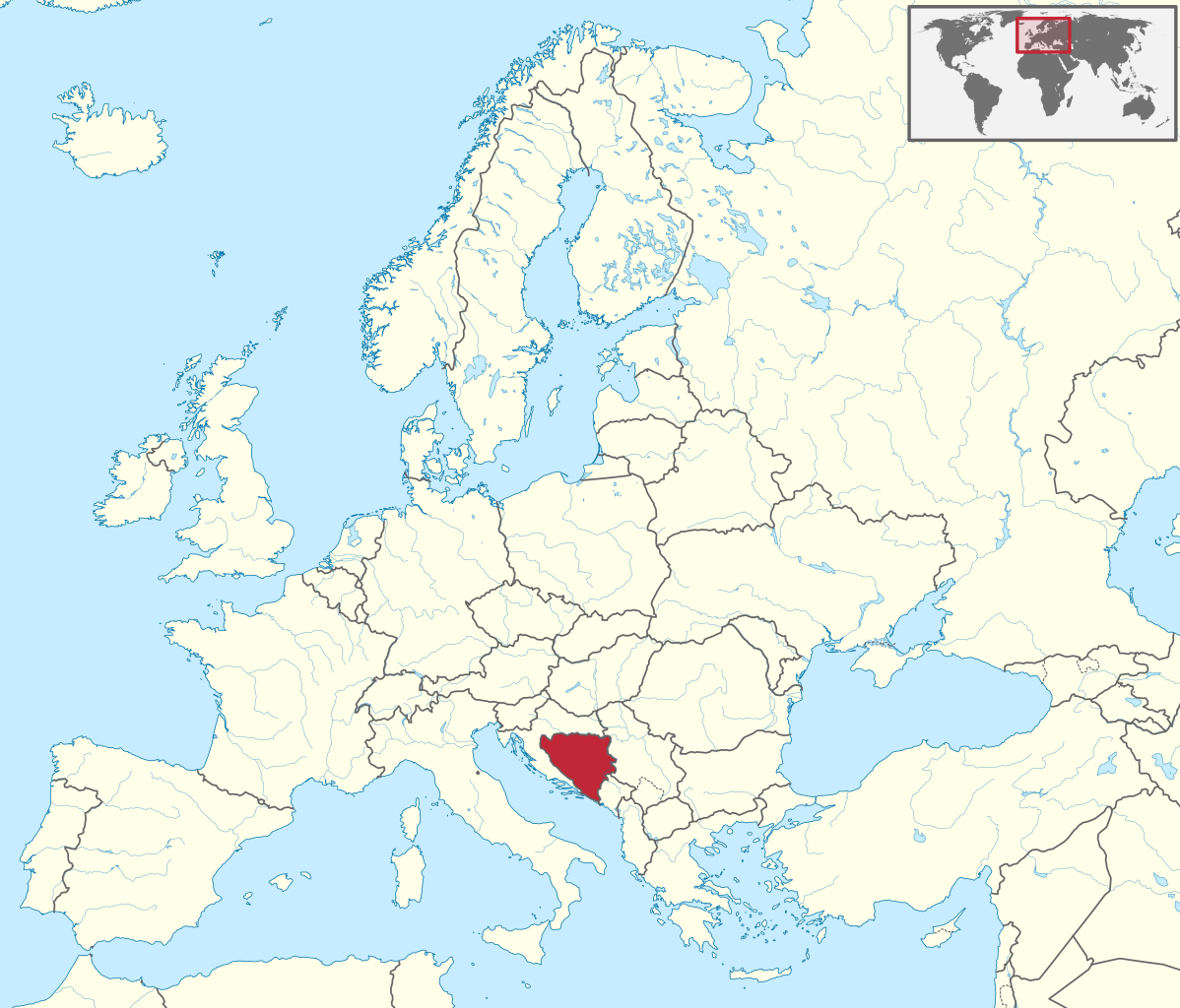
Ofbyld:Bosnia and Herzegovina in Europe.svg

Size of this PNG preview of this SVG file: 701 × 599 piksels. Oare resolúsjes: 281 × 240 piksels | 561 × 480 piksels | 898 × 768 piksels | 1.198 × 1.024 piksels | 2.395 × 2.048 piksels | 1.401 × 1.198 piksels.
Oarspronklik bestân (SVG-bestân, nominaal 1.401 × 1.198 pixels, bestânsgrutte: 2,61 MB)
Gearfetting
.svg)
.svg)
.svg)
.svg)
.svg)
.svg)
.svg)

-en.svg)

.svg)
.svg)
.svg)

_(US48).svg)
_(small_islands_magnified)_(-mini_map_-rivers).svg)
.svg)
_(extra_close)_(US48).svg)
.svg)
_(zoom).svg)

.svg)


_(UNMIK).svg)
.svg)
_(disputed_hatched).svg)
_(claimed_and_disputed_hatched).svg)
.svg)
.svg)
_(%2Ball_claims_hatched).svg)

.svg)
_(shade).svg)
_(shade)_(special_marker).svg)
_(-mini_map).svg)
_(-mini_map).svg)
_(-mini_map).svg)


.svg)

.svg)
Lisinsje
I, the copyright holder of this work, hereby publish it under the following license:
This file is licensed under the Creative Commons Attribution-Share Alike 3.0 Unported license.
- Fiel jo frij:
- te dielen – it wurk te kopiearjen, fersprieden en út te stjoeren
- te fermingen – it wurk oan te passen
- Under de neikommende betingsten:
- Nammefermelding – You must give appropriate credit, provide a link to the license, and indicate if changes were made. You may do so in any reasonable manner, but not in any way that suggests the licensor endorses you or your use.
- Lyk diele – If you remix, transform, or build upon the material, you must distribute your contributions under the same or compatible license as the original.

|
I'd greatly appreciate, that you attribute this media file to Wikimedia Commons, if used outside Wikipedia or Commons. For use in publications such as books, newspapers, blogs, websites, please insert here the following line:
|
Triemskiednis
Klik op in datum/tiid om it bestân te besjen sa't it op dat stuit wie.
| Datum/Tiid | Miniatuer | ôfmjittings | Meidogger | Opmerking | |
|---|---|---|---|---|---|
| lêste | 12 jul 2016, 06.29 | | 1.401 × 1.198 (2,61 MB) | Stasyan117 | Dotted line between Ukraine and Crimea |
| 17 mrt 2011, 16.11 |  | 1.401 × 1.198 (4,04 MB) | TUBS |
Bestânsgebrûk
De neikommende side brûkt dit bestân:
Globaal bestânsgebrûk
De neikommende oare wiki's brûke dit bestân:
- Gebrûk op ace.wikipedia.org
- Gebrûk op ang.wikipedia.org
- Gebrûk op be-tarask.wikipedia.org
- Gebrûk op bg.wikipedia.org
- Gebrûk op bs.wikiquote.org
- Gebrûk op de.wikipedia.org
- Gebrûk op en.wikinews.org
- Gebrûk op es.wikipedia.org
- Gebrûk op et.wikipedia.org
- Gebrûk op fi.wikipedia.org
- Gebrûk op frr.wikipedia.org
- Gebrûk op fr.wikipedia.org
- Gebrûk op hsb.wikipedia.org
- Gebrûk op hu.wiktionary.org
- Gebrûk op incubator.wikimedia.org
- Gebrûk op it.wiktionary.org
- Gebrûk op lv.wikipedia.org
- Gebrûk op nl.wikipedia.org
- Gebrûk op os.wikipedia.org
- Gebrûk op pl.wikipedia.org
- Gebrûk op pt.wikipedia.org
- Gebrûk op pt.wikiquote.org
- Gebrûk op pt.wiktionary.org
Mear globaal gebrûk fan dit bestân besjen.