
Ofbyld:American Samoa Districts.png
Grutte fan dit proefbyld: 776 × 600 piksels. Oare resolúsjes: 311 × 240 piksels | 621 × 480 piksels | 994 × 768 piksels | 1.280 × 989 piksels | 2.112 × 1.632 piksels.
Oarspronklik bestân (2.112 × 1.632 pixels, bestânsgrutte: 36 KB, MIME-type: image/png)

|
This map image could be re-created using vector graphics as an SVG file. This has several advantages; see Commons:Media for cleanup for more information. If an SVG form of this image is available, please upload it and afterwards replace this template with
{{vector version available|new image name}}.
It is recommended to name the SVG file “American Samoa Districts.svg”—then the template Vector version available (or Vva) does not need the new image name parameter. |
Gearfetting
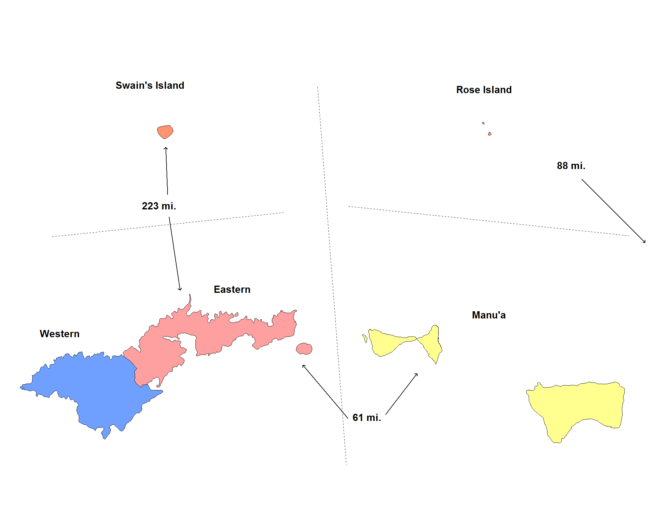
| Beskriuwing | Map of the districts of American Samoa. Created by Rarelibra for public domain use. Created using MapInfo Professional v7.5 and various mapping resources. |
| Datum | 20 novimber 2006 (original upload date) |
| Boarne | Geen machineleesbare bron opgegeven. Eigen werk aangenomen (gebaseerd op auteursrechtclaims). |
| Auteur | Geen machineleesbare auteur aanwezig. Op basis van auteursrechtclaims wordt auteur Electionworld aangenomen. |
Lisinsje
| I, the copyright holder of this work, release this work into the public domain. This applies worldwide. In some countries this may not be legally possible; if so: I grant anyone the right to use this work for any purpose, without any conditions, unless such conditions are required by law. |
Triemskiednis
Klik op in datum/tiid om it bestân te besjen sa't it op dat stuit wie.
| Datum/Tiid | Miniatuer | ôfmjittings | Meidogger | Opmerking | |
|---|---|---|---|---|---|
| lêste | 1 jun 2020, 07.14 | | 2.112 × 1.632 (36 KB) | Heitordp | Reverted to version as of 17:42, 11 January 2008 (UTC) keep previous map, many articles refer to its colors and positions |
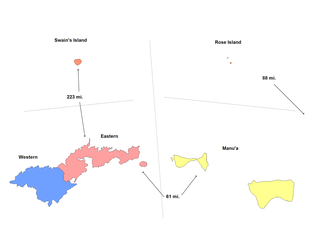
| 1 jun 2020, 05.32 | 2.104 × 808 (26 KB) | Heitordp | Removed excessive blank space, removed distances, improved shapes, moved islands to reflect real relative positions, adjusted colors, corrected atoll names, increased font size for legibility in infobox | ||
| 11 jan 2008, 19.42 |  | 2.112 × 1.632 (36 KB) | Rarelibra | update map | |
| 21 nov 2006, 00.22 |  | 953 × 598 (11 KB) | Electionworld | == Summary == Map of the districts of American Samoa. Created by Rarelibra for public domain use. Created using MapInfo Professional v7.5 and various mapping resources. == Licensing == {{PD-self}} Category:Maps of American Samoa |
Bestânsgebrûk
De neikommende side brûkt dit bestân:
Globaal bestânsgebrûk
De neikommende oare wiki's brûke dit bestân:
- Gebrûk op de.wikipedia.org
- Gebrûk op en.wikipedia.org
- Gebrûk op eu.wikipedia.org
- Gebrûk op fr.wikipedia.org
- Gebrûk op he.wikipedia.org
- Gebrûk op it.wikipedia.org
- Gebrûk op ja.wikipedia.org
- Gebrûk op ka.wikipedia.org
- Gebrûk op nl.wikipedia.org
- Gebrûk op os.wikipedia.org
- Gebrûk op pt.wikipedia.org
- Gebrûk op ru.wikipedia.org
- Gebrûk op sm.wikipedia.org
- Gebrûk op zh.wikipedia.org